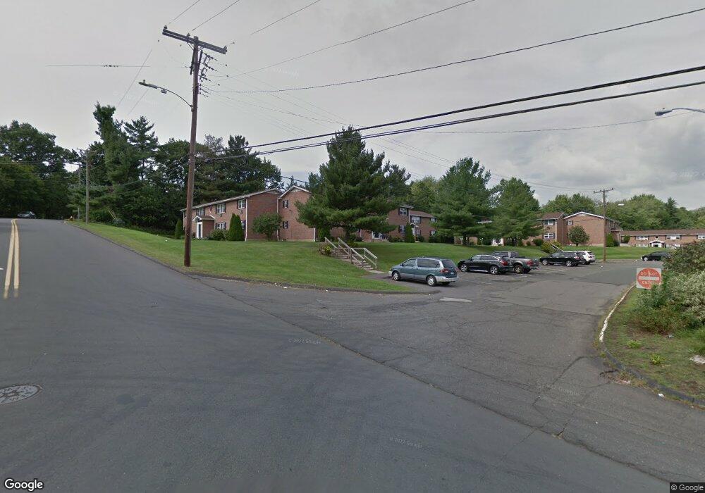
7 Mountain Laurel Dr Wethersfield, CT 06109
Estimated Value: $116,000 - $148,000
1
Bed
1
Bath
675
Sq Ft
$200/Sq Ft
Est. Value
About This Home
This home is located at 7 Mountain Laurel Dr, Wethersfield, CT 06109 and is currently estimated at $135,000, approximately $200 per square foot. 7 Mountain Laurel Dr is a home located in Hartford County with nearby schools including Alfred W. Hanmer School, Silas Deane Middle School, and Wethersfield High School.
Ownership History
Date
Name
Owned For
Owner Type
Purchase Details
Closed on
Jul 6, 2017
Sold by
Mirzoian Garen
Bought by
Oxford Hills Llc
Current Estimated Value
Purchase Details
Closed on
Nov 1, 2016
Sold by
Adanalic Damir and Adanalic Amela
Bought by
Mirzoiaz Garan
Purchase Details
Closed on
Aug 21, 2006
Sold by
Petersons Arnolds
Bought by
Adanalic Damir and Adanalic Amela
Home Financials for this Owner
Home Financials are based on the most recent Mortgage that was taken out on this home.
Original Mortgage
$81,800
Interest Rate
6.88%
Purchase Details
Closed on
Sep 18, 2003
Sold by
Mehar Yasmeen
Bought by
Petersons Arnolds
Purchase Details
Closed on
Aug 31, 1999
Sold by
Bouthet Joseph Lg
Bought by
Mehar Yasmeen
Purchase Details
Closed on
Aug 25, 1995
Sold by
Stan Mtg Co
Bought by
Department Of Housing & Urban Dev
Create a Home Valuation Report for This Property
The Home Valuation Report is an in-depth analysis detailing your home's value as well as a comparison with similar homes in the area
Home Values in the Area
Average Home Value in this Area
Purchase History
| Date | Buyer | Sale Price | Title Company |
|---|---|---|---|
| Oxford Hills Llc | -- | -- | |
| Mirzoiaz Garan | $60,000 | -- | |
| Adanalic Damir | $82,500 | -- | |
| Petersons Arnolds | $57,500 | -- | |
| Mehar Yasmeen | $29,000 | -- | |
| Department Of Housing & Urban Dev | $59,000 | -- |
Source: Public Records
Mortgage History
| Date | Status | Borrower | Loan Amount |
|---|---|---|---|
| Previous Owner | Department Of Housing & Urban Dev | $74,552 | |
| Previous Owner | Department Of Housing & Urban Dev | $81,800 | |
| Previous Owner | Department Of Housing & Urban Dev | $5,600 |
Source: Public Records
Tax History
| Year | Tax Paid | Tax Assessment Tax Assessment Total Assessment is a certain percentage of the fair market value that is determined by local assessors to be the total taxable value of land and additions on the property. | Land | Improvement |
|---|---|---|---|---|
| 2025 | $2,799 | $67,900 | $0 | $67,900 |
| 2024 | $1,992 | $46,100 | $0 | $46,100 |
| 2023 | $1,926 | $46,100 | $0 | $46,100 |
| 2022 | $1,894 | $46,100 | $0 | $46,100 |
| 2021 | $1,875 | $46,100 | $0 | $46,100 |
| 2020 | $1,876 | $46,100 | $0 | $46,100 |
| 2019 | $1,878 | $46,100 | $0 | $46,100 |
| 2018 | $1,896 | $46,500 | $0 | $46,500 |
| 2017 | $1,849 | $46,500 | $0 | $46,500 |
| 2016 | $1,792 | $46,500 | $0 | $46,500 |
| 2015 | $1,776 | $46,500 | $0 | $46,500 |
| 2014 | $1,708 | $46,500 | $0 | $46,500 |
Source: Public Records
Map
Nearby Homes
- 25 Sutton Rd
- 72 Concord Dr
- 50 Concord Dr Unit 50
- 22 Winesap Cir Unit 22
- 13 Robbins Ln Unit B
- 1610 Silas Deane Hwy
- 195 Middletown Ave
- 3 Colonial Dr Unit C
- 38 Wheeler Rd
- 89 Merriman Rd
- 59 Chapin Ave
- 119 Coleman Rd
- 268 Fox Hill Rd
- 137 Dale Rd
- 108 Chamberlain Rd
- 455 Brimfield Rd
- 2220 Harbor View Dr
- 35 Stillwold Dr
- 0 Collier Rd
- 101 Collier Rd
- 7 Mountain Laurel Dr Unit 7
- 9 Mountain Laurel Dr
- 9 Mountain Laurel Dr Unit 9
- 13 Mountain Laurel Dr
- 14 Mountain Laurel Dr
- 15 Mountain Laurel Dr
- 15 Mountain Laurel Dr Unit 15
- 86 Mountain Laurel Dr
- 83 Mountain Laurel Dr
- 83 Mountain Laurel Dr Unit 83
- 17 Mountain Laurel Dr
- 81 Mountain Laurel Dr
- 79 Mountain Laurel Dr
- 79 Mountain Laurel Dr Unit 79
- 77 Mountain Laurel Dr
- 95 Mountain Laurel Dr
- 93 Mountain Laurel Dr
- 91 Mountain Laurel Dr
- 85 Mountain Laurel Dr
- 84 Mountain Laurel Dr
Your Personal Tour Guide
Ask me questions while you tour the home.