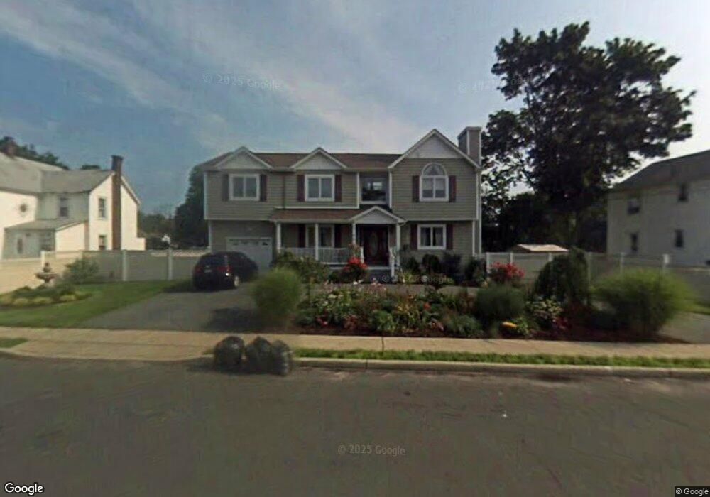
7 Muncy Ave West Babylon, NY 11704
Estimated Value: $696,651 - $840,000
Studio
--
Bath
2,553
Sq Ft
$297/Sq Ft
Est. Value
About This Home
This home is located at 7 Muncy Ave, West Babylon, NY 11704 and is currently estimated at $758,163, approximately $296 per square foot. 7 Muncy Ave is a home located in Suffolk County with nearby schools including West Babylon Senior High School and South Bay Junior Academy.
Ownership History
Date
Name
Owned For
Owner Type
Purchase Details
Closed on
Jan 7, 2005
Sold by
Madeline Developers Inc
Bought by
Wojslaw Antoni
Current Estimated Value
Purchase Details
Closed on
Feb 13, 2004
Sold by
Horton Helen E
Bought by
Madeline Developers Inc
Home Financials for this Owner
Home Financials are based on the most recent Mortgage that was taken out on this home.
Original Mortgage
$170,000
Interest Rate
13%
Mortgage Type
Stand Alone First
Create a Home Valuation Report for This Property
The Home Valuation Report is an in-depth analysis detailing your home's value as well as a comparison with similar homes in the area
Home Values in the Area
Average Home Value in this Area
Purchase History
| Date | Buyer | Sale Price | Title Company |
|---|---|---|---|
| Wojslaw Antoni | $515,000 | Ewa Bogdan | |
| Madeline Developers Inc | $170,000 | Advantage Title Agency Inc |
Source: Public Records
Mortgage History
| Date | Status | Borrower | Loan Amount |
|---|---|---|---|
| Previous Owner | Madeline Developers Inc | $170,000 |
Source: Public Records
Tax History
| Year | Tax Paid | Tax Assessment Tax Assessment Total Assessment is a certain percentage of the fair market value that is determined by local assessors to be the total taxable value of land and additions on the property. | Land | Improvement |
|---|---|---|---|---|
| 2022 | $13,535 | $4,630 | $450 | $4,180 |
| 2021 | $13,535 | $4,630 | $450 | $4,180 |
| 2020 | $14,033 | $4,630 | $450 | $4,180 |
| 2019 | $14,033 | $0 | $0 | $0 |
Source: Public Records
Map
Nearby Homes
- 49 Arnold Ave
- 45 Arnold Ave
- 204 Millard Ave Unit 204
- 234 Millard Ave Unit 234
- 359 Park Ave
- 64 Nehring Ave
- 243 Locust Ave
- 252 Locust Ave
- 79 Woodrow Pkwy
- 24 Lowerre St
- 219 Litchfield Ave
- 154A Woodrow Pkwy
- 37 Beachwood Dr
- 104 Frederick Ave
- 64 Nill St
- 248 Arnold Ave
- 104 Hawthorne Ave
- 6 Glenda Dr
- 188 Ralph Ave
- 24 Raynor St
- 352 Great East Neck Rd
- 360 Great East Neck Rd
- 15 Muncy Ave
- 366 Great East Neck Rd
- 19 Muncy Ave
- 370 Great East Neck Rd
- 23 Muncy Ave
- 359 Great East Neck Rd
- 353 Great East Neck Rd
- 10 Muncy Ave
- 363 Great East Neck Rd
- 349 Great East Neck Rd
- 0 Muncy Ave
- 369 Great East Neck Rd
- 29 Muncy Ave
- 86 Arnold Ave
- 80 Arnold Ave
- 2 Bruce St
- 3 Bruce St
- 31 Muncy Ave