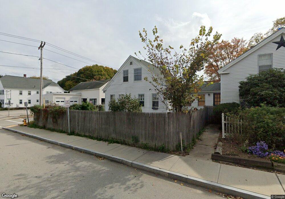
7 Myrtle Ave Webster, MA 01570
Estimated Value: $355,241
Studio
--
Bath
2,900
Sq Ft
$122/Sq Ft
Est. Value
About This Home
This home is located at 7 Myrtle Ave, Webster, MA 01570 and is currently estimated at $355,241, approximately $122 per square foot. 7 Myrtle Ave is a home located in Worcester County with nearby schools including Park Avenue Elementary School, Webster Middle School, and Bartlett High School.
Ownership History
Date
Name
Owned For
Owner Type
Purchase Details
Closed on
Sep 13, 1999
Sold by
7 Myrtle Avenue Rt
Bought by
Jarmolowicz Edward
Current Estimated Value
Home Financials for this Owner
Home Financials are based on the most recent Mortgage that was taken out on this home.
Original Mortgage
$79,000
Outstanding Balance
$23,115
Interest Rate
7.65%
Mortgage Type
Commercial
Estimated Equity
$332,126
Create a Home Valuation Report for This Property
The Home Valuation Report is an in-depth analysis detailing your home's value as well as a comparison with similar homes in the area
Home Values in the Area
Average Home Value in this Area
Purchase History
| Date | Buyer | Sale Price | Title Company |
|---|---|---|---|
| Jarmolowicz Edward | $10,000 | -- | |
| 7 Myrtle Avenue Rt | $100,000 | -- | |
| 7 Myrtle Avenue Rt | $100,000 | -- |
Source: Public Records
Mortgage History
| Date | Status | Borrower | Loan Amount |
|---|---|---|---|
| Open | 7 Myrtle Avenue Rt | $79,000 | |
| Closed | 7 Myrtle Avenue Rt | $79,000 |
Source: Public Records
Tax History
| Year | Tax Paid | Tax Assessment Tax Assessment Total Assessment is a certain percentage of the fair market value that is determined by local assessors to be the total taxable value of land and additions on the property. | Land | Improvement |
|---|---|---|---|---|
| 2025 | $1,781 | $149,900 | $34,600 | $115,300 |
| 2024 | $1,799 | $147,700 | $33,300 | $114,400 |
| 2023 | $1,785 | $142,800 | $31,700 | $111,100 |
| 2022 | $1,878 | $134,500 | $30,800 | $103,700 |
| 2021 | $1,937 | $128,300 | $30,800 | $97,500 |
| 2020 | $1,928 | $128,000 | $30,800 | $97,200 |
| 2019 | $1,956 | $127,600 | $30,800 | $96,800 |
| 2018 | $0 | $126,900 | $30,800 | $96,100 |
| 2017 | $0 | $127,400 | $32,400 | $95,000 |
| 2016 | -- | $129,600 | $32,400 | $97,200 |
| 2015 | -- | $129,300 | $31,800 | $97,500 |
Source: Public Records
Map
Nearby Homes
- 9 Myrtle Ave Unit 2
- 9 Myrtle Ave Unit 1
- 14 Negus St
- 11 Myrtle Ave
- 11 Myrtle Ave Unit 2
- 15 Brookline St
- 16 Negus St
- 16 Negus St Unit 1
- 16 Negus St Unit 2 east
- 16 Negus St Unit 2 west
- 16 Brookline St
- 18 Negus St
- 18 Negus St Unit 1
- 0 Myrtle Ave
- 20 Negus St
- 6 May St
- 12 Negus St
- 24 Negus St Unit 1
- 24 Negus St
- 27 Park St
Your Personal Tour Guide
Ask me questions while you tour the home.