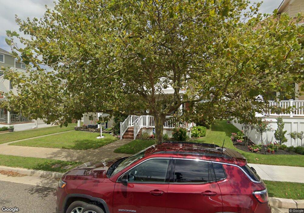
7 N 29th Ave Longport, NJ 08403
Estimated Value: $994,000 - $1,594,000
--
Bed
--
Bath
1,377
Sq Ft
$1,007/Sq Ft
Est. Value
About This Home
This home is located at 7 N 29th Ave, Longport, NJ 08403 and is currently estimated at $1,386,285, approximately $1,006 per square foot. 7 N 29th Ave is a home located in Atlantic County with nearby schools including Blessed Sacrament Regional School, St. James Elementary School, and Saint Joseph Regional School.
Ownership History
Date
Name
Owned For
Owner Type
Purchase Details
Closed on
Sep 1, 2009
Sold by
Mccomb James J
Bought by
Gunn Joseph P and Gunn Evelyn M
Current Estimated Value
Purchase Details
Closed on
Mar 5, 2009
Sold by
Mccomb James J and Mccomb Joan M
Bought by
Mccomb James J
Purchase Details
Closed on
Apr 22, 1999
Sold by
Donahue Thomas E
Bought by
Mccomb James J and Mccomb Joan M
Home Financials for this Owner
Home Financials are based on the most recent Mortgage that was taken out on this home.
Original Mortgage
$161,500
Interest Rate
6.92%
Purchase Details
Closed on
Oct 24, 1998
Sold by
Donahue Margaret
Bought by
Donahue Thomas E
Create a Home Valuation Report for This Property
The Home Valuation Report is an in-depth analysis detailing your home's value as well as a comparison with similar homes in the area
Home Values in the Area
Average Home Value in this Area
Purchase History
| Date | Buyer | Sale Price | Title Company |
|---|---|---|---|
| Gunn Joseph P | -- | None Available | |
| Mccomb James J | -- | None Available | |
| Mccomb James J | $170,000 | The Title Company | |
| Donahue Thomas E | $180,000 | -- |
Source: Public Records
Mortgage History
| Date | Status | Borrower | Loan Amount |
|---|---|---|---|
| Previous Owner | Mccomb James J | $161,500 |
Source: Public Records
Tax History Compared to Growth
Tax History
| Year | Tax Paid | Tax Assessment Tax Assessment Total Assessment is a certain percentage of the fair market value that is determined by local assessors to be the total taxable value of land and additions on the property. | Land | Improvement |
|---|---|---|---|---|
| 2025 | $6,601 | $588,300 | $513,600 | $74,700 |
| 2024 | $6,601 | $588,300 | $513,600 | $74,700 |
| 2023 | $5,959 | $588,300 | $513,600 | $74,700 |
| 2022 | $5,959 | $588,300 | $513,600 | $74,700 |
| 2021 | $5,724 | $588,300 | $513,600 | $74,700 |
| 2020 | $5,801 | $588,300 | $513,600 | $74,700 |
| 2019 | $5,789 | $588,300 | $513,600 | $74,700 |
| 2018 | $5,789 | $588,300 | $513,600 | $74,700 |
| 2017 | $5,671 | $588,300 | $513,600 | $74,700 |
| 2016 | $5,448 | $588,300 | $513,600 | $74,700 |
| 2015 | $5,336 | $588,300 | $513,600 | $74,700 |
| 2014 | $5,283 | $588,300 | $513,600 | $74,700 |
Source: Public Records
Map
Nearby Homes
- 32 N Pelham Ave
- 32 N Manor Ave
- 3008 Ventnor Ave
- 24 N Evergreen Ave
- 2700 Atlantic Ave Unit 209
- 2700 Atlantic Ave Unit 419
- 2700 Atlantic Ave Unit 515
- 2404 Atlantic Ave
- 3216 Pacific Ave
- 3301 Atlantic Ave
- 212 N 33rd Ave
- 9801 Ventnor Ave Unit B-1
- 22 N Coolidge Ave
- 9704 Ventnor Ave Unit D
- 104 S Monroe Ave
- 100 N Monroe #2 Ave
- 7 S Monroe Ave
- 9600 Atlantic Ave Unit 715
- 9600 Atlantic Ave Unit 1811
- 9600 Atlantic Ave Unit 1713
- 5 N 29th Ave
- 11 N 29th Ave
- 26 N 29th Ave
- 15 N 29th Ave
- 3 N 29th Ave
- 9 N Overbrook Ave
- 13 N Overbrook Ave
- 3 N Overbrook Ave
- 17 N Overbrook Ave
- 2904 Longport Dr
- 2900 Longport Dr
- 1 N 29th Ave
- 4 N Pelham Ave
- 1 N Overbrook Ave
- 10 N Pelham Ave
- 2906 Longport Dr
- 18 N Pelham Ave
- 2 N Pelham Ave
- 32 N 29th Ave
- 2908 Longport Dr