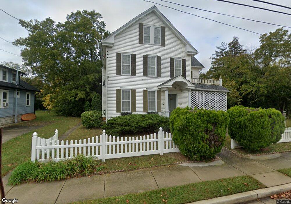
7 N Boyd St Cape May Court House, NJ 08210
Estimated Value: $431,000 - $544,000
--
Bed
--
Bath
2,228
Sq Ft
$221/Sq Ft
Est. Value
About This Home
This home is located at 7 N Boyd St, Cape May Court House, NJ 08210 and is currently estimated at $491,836, approximately $220 per square foot. 7 N Boyd St is a home located in Cape May County with nearby schools including Middle Township Elementary No. 1, Middle Township Elementary No. 2, and Middle Township Middle School.
Ownership History
Date
Name
Owned For
Owner Type
Purchase Details
Closed on
Nov 7, 2006
Sold by
Moradi Nik and Moradi Deborah
Bought by
Moradi Deborah
Current Estimated Value
Purchase Details
Closed on
Dec 3, 2004
Sold by
Frank Thomas C
Bought by
Moradi Nik and Moradi Deborah
Home Financials for this Owner
Home Financials are based on the most recent Mortgage that was taken out on this home.
Original Mortgage
$252,000
Outstanding Balance
$125,361
Interest Rate
5.63%
Mortgage Type
Purchase Money Mortgage
Estimated Equity
$366,475
Purchase Details
Closed on
Jan 30, 2004
Sold by
Samselski Ludwik S
Bought by
Frank Thomas C
Home Financials for this Owner
Home Financials are based on the most recent Mortgage that was taken out on this home.
Original Mortgage
$187,500
Interest Rate
9%
Mortgage Type
Purchase Money Mortgage
Create a Home Valuation Report for This Property
The Home Valuation Report is an in-depth analysis detailing your home's value as well as a comparison with similar homes in the area
Home Values in the Area
Average Home Value in this Area
Purchase History
| Date | Buyer | Sale Price | Title Company |
|---|---|---|---|
| Moradi Deborah | -- | None Available | |
| Moradi Nik | $315,000 | Shore Title Agency Inc | |
| Frank Thomas C | $250,000 | -- | |
| Frank Thomas C | $250,000 | Shore Title Agency Inc |
Source: Public Records
Mortgage History
| Date | Status | Borrower | Loan Amount |
|---|---|---|---|
| Open | Moradi Nik | $252,000 | |
| Previous Owner | Frank Thomas C | $187,500 | |
| Previous Owner | Frank Thomas C | $18,750 |
Source: Public Records
Tax History Compared to Growth
Tax History
| Year | Tax Paid | Tax Assessment Tax Assessment Total Assessment is a certain percentage of the fair market value that is determined by local assessors to be the total taxable value of land and additions on the property. | Land | Improvement |
|---|---|---|---|---|
| 2025 | $4,671 | $221,500 | $127,100 | $94,400 |
| 2024 | $4,671 | $221,500 | $127,100 | $94,400 |
| 2023 | $4,554 | $221,500 | $127,100 | $94,400 |
| 2022 | $4,423 | $221,500 | $127,100 | $94,400 |
| 2021 | $4,120 | $221,500 | $127,100 | $94,400 |
| 2020 | $4,228 | $221,500 | $127,100 | $94,400 |
| 2019 | $4,120 | $221,500 | $127,100 | $94,400 |
| 2018 | $4,056 | $221,500 | $127,100 | $94,400 |
| 2017 | $3,974 | $221,500 | $127,100 | $94,400 |
| 2016 | $3,874 | $221,500 | $127,100 | $94,400 |
| 2015 | $3,845 | $221,500 | $127,100 | $94,400 |
| 2014 | $3,821 | $221,500 | $127,100 | $94,400 |
Source: Public Records
Map
Nearby Homes
- 24 Church St
- 13 Poplar St
- 220 Hand Ave
- 215 S Boyd St
- 212 Shunpike Rd
- 33 E Mechanic St
- 310 Front St
- 26 Crest Rd
- 4 Railroad Ave
- 90 Wynndemere Ct
- 105 E Atlantic Ave
- 306 3rd St
- 416 Hand Ave
- 100 Osprey Dr Unit 100
- 62 Wynndemere Ct
- 706 Bennett Rd
- 211 Colonial Ave
- 308 Osprey Dr Unit 1003E1
- 3 Whimbrel Way Unit B1
- 3 Whimbrel Way Unit 3 Whimbrel