7 N Landing Way Gloucester, MA 01930
West Gloucester NeighborhoodEstimated Value: $700,000 - $969,000
3
Beds
1
Bath
1,255
Sq Ft
$664/Sq Ft
Est. Value
About This Home
This home is located at 7 N Landing Way, Gloucester, MA 01930 and is currently estimated at $833,562, approximately $664 per square foot. 7 N Landing Way is a home located in Essex County with nearby schools including West Parish, Ralph B O'maley Middle School, and Faith Christian School.
Ownership History
Date
Name
Owned For
Owner Type
Purchase Details
Closed on
Oct 7, 2019
Sold by
Borselli Kevin R and Borselli Michael J
Bought by
Borselli Joanne M
Current Estimated Value
Purchase Details
Closed on
Feb 11, 2019
Sold by
Borselli Nt and Borselli
Bought by
Borselli Joanne M and Borselli Kevin R
Create a Home Valuation Report for This Property
The Home Valuation Report is an in-depth analysis detailing your home's value as well as a comparison with similar homes in the area
Home Values in the Area
Average Home Value in this Area
Purchase History
| Date | Buyer | Sale Price | Title Company |
|---|---|---|---|
| Borselli Joanne M | $400,000 | -- | |
| Borselli Joanne M | $400,000 | -- | |
| Borselli Joanne M | -- | -- | |
| Borselli Joanne M | -- | -- |
Source: Public Records
Tax History Compared to Growth
Tax History
| Year | Tax Paid | Tax Assessment Tax Assessment Total Assessment is a certain percentage of the fair market value that is determined by local assessors to be the total taxable value of land and additions on the property. | Land | Improvement |
|---|---|---|---|---|
| 2025 | $8,492 | $873,700 | $517,500 | $356,200 |
| 2024 | $8,204 | $843,200 | $492,500 | $350,700 |
| 2023 | $7,944 | $750,100 | $420,300 | $329,800 |
| 2022 | $7,554 | $644,000 | $365,600 | $278,400 |
| 2021 | $7,491 | $602,200 | $332,200 | $270,000 |
| 2020 | $7,100 | $575,800 | $332,200 | $243,600 |
| 2019 | $6,901 | $543,800 | $316,800 | $227,000 |
| 2018 | $6,756 | $522,500 | $309,000 | $213,500 |
| 2017 | $6,577 | $498,600 | $294,500 | $204,100 |
| 2016 | $6,255 | $459,600 | $281,600 | $178,000 |
| 2015 | $5,138 | $376,400 | $239,200 | $137,200 |
Source: Public Records
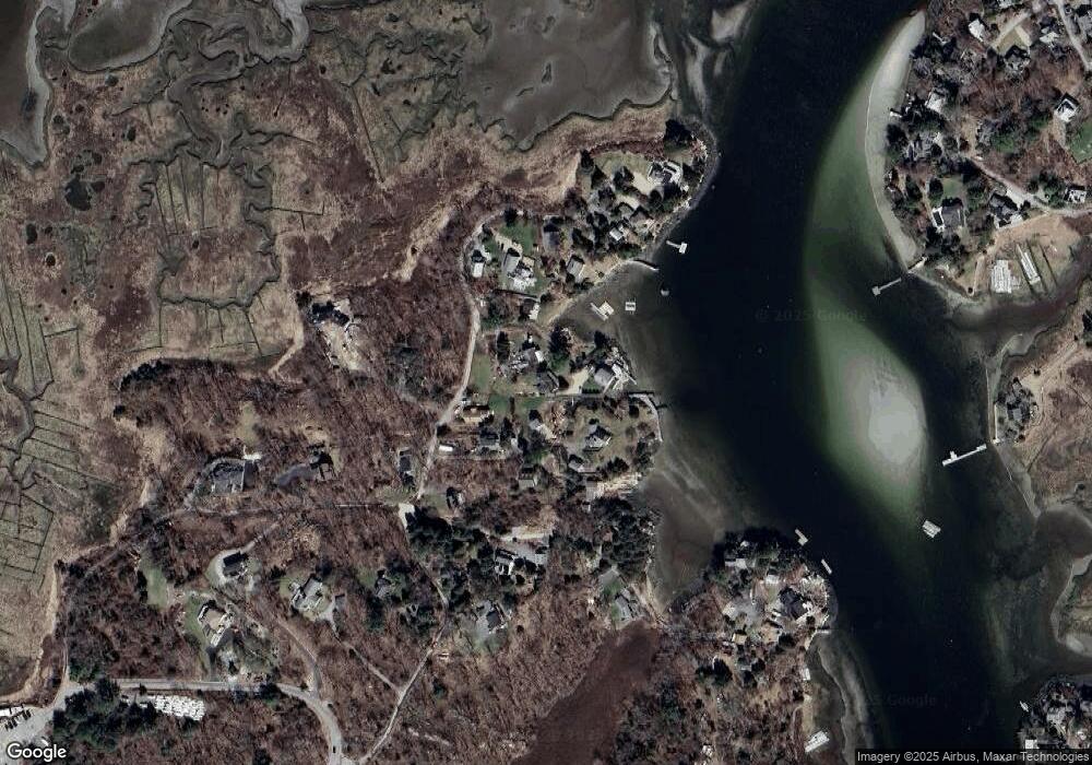
Map
Nearby Homes
- 109 Riverview Rd
- 5 Samoset Rd Unit A
- 30 Atlantic St
- 49 Thurston Point Rd
- 145 Essex Ave Unit 610
- 18 Cherry St
- 227 Essex Ave
- 65 Poplar St
- 196 Washington St
- 368 Essex Ave
- 15 Harvard St
- 19 Mystic Ave
- 3 Stone Ct
- 188 Atlantic St
- 12 Woodward Ave
- 78 Grove St
- 226 Atlantic St
- 8 Summer St Unit 103
- 40 Sargent St
- 33 Maplewood Ave Unit 21