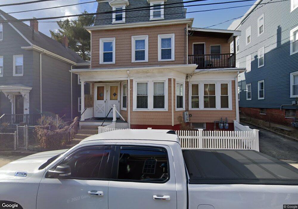
7 Newbury St Somerville, MA 02144
Teele Square NeighborhoodEstimated Value: $1,369,000 - $1,583,000
5
Beds
3
Baths
2,927
Sq Ft
$507/Sq Ft
Est. Value
About This Home
This home is located at 7 Newbury St, Somerville, MA 02144 and is currently estimated at $1,482,667, approximately $506 per square foot. 7 Newbury St is a home located in Middlesex County with nearby schools including Somerville High School, Benjamin Banneker Charter Public School, and International School of Boston.
Ownership History
Date
Name
Owned For
Owner Type
Purchase Details
Closed on
Jun 22, 2023
Sold by
Charles Dellanno T and Charles Dellanno
Bought by
2023 Irt Dellanno Ft and Moschella
Current Estimated Value
Purchase Details
Closed on
Jul 8, 2019
Sold by
Dellanno Charles
Bought by
Charles Dellanno Ret
Purchase Details
Closed on
Mar 10, 2014
Sold by
Dellanno Anthony and Gann Stella
Bought by
Dellanno Charles
Purchase Details
Closed on
Jun 7, 2010
Sold by
Dellanno Charles
Bought by
Dellanno Anthony and Gann Stella
Create a Home Valuation Report for This Property
The Home Valuation Report is an in-depth analysis detailing your home's value as well as a comparison with similar homes in the area
Home Values in the Area
Average Home Value in this Area
Purchase History
| Date | Buyer | Sale Price | Title Company |
|---|---|---|---|
| 2023 Irt Dellanno Ft | -- | None Available | |
| Charles Dellanno Ret | -- | -- | |
| Dellanno Charles | -- | -- | |
| Dellanno Anthony | -- | -- |
Source: Public Records
Tax History Compared to Growth
Tax History
| Year | Tax Paid | Tax Assessment Tax Assessment Total Assessment is a certain percentage of the fair market value that is determined by local assessors to be the total taxable value of land and additions on the property. | Land | Improvement |
|---|---|---|---|---|
| 2025 | $12,720 | $1,165,900 | $616,000 | $549,900 |
| 2024 | $12,020 | $1,142,600 | $616,000 | $526,600 |
| 2023 | $11,767 | $1,138,000 | $616,000 | $522,000 |
| 2022 | $11,191 | $1,099,300 | $586,600 | $512,700 |
| 2021 | $10,529 | $1,033,300 | $569,500 | $463,800 |
| 2020 | $10,110 | $1,002,000 | $568,500 | $433,500 |
| 2019 | $9,114 | $847,000 | $471,700 | $375,300 |
| 2018 | $8,902 | $787,100 | $470,000 | $317,100 |
| 2017 | $8,767 | $751,200 | $443,400 | $307,800 |
| 2016 | $8,884 | $709,000 | $418,900 | $290,100 |
| 2015 | $8,407 | $666,700 | $383,600 | $283,100 |
Source: Public Records
Map
Nearby Homes
- 69 Clarendon Ave Unit A
- 11 Watson St Unit 1
- 11 Watson St Unit 2
- 29 Packard Ave
- 55 Packard Ave Unit 1
- 39 Seven Pines Ave
- 24 Washburn Ave Unit 1
- 202 Powder House Blvd Unit 2
- 57 Garrison Ave
- 20 Electric Ave Unit 2
- 67-69 Cameron Ave
- 34 Belknap St
- 23 Ossipee Rd
- 32 Cameron Ave
- 6 Hamilton Rd Unit 6
- 235 Powder House Blvd
- 97 Elmwood St Unit 313
- 97 Elmwood St Unit 110
- 97 Elmwood St Unit 310
- 33 Conwell Ave
- 999 Newbury St
- 5 Newbury St
- 9 Newbury St
- 9 Newbury St Unit 999
- 1154 Broadway
- 248 Holland St
- 11 Newbury St
- 11 Newbury St Unit 1
- 10 Clarendon Ave
- 10 Clarendon Ave Unit 1
- 10 Clarendon Ave Unit 2
- 12 Clarendon Ave
- 1150 Broadway Unit 4
- 1150 Broadway Unit 2
- 1148 Broadway
- 1156 Broadway
- 12 Newbury St Unit 3
- 12 Newbury St Unit 2
- 12 Newbury St Unit 1
- 15 Newbury St