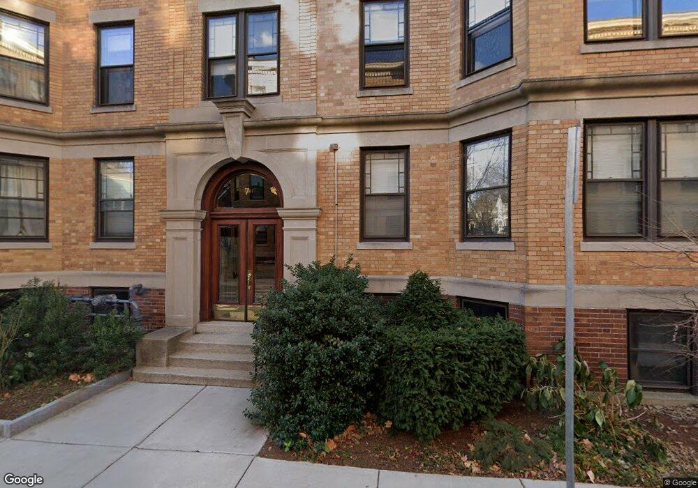
7 Newport Rd Unit B Cambridge, MA 02140
Baldwin NeighborhoodEstimated Value: $643,000 - $920,000
3
Beds
1
Bath
960
Sq Ft
$788/Sq Ft
Est. Value
About This Home
This home is located at 7 Newport Rd Unit B, Cambridge, MA 02140 and is currently estimated at $756,319, approximately $787 per square foot. 7 Newport Rd Unit B is a home located in Middlesex County with nearby schools including St Peter School and Saint Theresa School.
Ownership History
Date
Name
Owned For
Owner Type
Purchase Details
Closed on
Aug 28, 2009
Sold by
Rodibaugh Teresea E
Bought by
Macharla Veerbhadra and Macharla Jyothi
Current Estimated Value
Home Financials for this Owner
Home Financials are based on the most recent Mortgage that was taken out on this home.
Original Mortgage
$160,000
Outstanding Balance
$104,533
Interest Rate
5.17%
Mortgage Type
Purchase Money Mortgage
Estimated Equity
$651,786
Create a Home Valuation Report for This Property
The Home Valuation Report is an in-depth analysis detailing your home's value as well as a comparison with similar homes in the area
Home Values in the Area
Average Home Value in this Area
Purchase History
| Date | Buyer | Sale Price | Title Company |
|---|---|---|---|
| Macharla Veerbhadra | $200,000 | -- |
Source: Public Records
Mortgage History
| Date | Status | Borrower | Loan Amount |
|---|---|---|---|
| Open | Macharla Veerbhadra | $160,000 |
Source: Public Records
Tax History Compared to Growth
Tax History
| Year | Tax Paid | Tax Assessment Tax Assessment Total Assessment is a certain percentage of the fair market value that is determined by local assessors to be the total taxable value of land and additions on the property. | Land | Improvement |
|---|---|---|---|---|
| 2025 | $3,393 | $534,400 | $0 | $534,400 |
| 2024 | $3,119 | $526,900 | $0 | $526,900 |
| 2023 | $3,041 | $519,000 | $0 | $519,000 |
| 2022 | $2,988 | $515,700 | $0 | $515,700 |
| 2021 | $2,988 | $510,800 | $0 | $510,800 |
| 2020 | $2,873 | $499,600 | $0 | $499,600 |
| 2019 | $2,751 | $463,100 | $0 | $463,100 |
| 2018 | $2,736 | $425,200 | $0 | $425,200 |
| 2017 | $2,223 | $342,500 | $0 | $342,500 |
| 2016 | $2,139 | $306,000 | $0 | $306,000 |
| 2015 | $2,120 | $271,100 | $0 | $271,100 |
| 2014 | $2,079 | $248,100 | $0 | $248,100 |
Source: Public Records
Map
Nearby Homes
- 15-15A Forest St
- 3 Arlington St Unit 52
- 22 Agassiz St
- 749 Somerville Ave Unit 1
- 32-40 White St
- 1 Richdale Ave Unit 2
- 24 Cambridge Terrace Unit 2
- 8 Craigie St
- 72 Oxford St Unit 72
- 72 Oxford St
- 74 Oxford St
- 74 Oxford St Unit 3
- 86 Avon Hill St
- 43 Linnaean St Unit 42
- 13 Mellen St Unit Front
- 31-33 Mellen St
- 35 Mellen St
- 22 Lowell St Unit 3
- 37 Mellen St
- 35 Ibbetson St
- 7 Newport Rd Unit 8
- 7 Newport Rd
- 7 Newport Rd Unit 6
- 7 Newport Rd Unit 5
- 7 Newport Rd Unit 4
- 7 Newport Rd Unit 3
- 7 Newport Rd Unit 2
- 7 Newport Rd Unit 1
- 7 Newport Rd
- 7 Newport Rd Unit 7
- 7 Newport Rd Unit 4,7
- 7 Newport Rd Unit Parking
- 5 Newport Rd Unit 8
- 5 Newport Rd Unit 7
- 5 Newport Rd Unit 6
- 5 Newport Rd
- 5 Newport Rd Unit 4
- 5 Newport Rd Unit 3
- 5 Newport Rd Unit 2
- 5 Newport Rd Unit 1