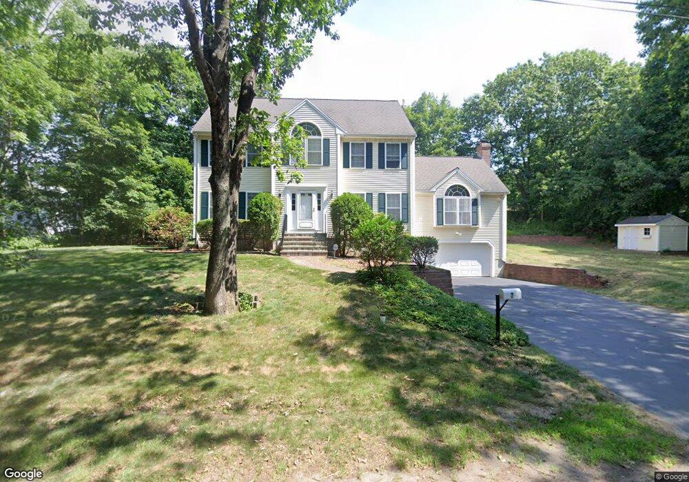
7 Norton Ave Walpole, MA 02081
Estimated Value: $921,836 - $1,160,000
4
Beds
3
Baths
2,514
Sq Ft
$416/Sq Ft
Est. Value
About This Home
This home is located at 7 Norton Ave, Walpole, MA 02081 and is currently estimated at $1,045,959, approximately $416 per square foot. 7 Norton Ave is a home located in Norfolk County with nearby schools including Fisher School, Walpole Middle School, and Walpole High School.
Ownership History
Date
Name
Owned For
Owner Type
Purchase Details
Closed on
Mar 23, 2017
Sold by
Albadawi Mona B
Bought by
Albadawi Hassan and Bissany Mona
Current Estimated Value
Purchase Details
Closed on
Oct 31, 2002
Sold by
Diamond Brook Rt
Bought by
Albadawi Mona B
Home Financials for this Owner
Home Financials are based on the most recent Mortgage that was taken out on this home.
Original Mortgage
$115,000
Interest Rate
6.09%
Mortgage Type
Purchase Money Mortgage
Create a Home Valuation Report for This Property
The Home Valuation Report is an in-depth analysis detailing your home's value as well as a comparison with similar homes in the area
Home Values in the Area
Average Home Value in this Area
Purchase History
| Date | Buyer | Sale Price | Title Company |
|---|---|---|---|
| Albadawi Hassan | -- | -- | |
| Albadawi Mona B | $449,900 | -- |
Source: Public Records
Mortgage History
| Date | Status | Borrower | Loan Amount |
|---|---|---|---|
| Previous Owner | Albadawi Mona B | $115,000 |
Source: Public Records
Tax History
| Year | Tax Paid | Tax Assessment Tax Assessment Total Assessment is a certain percentage of the fair market value that is determined by local assessors to be the total taxable value of land and additions on the property. | Land | Improvement |
|---|---|---|---|---|
| 2025 | $11,583 | $902,800 | $323,400 | $579,400 |
| 2024 | $11,168 | $844,800 | $310,900 | $533,900 |
| 2023 | $10,505 | $756,300 | $270,400 | $485,900 |
| 2022 | $9,653 | $667,600 | $250,400 | $417,200 |
| 2021 | $9,501 | $640,200 | $236,200 | $404,000 |
| 2020 | $9,180 | $612,400 | $222,900 | $389,500 |
| 2019 | $8,865 | $587,100 | $214,300 | $372,800 |
| 2018 | $8,632 | $565,300 | $206,800 | $358,500 |
| 2017 | $8,395 | $547,600 | $198,900 | $348,700 |
| 2016 | $8,133 | $522,700 | $191,200 | $331,500 |
| 2015 | $7,914 | $504,100 | $182,100 | $322,000 |
| 2014 | $7,647 | $485,200 | $182,100 | $303,100 |
Source: Public Records
Map
Nearby Homes
- 881 Main St Unit 9
- 56 North St
- 222 School St Unit 9
- 224 School St Unit 9
- 50 Riverside Place
- 1110 Main St
- 291 Plimpton St
- 260 Elm St
- 145 South St Unit 5
- 486 Washington St
- 1 Merganser Way
- 363 - 367 Washington St
- 37 Alice Ave
- 1391 Main St Unit 308
- 1391 Main St Unit 306
- 1391 Main St Unit 304
- 19 and 23 Arlington Ln
- 241 Fisher St
- 1 Providence Hwy
- 1 Palace Ct
- 20 School St Unit 22
- 172 Kendall St
- 5 Norton Ave
- 3 Norton Ave
- 182 Kendall St
- 24 School St
- 28 School St
- 28 School St Unit 1
- 28 School St Unit 2
- 17 Hartshorn Rd Unit 19
- 166 Kendall St
- 17-19 Hartshorn Rd
- 5 Mason St
- 16 School St
- 14 Hartshorn Rd
- 3 Mason St
- 12 Hartshorn Rd
- 8 Mason St
- 198 Kendall St
- 171 Kendall St
Your Personal Tour Guide
Ask me questions while you tour the home.