7 Norwell St Norfolk, MA 02056
Estimated Value: $461,000 - $532,000
3
Beds
1
Bath
1,116
Sq Ft
$442/Sq Ft
Est. Value
About This Home
This home is located at 7 Norwell St, Norfolk, MA 02056 and is currently estimated at $493,049, approximately $441 per square foot. 7 Norwell St is a home located in Norfolk County with nearby schools including H. Olive Day School, Freeman-Kennedy School, and Woodside Montessori Academy.
Ownership History
Date
Name
Owned For
Owner Type
Purchase Details
Closed on
Oct 3, 2011
Sold by
Davis Matthew H
Bought by
Davis Matthew H and Tzellas Urania
Current Estimated Value
Home Financials for this Owner
Home Financials are based on the most recent Mortgage that was taken out on this home.
Original Mortgage
$171,000
Outstanding Balance
$16,216
Interest Rate
4.15%
Mortgage Type
Purchase Money Mortgage
Estimated Equity
$476,833
Purchase Details
Closed on
Jun 27, 2008
Sold by
Taylor Dorothy E and Mcglynn Nancy T
Bought by
Davis Matthew H
Home Financials for this Owner
Home Financials are based on the most recent Mortgage that was taken out on this home.
Original Mortgage
$184,000
Interest Rate
6.07%
Mortgage Type
Purchase Money Mortgage
Create a Home Valuation Report for This Property
The Home Valuation Report is an in-depth analysis detailing your home's value as well as a comparison with similar homes in the area
Home Values in the Area
Average Home Value in this Area
Purchase History
| Date | Buyer | Sale Price | Title Company |
|---|---|---|---|
| Davis Matthew H | -- | -- | |
| Davis Matthew H | $235,000 | -- | |
| Davis Matthew H | -- | -- |
Source: Public Records
Mortgage History
| Date | Status | Borrower | Loan Amount |
|---|---|---|---|
| Open | Davis Matthew H | $171,000 | |
| Previous Owner | Davis Matthew H | $184,000 |
Source: Public Records
Tax History Compared to Growth
Tax History
| Year | Tax Paid | Tax Assessment Tax Assessment Total Assessment is a certain percentage of the fair market value that is determined by local assessors to be the total taxable value of land and additions on the property. | Land | Improvement |
|---|---|---|---|---|
| 2025 | $6,620 | $414,500 | $190,600 | $223,900 |
| 2024 | $6,145 | $394,700 | $190,600 | $204,100 |
| 2023 | $5,847 | $356,300 | $190,600 | $165,700 |
| 2022 | $5,926 | $325,600 | $178,500 | $147,100 |
| 2021 | $5,865 | $326,000 | $173,300 | $152,700 |
| 2020 | $5,301 | $284,400 | $157,400 | $127,000 |
| 2019 | $5,000 | $273,400 | $157,400 | $116,000 |
| 2018 | $4,741 | $254,600 | $157,400 | $97,200 |
| 2017 | $4,668 | $256,200 | $157,400 | $98,800 |
| 2016 | $4,433 | $245,200 | $157,400 | $87,800 |
| 2015 | $4,238 | $240,000 | $150,000 | $90,000 |
| 2014 | $4,204 | $241,200 | $150,000 | $91,200 |
Source: Public Records
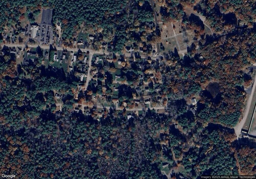
Map
Nearby Homes
- 8 Boyde's Crossing
- 8 Boyde's Crossing Unit 4
- 118 Main St
- 3 Elliot Mills Unit 2
- 6 Elliot Mills Unit 31
- 7 Malcolm St
- 45 Meetinghouse Rd Unit 45
- 12 Brookside Ln
- 10 Medway St
- 37 Thomas Mann Cir Unit 23
- 7 Keeney Pond Rd
- 27 Thomas Mann Cir Unit 18
- 2 Diamond St
- 51 Thomas Mann Unit 30
- 28 Thomas Mann Cir Unit Lot 38
- 16 Keeney Pond Rd
- 53 Thomas Mann Cir Unit 31
- 6 Trailside Way
- 533 Lincoln Rd
- 63 Thomas Mann Cir Unit 36