7 Oak Pointe Dr Coshocton, OH 43812
Estimated Value: $225,000 - $255,000
2
Beds
2
Baths
1,644
Sq Ft
$147/Sq Ft
Est. Value
About This Home
This home is located at 7 Oak Pointe Dr, Coshocton, OH 43812 and is currently estimated at $241,333, approximately $146 per square foot. 7 Oak Pointe Dr is a home located in Coshocton County with nearby schools including Coshocton High School, Coshocton Opportunity School, and Sacred Heart Elementary School.
Ownership History
Date
Name
Owned For
Owner Type
Purchase Details
Closed on
Nov 8, 2001
Sold by
Lehman Peter G
Bought by
Ross Thomas Dale
Current Estimated Value
Purchase Details
Closed on
Aug 19, 1997
Sold by
Guess Richard L
Bought by
Guess Richard L
Purchase Details
Closed on
Jul 8, 1997
Sold by
Guess Richard L
Bought by
Guess Richard L
Purchase Details
Closed on
Oct 15, 1993
Sold by
Schmidt Janet B
Bought by
Guess Richard L
Purchase Details
Closed on
Jan 3, 1992
Sold by
Brode Joyce W
Bought by
Schmidt Janet B
Purchase Details
Closed on
May 1, 1991
Create a Home Valuation Report for This Property
The Home Valuation Report is an in-depth analysis detailing your home's value as well as a comparison with similar homes in the area
Home Values in the Area
Average Home Value in this Area
Purchase History
| Date | Buyer | Sale Price | Title Company |
|---|---|---|---|
| Ross Thomas Dale | $130,000 | -- | |
| Guess Richard L | $174,000 | -- | |
| Guess Richard L | -- | -- | |
| Guess Richard L | $125,400 | -- | |
| Schmidt Janet B | -- | -- | |
| -- | $118,300 | -- |
Source: Public Records
Tax History
| Year | Tax Paid | Tax Assessment Tax Assessment Total Assessment is a certain percentage of the fair market value that is determined by local assessors to be the total taxable value of land and additions on the property. | Land | Improvement |
|---|---|---|---|---|
| 2024 | $3,008 | $72,900 | $11,950 | $60,950 |
| 2023 | $3,008 | $55,220 | $9,188 | $46,032 |
| 2022 | $2,625 | $55,220 | $9,190 | $46,030 |
| 2021 | $2,630 | $55,220 | $9,188 | $46,032 |
| 2020 | $2,704 | $54,954 | $10,308 | $44,646 |
| 2019 | $2,736 | $54,954 | $10,308 | $44,646 |
| 2018 | $2,638 | $54,954 | $10,308 | $44,646 |
| 2017 | $2,623 | $51,244 | $9,188 | $42,056 |
| 2016 | $2,516 | $51,244 | $9,188 | $42,056 |
| 2015 | $1,264 | $51,244 | $9,188 | $42,056 |
| 2014 | $2,457 | $51,360 | $9,188 | $42,172 |
Source: Public Records
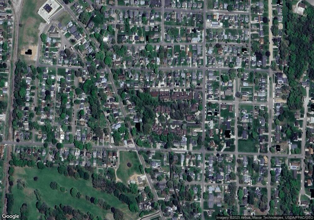
Map
Nearby Homes
- Lot 7 Country Club Dr
- Lot 2 Country Club Dr
- Lot 1 Country Club Dr
- Lot 5 Country Club Dr
- Lot 4 Country Club Dr
- Lot 3 Country Club Dr
- Lot 6 Country Club Dr
- Lot 8 Country Club Dr
- Lot# 7, S 12th St
- 597 S 12th St
- 828 Green Dr
- 608 Highland Blvd
- 885 Sheridan Rd
- 722 John St
- 1215 Denman Ave
- 355 S 10th St
- 808 Kenilworth Ave
- 1027 Adams St
- 333 S 9th St
- 510 S 8th St
Your Personal Tour Guide
Ask me questions while you tour the home.