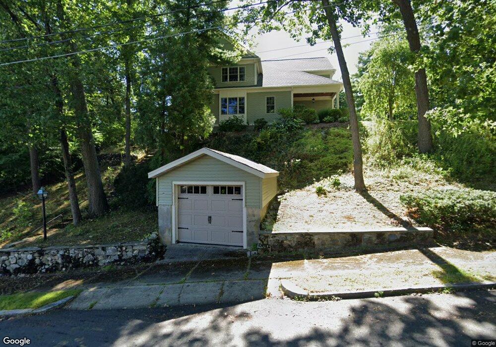
7 Oakledge Rd Wakefield, MA 01880
Greenwood NeighborhoodEstimated Value: $1,505,000 - $1,644,000
4
Beds
4
Baths
3,440
Sq Ft
$459/Sq Ft
Est. Value
About This Home
This home is located at 7 Oakledge Rd, Wakefield, MA 01880 and is currently estimated at $1,579,029, approximately $459 per square foot. 7 Oakledge Rd is a home located in Middlesex County with nearby schools including Wakefield Memorial High School and St Joseph School.
Ownership History
Date
Name
Owned For
Owner Type
Purchase Details
Closed on
Jul 26, 2011
Sold by
Martin Scott M and Thompson Jami L
Bought by
Hajjar 2Nd William K and Hajjar Mary E
Current Estimated Value
Home Financials for this Owner
Home Financials are based on the most recent Mortgage that was taken out on this home.
Original Mortgage
$523,750
Outstanding Balance
$361,283
Interest Rate
4.49%
Mortgage Type
Purchase Money Mortgage
Estimated Equity
$1,217,746
Purchase Details
Closed on
Feb 23, 2007
Sold by
Steele John B Est
Bought by
Thompson Jami L and Martin Scott M
Home Financials for this Owner
Home Financials are based on the most recent Mortgage that was taken out on this home.
Original Mortgage
$308,750
Interest Rate
9%
Mortgage Type
Purchase Money Mortgage
Create a Home Valuation Report for This Property
The Home Valuation Report is an in-depth analysis detailing your home's value as well as a comparison with similar homes in the area
Home Values in the Area
Average Home Value in this Area
Purchase History
| Date | Buyer | Sale Price | Title Company |
|---|---|---|---|
| Hajjar 2Nd William K | $722,500 | -- | |
| Thompson Jami L | $325,000 | -- |
Source: Public Records
Mortgage History
| Date | Status | Borrower | Loan Amount |
|---|---|---|---|
| Open | Hajjar 2Nd William K | $523,750 | |
| Previous Owner | Thompson Jami L | $308,750 |
Source: Public Records
Tax History
| Year | Tax Paid | Tax Assessment Tax Assessment Total Assessment is a certain percentage of the fair market value that is determined by local assessors to be the total taxable value of land and additions on the property. | Land | Improvement |
|---|---|---|---|---|
| 2025 | $16,462 | $1,450,400 | $406,800 | $1,043,600 |
| 2024 | $16,621 | $1,477,400 | $414,400 | $1,063,000 |
| 2023 | $15,813 | $1,348,100 | $377,700 | $970,400 |
| 2022 | $14,724 | $1,195,100 | $334,200 | $860,900 |
| 2021 | $12,875 | $1,011,400 | $312,300 | $699,100 |
| 2020 | $11,960 | $936,600 | $289,200 | $647,400 |
| 2019 | $11,533 | $898,900 | $277,600 | $621,300 |
| 2018 | $10,970 | $847,100 | $261,500 | $585,600 |
| 2017 | $10,462 | $802,900 | $247,800 | $555,100 |
| 2016 | $9,625 | $713,500 | $228,400 | $485,100 |
| 2015 | $9,436 | $700,000 | $224,000 | $476,000 |
| 2014 | $8,605 | $673,300 | $215,400 | $457,900 |
Source: Public Records
Map
Nearby Homes
Your Personal Tour Guide
Ask me questions while you tour the home.