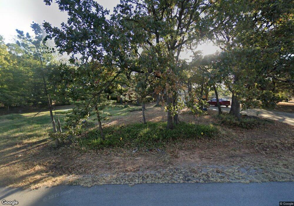
7 Oakridge Dr Shawnee, OK 74804
Estimated Value: $259,132 - $329,000
3
Beds
2
Baths
2,076
Sq Ft
$141/Sq Ft
Est. Value
About This Home
This home is located at 7 Oakridge Dr, Shawnee, OK 74804 and is currently estimated at $293,033, approximately $141 per square foot. 7 Oakridge Dr is a home located in Pottawatomie County.
Ownership History
Date
Name
Owned For
Owner Type
Purchase Details
Closed on
Jun 6, 2024
Sold by
Harrison Allen P
Bought by
Harrison Justin T and Harrison Kendall
Current Estimated Value
Home Financials for this Owner
Home Financials are based on the most recent Mortgage that was taken out on this home.
Original Mortgage
$213,069
Outstanding Balance
$210,427
Interest Rate
7.17%
Mortgage Type
FHA
Estimated Equity
$82,606
Purchase Details
Closed on
Jun 8, 2015
Sold by
Key Randall M and Key Kristina P
Bought by
Harrison Allen P and Harrison Dorothy J
Purchase Details
Closed on
Dec 5, 2012
Sold by
Revocabl Gary J and Revocabl Carla Jean Deyong 2009
Bought by
Key Randall M and Key Kristina P
Home Financials for this Owner
Home Financials are based on the most recent Mortgage that was taken out on this home.
Original Mortgage
$144,000
Interest Rate
3.42%
Mortgage Type
New Conventional
Purchase Details
Closed on
Aug 12, 2009
Sold by
Deyong Gary J and De Yong Carla Jean
Bought by
Deyong Gary J and Deyong Carla Jean
Create a Home Valuation Report for This Property
The Home Valuation Report is an in-depth analysis detailing your home's value as well as a comparison with similar homes in the area
Home Values in the Area
Average Home Value in this Area
Purchase History
| Date | Buyer | Sale Price | Title Company |
|---|---|---|---|
| Harrison Justin T | $217,000 | Stuart & Clover Title | |
| Harrison Allen P | $197,000 | Choice Title Insurance | |
| Key Randall M | $180,000 | Choice Title Insurance | |
| Deyong Gary J | -- | None Available |
Source: Public Records
Mortgage History
| Date | Status | Borrower | Loan Amount |
|---|---|---|---|
| Open | Harrison Justin T | $213,069 | |
| Previous Owner | Key Randall M | $144,000 |
Source: Public Records
Tax History Compared to Growth
Tax History
| Year | Tax Paid | Tax Assessment Tax Assessment Total Assessment is a certain percentage of the fair market value that is determined by local assessors to be the total taxable value of land and additions on the property. | Land | Improvement |
|---|---|---|---|---|
| 2024 | $1,791 | $20,440 | $1,800 | $18,640 |
| 2023 | $1,791 | $19,845 | $1,800 | $18,045 |
| 2022 | $1,757 | $19,845 | $1,800 | $18,045 |
| 2021 | $1,773 | $19,845 | $1,800 | $18,045 |
| 2020 | $1,826 | $20,437 | $1,800 | $18,637 |
| 2019 | $1,902 | $21,029 | $1,800 | $19,229 |
| 2018 | $1,942 | $21,326 | $1,800 | $19,526 |
| 2017 | $1,998 | $22,084 | $1,800 | $20,284 |
| 2016 | $2,168 | $23,640 | $1,800 | $21,840 |
| 2015 | $1,617 | $20,123 | $1,800 | $18,323 |
| 2014 | $1,689 | $20,966 | $1,800 | $19,166 |
Source: Public Records
Map
Nearby Homes
- 17 Granada Dr
- 44237 Whitetail Rd
- 44233 Whitetail Rd
- 17 Stone River Ranch Dr
- 5 Stone River Ranch Dr
- 11 Stone River Ranch Dr
- 9 Stone River Ranch Dr
- 19 Stone River Ranch Dr
- 12 Stone River Ranch Dr
- 6 Stone River Ranch Dr
- 15 Stone River Ranch Dr
- 4 Stone River Ranch Dr
- 10 Stone River Ranch Dr
- 20 Stone River Ranch Dr
- 14 Stone River Ranch Dr
- 18 Stone River Ranch Dr
- 13 Stone River Ranch Dr
- 73 Sonata Ln
- 12906 Waterside Way
- 2713 Old Towne Trail
