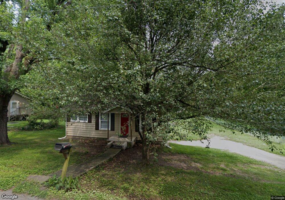
7 Opal Rd Rossville, GA 30741
Estimated Value: $113,000 - $135,000
2
Beds
1
Bath
832
Sq Ft
$151/Sq Ft
Est. Value
About This Home
This home is located at 7 Opal Rd, Rossville, GA 30741 and is currently estimated at $125,381, approximately $150 per square foot. 7 Opal Rd is a home located in Walker County with nearby schools including Stone Creek Elementary School, Rossville Middle School, and Ridgeland High School.
Ownership History
Date
Name
Owned For
Owner Type
Purchase Details
Closed on
Aug 16, 2012
Sold by
Armour David
Bought by
L D Partners Llc
Current Estimated Value
Home Financials for this Owner
Home Financials are based on the most recent Mortgage that was taken out on this home.
Original Mortgage
$50,259
Interest Rate
3.58%
Mortgage Type
New Conventional
Purchase Details
Closed on
Mar 21, 2011
Sold by
Davis Leland
Bought by
Armour David
Purchase Details
Closed on
Jul 22, 2010
Sold by
Armour David
Bought by
Davis Leland
Purchase Details
Closed on
Jun 16, 1995
Sold by
Wall Eloise
Bought by
Wall Eloise Life Estate
Purchase Details
Closed on
May 7, 1979
Sold by
Wall B W
Bought by
Wall Eloise
Purchase Details
Closed on
Jan 1, 1972
Bought by
Wall B W
Create a Home Valuation Report for This Property
The Home Valuation Report is an in-depth analysis detailing your home's value as well as a comparison with similar homes in the area
Home Values in the Area
Average Home Value in this Area
Purchase History
| Date | Buyer | Sale Price | Title Company |
|---|---|---|---|
| L D Partners Llc | -- | -- | |
| Armour David | -- | -- | |
| Davis Leland | -- | -- | |
| Wall Eloise Life Estate | -- | -- | |
| Wall Eloise | -- | -- | |
| Wall B W | -- | -- |
Source: Public Records
Mortgage History
| Date | Status | Borrower | Loan Amount |
|---|---|---|---|
| Closed | L D Partners Llc | $50,259 |
Source: Public Records
Tax History Compared to Growth
Tax History
| Year | Tax Paid | Tax Assessment Tax Assessment Total Assessment is a certain percentage of the fair market value that is determined by local assessors to be the total taxable value of land and additions on the property. | Land | Improvement |
|---|---|---|---|---|
| 2024 | $805 | $41,581 | $5,439 | $36,142 |
| 2023 | $913 | $38,057 | $2,735 | $35,322 |
| 2022 | $850 | $32,724 | $2,735 | $29,989 |
| 2021 | $586 | $19,297 | $1,368 | $17,929 |
| 2020 | $538 | $16,789 | $1,368 | $15,421 |
| 2019 | $547 | $16,789 | $1,368 | $15,421 |
| 2018 | $444 | $16,789 | $1,368 | $15,421 |
| 2017 | $541 | $16,789 | $1,368 | $15,421 |
| 2016 | $541 | $16,789 | $1,368 | $15,421 |
| 2015 | $491 | $13,870 | $1,668 | $12,202 |
| 2014 | $415 | $13,870 | $1,668 | $12,202 |
| 2013 | $444 | $13,870 | $1,668 | $12,202 |
Source: Public Records
Map
Nearby Homes
- 13 Circle Dr
- 323 N Jenkins Rd
- 353 N Jenkins Rd
- 51 Circle Dr
- 57 Circle Dr
- 2 & 4 Newman Dr
- 2 Newman Dr
- 4 Newman Dr
- 9 Longstreet Rd
- 24 Newman Dr
- 13 Travis Rd
- 408 N Jenkins Rd
- 25 Carolyn Ln
- 321 Jewell Ln
- 7 Catherine St
- 3 Fisher Rd
- 7 Broadway St
- 145 Mission Ridge Rd
- 0 Sunset Cir Unit 1517664
- 0 Sunset Cir Unit 1524868