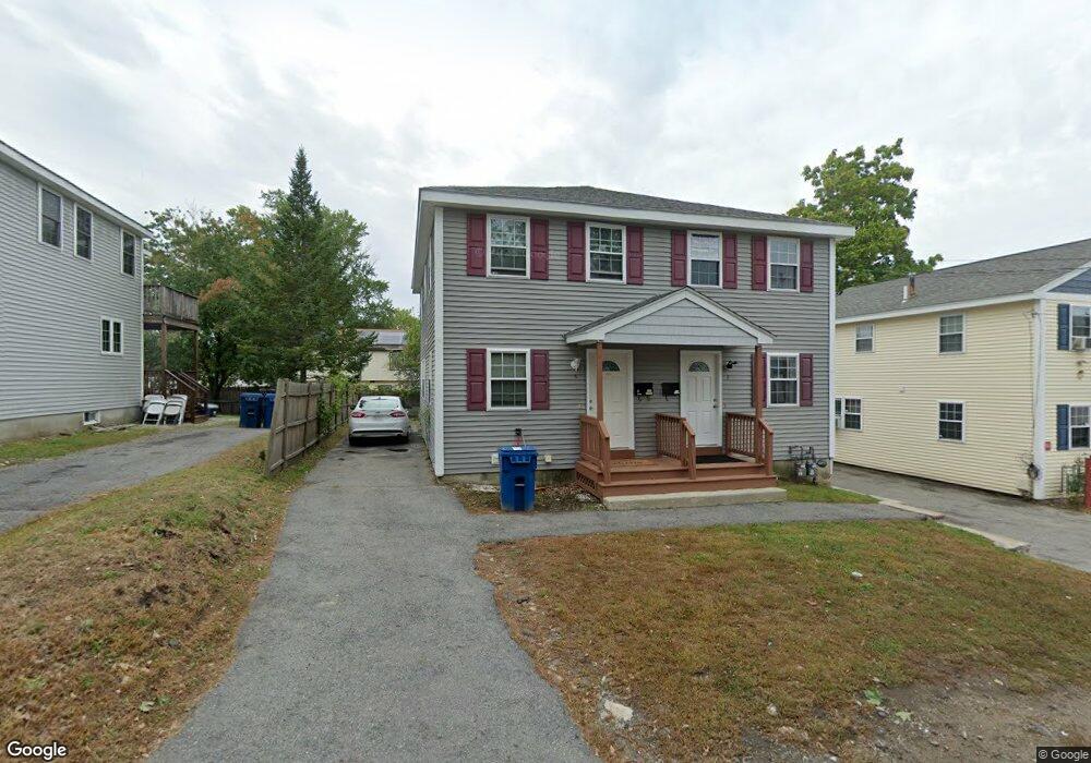
7 Packard St Lawrence, MA 01843
South West NeighborhoodEstimated Value: $322,000 - $415,000
2
Beds
2
Baths
1,050
Sq Ft
$357/Sq Ft
Est. Value
About This Home
This home is located at 7 Packard St, Lawrence, MA 01843 and is currently estimated at $374,638, approximately $356 per square foot. 7 Packard St is a home located in Essex County with nearby schools including John Breen School, Emily G. Wetherbee School (K-8), and School For Exceptional Studies.
Ownership History
Date
Name
Owned For
Owner Type
Purchase Details
Closed on
Dec 15, 1995
Sold by
First Amherst Fin Grp
Bought by
Sunnybrook Dev Inc
Current Estimated Value
Home Financials for this Owner
Home Financials are based on the most recent Mortgage that was taken out on this home.
Original Mortgage
$80,000
Outstanding Balance
$1,646
Interest Rate
7.43%
Mortgage Type
Purchase Money Mortgage
Estimated Equity
$372,992
Purchase Details
Closed on
Jun 30, 1995
Sold by
Carbone Vincent A
Bought by
First Amherst Fincl
Create a Home Valuation Report for This Property
The Home Valuation Report is an in-depth analysis detailing your home's value as well as a comparison with similar homes in the area
Home Values in the Area
Average Home Value in this Area
Purchase History
| Date | Buyer | Sale Price | Title Company |
|---|---|---|---|
| Sunnybrook Dev Inc | $106,080 | -- | |
| First Amherst Fincl | $72,701 | -- | |
| First Amherst Fincl | $72,701 | -- |
Source: Public Records
Mortgage History
| Date | Status | Borrower | Loan Amount |
|---|---|---|---|
| Open | First Amherst Fincl | $80,000 | |
| Open | First Amherst Fincl | $1,697,000 |
Source: Public Records
Tax History
| Year | Tax Paid | Tax Assessment Tax Assessment Total Assessment is a certain percentage of the fair market value that is determined by local assessors to be the total taxable value of land and additions on the property. | Land | Improvement |
|---|---|---|---|---|
| 2025 | $2,746 | $312,100 | $0 | $312,100 |
| 2024 | $2,465 | $266,500 | $0 | $266,500 |
| 2023 | $2,406 | $236,800 | $0 | $236,800 |
| 2022 | $2,011 | $175,800 | $0 | $175,800 |
| 2021 | $1,917 | $156,200 | $0 | $156,200 |
| 2020 | $1,821 | $146,500 | $0 | $146,500 |
| 2019 | $1,837 | $134,300 | $0 | $134,300 |
| 2018 | $1,721 | $120,200 | $0 | $120,200 |
| 2017 | $1,671 | $108,900 | $0 | $108,900 |
| 2016 | $1,644 | $106,000 | $0 | $106,000 |
| 2015 | $1,603 | $106,000 | $0 | $106,000 |
Source: Public Records
Map
Nearby Homes
- 37 Tewksbury St Unit 39
- 54 Amherst St
- 91-93 Newton St
- 312 Water St Unit 4
- 49 Bowdoin St Unit 51
- 95 Hancock St
- 42 Beresford St
- 12-12A Durham St
- 35 Adams St
- 40 Chester St
- 11 W Hawley St
- 19 Oregon Ave
- 87-87A Brookfield St
- 82 S Broadway
- 45 Bodwell St
- 82 Water St
- 24 Inman St Unit 6
- 24 Inman St Unit 4
- 341 S Broadway- Parcel II
- 1008 Essex St Unit 1010
- 5 Packard St
- 5 Packard St Unit 5
- 7 Packard St Unit 11
- 7 Packard St Unit 7
- 3 Packard St
- 9 Packard St
- 11 Packard St
- 15 Packard St
- 64 Tewksbury St Unit 66
- 64-66 Tewksbury St
- 54 Tewksbury St Unit 56
- 54 Tewksbury St Unit 1
- 103 Coolidge St Unit 105
- 4 Packard St
- 16A Packard St Unit 16A
- 16 Packard St Unit A
- 16 Packard St
- 16 Packard St Unit 16
- 16 Packard St
- 16 Packard St