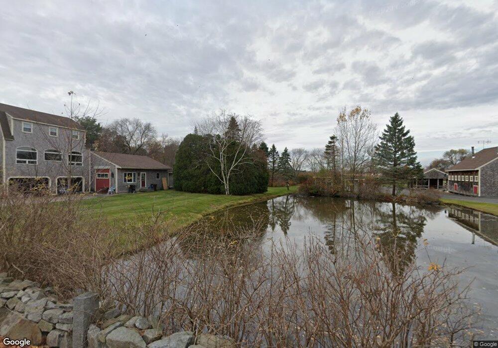
7 Pauls Way Newbury, MA 01951
Estimated Value: $1,455,215 - $1,716,000
5
Beds
3
Baths
4,256
Sq Ft
$380/Sq Ft
Est. Value
About This Home
This home is located at 7 Pauls Way, Newbury, MA 01951 and is currently estimated at $1,616,804, approximately $379 per square foot. 7 Pauls Way is a home located in Essex County with nearby schools including Triton Regional High School, River Valley Charter School, and Immaculate Conception School.
Ownership History
Date
Name
Owned For
Owner Type
Purchase Details
Closed on
Sep 5, 2023
Sold by
Robitaille Louise M and Robitaille William G
Bought by
Caswell Development Llc
Current Estimated Value
Home Financials for this Owner
Home Financials are based on the most recent Mortgage that was taken out on this home.
Original Mortgage
$1,100,000
Outstanding Balance
$1,073,857
Interest Rate
6.81%
Mortgage Type
Commercial
Estimated Equity
$542,948
Purchase Details
Closed on
Mar 11, 1992
Sold by
Bashaw Charles J
Bought by
Robitaille William G and Robitaille Louise
Purchase Details
Closed on
Feb 6, 1963
Bought by
Robitaille William G and Robitaille Louise M
Create a Home Valuation Report for This Property
The Home Valuation Report is an in-depth analysis detailing your home's value as well as a comparison with similar homes in the area
Home Values in the Area
Average Home Value in this Area
Purchase History
| Date | Buyer | Sale Price | Title Company |
|---|---|---|---|
| Caswell Development Llc | $1,400,000 | None Available | |
| Caswell Development Llc | $1,400,000 | None Available | |
| Caswell Development Llc | $1,400,000 | None Available | |
| Robitaille William G | $11,000 | -- | |
| Robitaille William G | $11,000 | -- | |
| Robitaille William G | -- | -- |
Source: Public Records
Mortgage History
| Date | Status | Borrower | Loan Amount |
|---|---|---|---|
| Open | Caswell Development Llc | $1,100,000 | |
| Closed | Caswell Development Llc | $1,100,000 | |
| Previous Owner | Robitaille William G | $100,000 | |
| Previous Owner | Robitaille William G | $225,000 |
Source: Public Records
Tax History Compared to Growth
Tax History
| Year | Tax Paid | Tax Assessment Tax Assessment Total Assessment is a certain percentage of the fair market value that is determined by local assessors to be the total taxable value of land and additions on the property. | Land | Improvement |
|---|---|---|---|---|
| 2025 | $9,248 | $1,241,300 | $417,000 | $824,300 |
| 2024 | $7,133 | $928,800 | $369,900 | $558,900 |
| 2023 | $7,267 | $838,200 | $326,300 | $511,900 |
| 2022 | $7,121 | $731,900 | $282,800 | $449,100 |
| 2021 | $7,165 | $672,100 | $239,200 | $432,900 |
| 2020 | $7,280 | $662,400 | $239,200 | $423,200 |
| 2019 | $6,952 | $643,100 | $239,200 | $403,900 |
| 2018 | $6,658 | $610,800 | $232,700 | $378,100 |
| 2017 | $6,275 | $591,400 | $232,700 | $358,700 |
| 2016 | $6,424 | $563,500 | $217,400 | $346,100 |
| 2015 | $6,164 | $535,100 | $217,400 | $317,700 |
| 2014 | $5,791 | $511,600 | $206,500 | $305,100 |
Source: Public Records
Map
Nearby Homes
- 4 Hanover St
- 1 Littles Ln
- 26 Beacon Ave
- 1 Lancaster Rd
- 113 Prospect St Unit B
- 58 Lime St Unit 5
- 17 Madison St
- 57 Lime St Unit 1
- 95 High St Unit 4
- 95 High St Unit 1
- 33 Union St
- 4 Goodwin Ave
- 105 State St Unit 301
- 105 State St Unit 101
- 105 State St Unit 201
- 100 High Rd
- 11 Orange St Unit 2
- 10 Beck St
- 1 Hill St
- 1 Hill St Unit 1