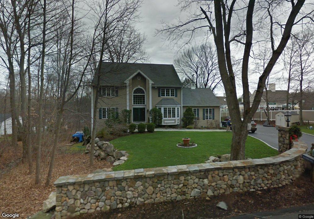
7 Pheasant Ln Stamford, CT 06903
North Stamford NeighborhoodEstimated Value: $1,367,000 - $1,501,000
5
Beds
4
Baths
3,598
Sq Ft
$401/Sq Ft
Est. Value
About This Home
This home is located at 7 Pheasant Ln, Stamford, CT 06903 and is currently estimated at $1,442,620, approximately $400 per square foot. 7 Pheasant Ln is a home located in Fairfield County with nearby schools including Davenport Ridge Elementary School, Rippowam Middle School, and Stamford High School.
Ownership History
Date
Name
Owned For
Owner Type
Purchase Details
Closed on
Mar 6, 1996
Sold by
Scheve Kenneth E
Bought by
Olsen Roger F and Olsen Astrid
Current Estimated Value
Purchase Details
Closed on
Mar 14, 1994
Sold by
Webski Harry
Bought by
Scheve Kenneth E and Scheve Barbara
Create a Home Valuation Report for This Property
The Home Valuation Report is an in-depth analysis detailing your home's value as well as a comparison with similar homes in the area
Home Values in the Area
Average Home Value in this Area
Purchase History
| Date | Buyer | Sale Price | Title Company |
|---|---|---|---|
| Olsen Roger F | $482,000 | -- | |
| Scheve Kenneth E | $549,000 | -- |
Source: Public Records
Mortgage History
| Date | Status | Borrower | Loan Amount |
|---|---|---|---|
| Open | Scheve Kenneth E | $488,000 | |
| Closed | Scheve Kenneth E | $417,000 | |
| Closed | Scheve Kenneth E | $428,019 |
Source: Public Records
Tax History Compared to Growth
Tax History
| Year | Tax Paid | Tax Assessment Tax Assessment Total Assessment is a certain percentage of the fair market value that is determined by local assessors to be the total taxable value of land and additions on the property. | Land | Improvement |
|---|---|---|---|---|
| 2025 | $18,220 | $782,980 | $286,810 | $496,170 |
| 2024 | $17,821 | $782,980 | $286,810 | $496,170 |
| 2023 | $19,152 | $782,980 | $286,810 | $496,170 |
| 2022 | $15,607 | $592,740 | $216,880 | $375,860 |
| 2021 | $15,393 | $592,740 | $216,880 | $375,860 |
| 2020 | $15,014 | $592,740 | $216,880 | $375,860 |
| 2019 | $15,014 | $592,740 | $216,880 | $375,860 |
| 2018 | $14,492 | $592,740 | $216,880 | $375,860 |
| 2017 | $14,147 | $552,850 | $198,800 | $354,050 |
| 2016 | $13,722 | $552,850 | $198,800 | $354,050 |
| 2015 | $13,346 | $552,850 | $198,800 | $354,050 |
| 2014 | $12,887 | $552,850 | $198,800 | $354,050 |
Source: Public Records
Map
Nearby Homes
- 88 Rockridge Ln
- 160 Wire Mill Rd
- 400 Wire Mill Rd
- 38 Lancaster Place
- 368 Den Rd
- 506 Roxbury Rd
- 56 Bradley Place
- 34 Bradley Place
- 180 Riverbank Rd
- 210 Red Fox Rd
- 12 Old Mill Ln
- 7 the Reserve at Sterling Ridge
- 65 Malibu Rd
- 27 Emma Rd
- 107 Deepwood Rd
- 14 Barmore Dr
- 21 Nichols Ave
- 164 Janes Ln
- 0 June Rd Unit LOT 1 24118127
- 60 Redmont Rd
- 23 Pheasant Ln
- 8 Pheasant Ln
- 22 Pheasant Ln
- 61 Pheasant Ln
- 1086 Long Ridge Rd
- 1086 Long Ridge Rd Unit Right
- 1086 Long Ridge Rd Unit Left
- 1086 Long Ridge Rd Unit 1
- 1086 Long Ridge Rd Unit Floor 1
- 1086 Long Ridge Rd Unit 2
- 3 Webbs Hill Rd
- 30 Pheasant Ln
- 64 Webbs Hill Rd
- 36 Pheasant Ln
- 56 Pheasant Ln
- 1034 Long Ridge Rd
- 83 Webbs Hill Rd
- 62 Pheasant Ln
- 71 Briarwood Ln