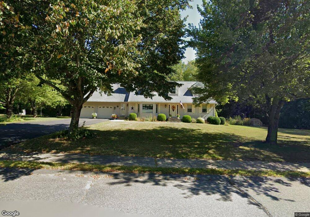
7 Pheasant Ln Templeton, MA 01468
Estimated Value: $530,681 - $581,000
4
Beds
2
Baths
2,664
Sq Ft
$210/Sq Ft
Est. Value
About This Home
This home is located at 7 Pheasant Ln, Templeton, MA 01468 and is currently estimated at $559,170, approximately $209 per square foot. 7 Pheasant Ln is a home located in Worcester County with nearby schools including Narragansett Regional High School and Holy Family Academy.
Ownership History
Date
Name
Owned For
Owner Type
Purchase Details
Closed on
Jun 20, 2007
Sold by
Burgraff Michael H and Dimock Stephanie J
Bought by
Bartus John F and Bartus Marilou
Current Estimated Value
Home Financials for this Owner
Home Financials are based on the most recent Mortgage that was taken out on this home.
Original Mortgage
$216,000
Interest Rate
6.14%
Mortgage Type
Purchase Money Mortgage
Purchase Details
Closed on
Sep 27, 1996
Sold by
Scipione Donald J and Scipione Pamela
Bought by
Burgraff Michael and Dimock Stephanie
Home Financials for this Owner
Home Financials are based on the most recent Mortgage that was taken out on this home.
Original Mortgage
$143,661
Interest Rate
7.83%
Mortgage Type
Purchase Money Mortgage
Purchase Details
Closed on
Jun 30, 1995
Sold by
Ormsby Howard S
Bought by
Scipione Donald J and Scipione Pamela
Create a Home Valuation Report for This Property
The Home Valuation Report is an in-depth analysis detailing your home's value as well as a comparison with similar homes in the area
Home Values in the Area
Average Home Value in this Area
Purchase History
| Date | Buyer | Sale Price | Title Company |
|---|---|---|---|
| Bartus John F | $270,000 | -- | |
| Burgraff Michael | $147,900 | -- | |
| Scipione Donald J | $139,900 | -- |
Source: Public Records
Mortgage History
| Date | Status | Borrower | Loan Amount |
|---|---|---|---|
| Open | Scipione Donald J | $251,187 | |
| Closed | Bartus John F | $216,000 | |
| Previous Owner | Scipione Donald J | $128,325 | |
| Previous Owner | Scipione Donald J | $143,661 |
Source: Public Records
Tax History Compared to Growth
Tax History
| Year | Tax Paid | Tax Assessment Tax Assessment Total Assessment is a certain percentage of the fair market value that is determined by local assessors to be the total taxable value of land and additions on the property. | Land | Improvement |
|---|---|---|---|---|
| 2025 | $6,079 | $501,600 | $70,600 | $431,000 |
| 2024 | $6,141 | $487,400 | $62,200 | $425,200 |
| 2023 | $6,297 | $487,400 | $62,200 | $425,200 |
| 2022 | $5,965 | $391,400 | $44,400 | $347,000 |
| 2021 | $6,012 | $373,200 | $44,400 | $328,800 |
| 2020 | $5,667 | $336,700 | $44,400 | $292,300 |
| 2018 | $4,906 | $293,400 | $40,200 | $253,200 |
| 2017 | $4,778 | $296,400 | $40,200 | $256,200 |
| 2016 | $4,419 | $268,300 | $40,200 | $228,100 |
| 2015 | $4,360 | $262,000 | $42,300 | $219,700 |
| 2014 | $4,029 | $248,100 | $42,300 | $205,800 |
Source: Public Records
Map
Nearby Homes
- 203 Brooks Rd
- 34 Albert Dr
- 131 Depot Rd
- 39 Turner Ln
- 0 Mill St Unit 5033403
- 0 Mill St Unit 5007531
- 0 Mill St Unit 4996202
- 0 Mill St Unit 21522962
- 0 Hamlet Mill Rd Unit 72816399
- 163 Bridge St
- 54 Orchard Ln
- 133 Patriots Rd
- 0 Gardner Rd Unit Applewood
- 0 Gardner Rd Unit Willow
- 14 Baldwinville Rd
- 3 Lots Mill St
- 12 Lots on Mill St
- 12 Lots for Sale On Mill St
- 18 S Main St
- 0 12 Lots for Sale On Mill St Unit multiple, see brochu