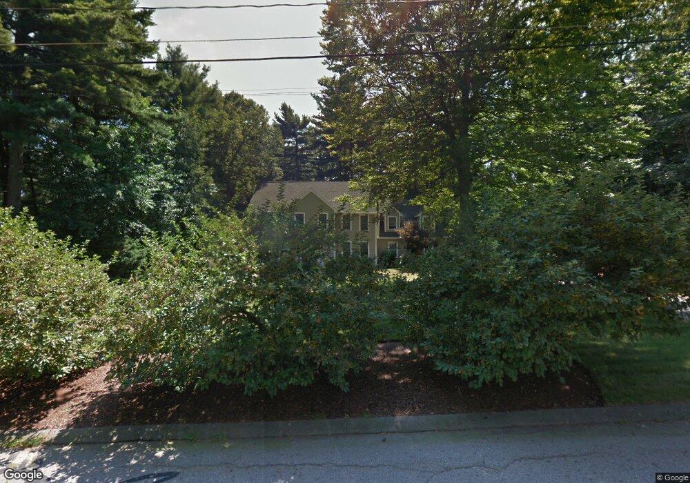
7 Pheasanthill Rd Norfolk, MA 02056
Estimated Value: $875,454 - $1,010,000
4
Beds
3
Baths
2,725
Sq Ft
$350/Sq Ft
Est. Value
About This Home
This home is located at 7 Pheasanthill Rd, Norfolk, MA 02056 and is currently estimated at $954,864, approximately $350 per square foot. 7 Pheasanthill Rd is a home located in Norfolk County with nearby schools including H. Olive Day School and Freeman-Kennedy School.
Ownership History
Date
Name
Owned For
Owner Type
Purchase Details
Closed on
Apr 28, 2008
Sold by
Kent Joan and Kent Richard M
Bought by
Avery Deborah A and Avery Patrick W
Current Estimated Value
Home Financials for this Owner
Home Financials are based on the most recent Mortgage that was taken out on this home.
Original Mortgage
$417,000
Outstanding Balance
$268,743
Interest Rate
6.22%
Mortgage Type
Purchase Money Mortgage
Estimated Equity
$686,121
Purchase Details
Closed on
Apr 2, 1987
Sold by
W & R Realty Corp
Bought by
Kent Richard M
Create a Home Valuation Report for This Property
The Home Valuation Report is an in-depth analysis detailing your home's value as well as a comparison with similar homes in the area
Home Values in the Area
Average Home Value in this Area
Purchase History
| Date | Buyer | Sale Price | Title Company |
|---|---|---|---|
| Avery Deborah A | $546,000 | -- | |
| Avery Deborah A | $546,000 | -- | |
| Kent Richard M | $334,265 | -- |
Source: Public Records
Mortgage History
| Date | Status | Borrower | Loan Amount |
|---|---|---|---|
| Open | Kent Richard M | $42,000 | |
| Open | Avery Deborah A | $417,000 | |
| Closed | Kent Richard M | $417,000 |
Source: Public Records
Tax History
| Year | Tax Paid | Tax Assessment Tax Assessment Total Assessment is a certain percentage of the fair market value that is determined by local assessors to be the total taxable value of land and additions on the property. | Land | Improvement |
|---|---|---|---|---|
| 2025 | $12,671 | $793,400 | $190,500 | $602,900 |
| 2024 | $11,871 | $762,400 | $191,000 | $571,400 |
| 2023 | $11,375 | $693,200 | $191,000 | $502,200 |
| 2022 | $10,574 | $581,000 | $179,500 | $401,500 |
| 2021 | $10,515 | $584,500 | $185,400 | $399,100 |
| 2020 | $10,854 | $582,300 | $186,300 | $396,000 |
| 2019 | $10,434 | $570,500 | $186,300 | $384,200 |
| 2018 | $10,124 | $543,700 | $195,000 | $348,700 |
| 2017 | $9,986 | $548,100 | $195,000 | $353,100 |
| 2016 | $9,814 | $542,800 | $200,300 | $342,500 |
| 2015 | $9,490 | $537,400 | $190,700 | $346,700 |
| 2014 | $8,983 | $515,400 | $190,700 | $324,700 |
Source: Public Records
Map
Nearby Homes
- 23 Fredrickson Rd
- 8 Ridgefield Rd
- 7 Keeney Pond Rd
- 16 Keeney Pond Rd
- 45 Meetinghouse Rd Unit 45
- 0 W Birch Rd
- 246 Forest Grove Ave
- 45 Joshua Rd
- 0 Toils End Rd
- 292 Main St
- 3 Elliot Mills Unit 2
- 6 Elliot Mills Unit 31
- 19 Waites Crossing
- 13 Waites Crossing
- 50 Reed Fulton Ave Unit Lot 61
- 30 Weber Farm Rd Unit 30
- 11 Weber Farm Rd Unit 11
- 14 Waites Crossing
- 8 Weber Farm Rd Unit 8
- 11 Sharon Ave
- 9 Pheasanthill Rd
- 5 Pheasanthill Rd
- 8 Quail Run Rd
- 5 Ridge Rd
- 10 Quail Run Rd
- 6 Quail Run Rd
- 8 Pheasanthill Rd
- 6 Ridge Rd
- 11 Pheasanthill Rd
- 12 Quail Run Rd
- 7 Ridge Rd
- 4 Quail Run Rd
- 2 Pheasanthill Rd
- 10 Pheasanthill Rd
- 9 Quail Run Rd
- 13 Pheasanthill Rd
- 7 Quail Run Rd
- 8 Ridge Rd
- 12 Pheasanthill Rd
- 14 Quail Run Rd
Your Personal Tour Guide
Ask me questions while you tour the home.