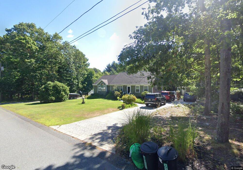
7 Pierce Way E East Freetown, MA 02717
Estimated Value: $867,923
3
Beds
3
Baths
2,720
Sq Ft
$319/Sq Ft
Est. Value
About This Home
This home is located at 7 Pierce Way E, East Freetown, MA 02717 and is currently estimated at $867,923, approximately $319 per square foot. 7 Pierce Way E is a home located in Bristol County with nearby schools including George R Austin Intermediate School, Freetown-Lakeville Middle School, and Apponequet Regional High School.
Ownership History
Date
Name
Owned For
Owner Type
Purchase Details
Closed on
Mar 30, 2011
Sold by
Mcgovern Jeffrey A and Mcgovern Donna R
Bought by
Santos Anabela A
Current Estimated Value
Home Financials for this Owner
Home Financials are based on the most recent Mortgage that was taken out on this home.
Original Mortgage
$235,000
Outstanding Balance
$163,936
Interest Rate
5.04%
Mortgage Type
Purchase Money Mortgage
Estimated Equity
$703,987
Create a Home Valuation Report for This Property
The Home Valuation Report is an in-depth analysis detailing your home's value as well as a comparison with similar homes in the area
Home Values in the Area
Average Home Value in this Area
Purchase History
| Date | Buyer | Sale Price | Title Company |
|---|---|---|---|
| Santos Anabela A | $355,000 | -- |
Source: Public Records
Mortgage History
| Date | Status | Borrower | Loan Amount |
|---|---|---|---|
| Open | Santos Anabela A | $235,000 | |
| Previous Owner | Santos Anabela A | $299,000 |
Source: Public Records
Tax History Compared to Growth
Tax History
| Year | Tax Paid | Tax Assessment Tax Assessment Total Assessment is a certain percentage of the fair market value that is determined by local assessors to be the total taxable value of land and additions on the property. | Land | Improvement |
|---|---|---|---|---|
| 2025 | $0 | $568,600 | $188,300 | $380,300 |
| 2024 | $5,941 | $541,400 | $177,600 | $363,800 |
| 2023 | $0 | $513,400 | $160,000 | $353,400 |
| 2022 | $5,941 | $492,600 | $135,500 | $357,100 |
| 2021 | $5,695 | $448,400 | $123,200 | $325,200 |
| 2020 | $5,733 | $440,300 | $118,500 | $321,800 |
| 2019 | $5,472 | $416,100 | $118,200 | $297,900 |
| 2018 | $5,167 | $388,200 | $118,200 | $270,000 |
| 2017 | $5,048 | $379,000 | $118,200 | $260,800 |
| 2016 | $4,818 | $368,100 | $114,800 | $253,300 |
| 2015 | $4,618 | $358,000 | $109,600 | $248,400 |
| 2014 | $4,373 | $346,800 | $112,500 | $234,300 |
Source: Public Records
Map
Nearby Homes
- 144 Chace Rd
- 150 Quanapoag Rd
- Lot 2/3 Quanapoag Rd
- 195 Slab Bridge Rd
- 0 Costa Dr
- 599 Quanapoag Rd
- 1475 Braley Rd Unit 17
- 264 Collins Corner Rd
- 13 Luscomb Ln
- 16 Swallow St
- 4597 Acushnet Ave
- 1069 Cherokee St
- 24 Bells Brook Rd
- 111 High St
- 353 Upland St
- 64 Blaze Rd
- 319 Northwest St
- 300 High Hill Rd
- 210 Heritage Dr
- 34 Poplar Rd