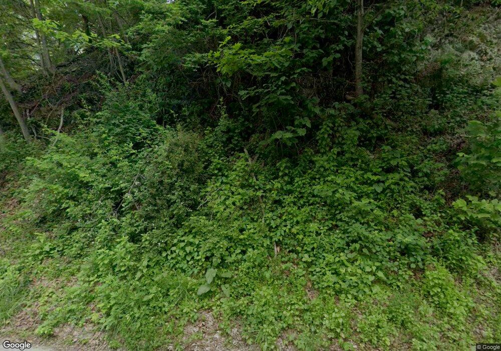
7 Plotts Rd Newton, NJ 07860
Estimated Value: $537,000 - $612,000
--
Bed
--
Bath
3,028
Sq Ft
$188/Sq Ft
Est. Value
About This Home
This home is located at 7 Plotts Rd, Newton, NJ 07860 and is currently estimated at $569,923, approximately $188 per square foot. 7 Plotts Rd is a home located in Sussex County with nearby schools including Marian E. McKeown School and Kittatinny Regional High School.
Create a Home Valuation Report for This Property
The Home Valuation Report is an in-depth analysis detailing your home's value as well as a comparison with similar homes in the area
Home Values in the Area
Average Home Value in this Area
Tax History Compared to Growth
Tax History
| Year | Tax Paid | Tax Assessment Tax Assessment Total Assessment is a certain percentage of the fair market value that is determined by local assessors to be the total taxable value of land and additions on the property. | Land | Improvement |
|---|---|---|---|---|
| 2025 | $10,321 | $309,200 | $82,400 | $226,800 |
| 2024 | $9,774 | $309,200 | $82,400 | $226,800 |
| 2023 | $9,774 | $309,200 | $82,400 | $226,800 |
| 2022 | $9,536 | $309,200 | $82,400 | $226,800 |
| 2021 | $9,267 | $309,200 | $82,400 | $226,800 |
| 2020 | $9,233 | $309,200 | $82,400 | $226,800 |
| 2019 | $9,149 | $309,200 | $82,400 | $226,800 |
| 2018 | $8,973 | $309,200 | $82,400 | $226,800 |
| 2017 | $8,791 | $309,200 | $82,400 | $226,800 |
| 2016 | $8,534 | $309,200 | $82,400 | $226,800 |
| 2015 | $8,005 | $309,200 | $82,400 | $226,800 |
| 2014 | $7,912 | $309,200 | $82,400 | $226,800 |
Source: Public Records
Map
Nearby Homes
- 30 Old Swartswood Rd
- 37 Park Ave
- 15 Cherry St
- 7 Cherry St
- 76 County Road 521
- 86 County Road 521
- 13 Summit Ave
- 20 Anderson Hill Rd
- 37 Foster St
- 32 Trinity St
- 2 - 4 Garrett Dr
- 3 Townsend St
- 52 Trinity St
- 44 Spar Row CI S044
- 5 Jefferson St
- 17 Union Place
- 2 Sparrow CI
- 20 Union Place
- 4 Eagle Dr Unit 2
- 252 Spring St
