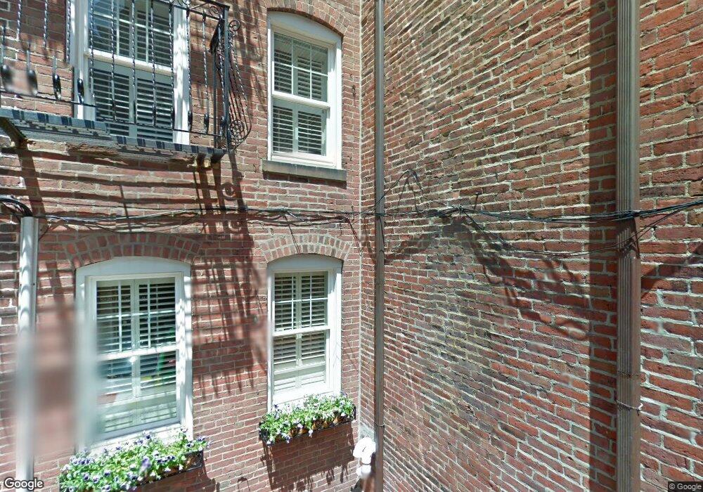
7 Powers Ct Boston, MA 02109
North End NeighborhoodEstimated Value: $1,809,742 - $2,497,000
3
Beds
3
Baths
1,995
Sq Ft
$1,065/Sq Ft
Est. Value
About This Home
This home is located at 7 Powers Ct, Boston, MA 02109 and is currently estimated at $2,125,436, approximately $1,065 per square foot. 7 Powers Ct is a home located in Suffolk County with nearby schools including Blackstone Elementary, Charles H. Taylor Elementary School, and Beethoven Elementary School.
Create a Home Valuation Report for This Property
The Home Valuation Report is an in-depth analysis detailing your home's value as well as a comparison with similar homes in the area
Home Values in the Area
Average Home Value in this Area
Map
Nearby Homes
- 350 North St Unit 403
- 350 North St Unit 404
- 376 Commercial St Unit 2B
- 34 Clark St Unit 5
- 357 Commercial St Unit 8
- 27 Clark St Unit 6
- 406-418 Commercial St Unit 1A
- 20 Tileston St Unit 1A
- 26 Unity St Unit 1
- 12 N Bennet St
- 14 N Bennet St Unit 1
- 14 N Bennet St Unit 2
- 5 Garden Court St Unit 3
- 15 Union Wharf Unit 15
- 2 Battery Wharf Unit 2302
- 2 Battery Wharf Unit 2304
- 2 Battery Wharf Unit 2508
- 290 North St Unit 2
- 38A Charter St Unit 7
- 50 Battery St Unit 401/501
- 20 Hanover Ave
- 20 Hanover Ave Unit 4
- 20 Hanover Ave Unit 1
- 20 Hanover Ave Unit 2
- 20 Hanover Ave Unit top floor
- 20 Hanover Ave
- 20 Hanover Ave Unit 3
- 22 Hanover Ave Unit 22A
- 22 Hanover Ave Unit Hanover St 8
- 22 Hanover Ave Unit 3
- 22 Hanover Ave
- 16 Hanover Ave Unit 3
- 4 Powers Ct
- 4 Powers Ct Unit 1
- 4 Powers Ct Unit C
- 4 Powers Ct
- 4 Powers Ct Unit 2
- 4 Powers Ct Unit B
- 9 Powers Ct
- 5 Powers Ct
Your Personal Tour Guide
Ask me questions while you tour the home.