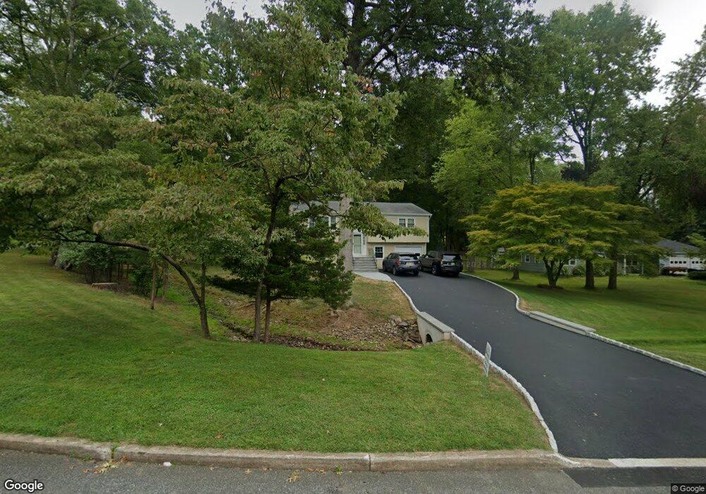
7 Prescott Cir Lebanon, NJ 08833
Estimated Value: $499,214 - $579,000
--
Bed
--
Bath
1,908
Sq Ft
$292/Sq Ft
Est. Value
About This Home
This home is located at 7 Prescott Cir, Lebanon, NJ 08833 and is currently estimated at $556,304, approximately $291 per square foot. 7 Prescott Cir is a home located in Hunterdon County with nearby schools including Patrick McGaheran School, Spruce Run School, and Round Valley School.
Ownership History
Date
Name
Owned For
Owner Type
Purchase Details
Closed on
Oct 4, 2000
Sold by
Williams Denis M
Bought by
Cundy Stephen M and Cundy Linda I
Current Estimated Value
Home Financials for this Owner
Home Financials are based on the most recent Mortgage that was taken out on this home.
Original Mortgage
$95,000
Outstanding Balance
$34,744
Interest Rate
7.96%
Estimated Equity
$521,560
Purchase Details
Closed on
Jul 6, 1998
Sold by
Anderson David P
Bought by
Williams Dennis M and Williams Jill
Create a Home Valuation Report for This Property
The Home Valuation Report is an in-depth analysis detailing your home's value as well as a comparison with similar homes in the area
Home Values in the Area
Average Home Value in this Area
Purchase History
| Date | Buyer | Sale Price | Title Company |
|---|---|---|---|
| Cundy Stephen M | $245,000 | -- | |
| Williams Dennis M | $210,000 | -- |
Source: Public Records
Mortgage History
| Date | Status | Borrower | Loan Amount |
|---|---|---|---|
| Open | Cundy Stephen M | $95,000 |
Source: Public Records
Tax History Compared to Growth
Tax History
| Year | Tax Paid | Tax Assessment Tax Assessment Total Assessment is a certain percentage of the fair market value that is determined by local assessors to be the total taxable value of land and additions on the property. | Land | Improvement |
|---|---|---|---|---|
| 2025 | $8,886 | $298,100 | $130,800 | $167,300 |
| 2024 | $8,612 | $298,100 | $130,800 | $167,300 |
| 2023 | $8,612 | $298,100 | $130,800 | $167,300 |
| 2022 | $8,371 | $298,100 | $130,800 | $167,300 |
| 2021 | $7,903 | $298,100 | $130,800 | $167,300 |
| 2020 | $8,034 | $298,100 | $130,800 | $167,300 |
| 2019 | $7,903 | $298,100 | $130,800 | $167,300 |
| 2018 | $7,813 | $298,100 | $130,800 | $167,300 |
| 2017 | $7,563 | $298,100 | $130,800 | $167,300 |
| 2016 | $7,554 | $298,100 | $130,800 | $167,300 |
| 2015 | $7,602 | $298,100 | $130,800 | $167,300 |
| 2014 | $7,429 | $298,100 | $130,800 | $167,300 |
Source: Public Records
Map
Nearby Homes
- 8 Whispering Hills Dr
- 525 Stanton Station Rd
- 8 Hartpence Ct
- 1 Cheshire Ct
- 6 Cheshire Ct
- 154 River Rd
- 23 Spring Hill Rd
- 5 Chrystal Dr
- 7 Oxford Dr
- 14 William Barnes Rd
- 10 Blue Cliff Dr
- 6 Fawn Ridge Rd
- 121 Stanton Mountain Rd
- 5 Sky View Garden Rd
- 62 Allerton Rd
- 59 Cherryville Stanton Rd
- 111 Allerton Rd
- 9 Sidney School Rd
- 69 Sidney School Rd
- 70 Sidney School Rd