7 Prestwick Rd Bourne, MA 2532
Monument Beach NeighborhoodEstimated Value: $559,778 - $627,000
2
Beds
2
Baths
1,755
Sq Ft
$346/Sq Ft
Est. Value
About This Home
This home is located at 7 Prestwick Rd, Bourne, MA 2532 and is currently estimated at $607,445, approximately $346 per square foot. 7 Prestwick Rd is a home located in Barnstable County with nearby schools including Bourne High School, St Margaret Regional School, and Cadence Academy Preschool - Bourne.
Ownership History
Date
Name
Owned For
Owner Type
Purchase Details
Closed on
Jan 16, 2021
Sold by
Metcalfe Allen G and Marks Patrica H
Bought by
Ampm 907 T and Ampm Metcalfe
Current Estimated Value
Purchase Details
Closed on
Nov 15, 2004
Sold by
Brookside Res Llc
Bought by
Doody Marilyn J
Home Financials for this Owner
Home Financials are based on the most recent Mortgage that was taken out on this home.
Original Mortgage
$55,027
Interest Rate
5.75%
Mortgage Type
Purchase Money Mortgage
Create a Home Valuation Report for This Property
The Home Valuation Report is an in-depth analysis detailing your home's value as well as a comparison with similar homes in the area
Home Values in the Area
Average Home Value in this Area
Purchase History
| Date | Buyer | Sale Price | Title Company |
|---|---|---|---|
| Ampm 907 T | -- | None Available | |
| Doody Marilyn J | $366,850 | -- |
Source: Public Records
Mortgage History
| Date | Status | Borrower | Loan Amount |
|---|---|---|---|
| Previous Owner | Doody Marilyn J | $55,027 |
Source: Public Records
Tax History Compared to Growth
Tax History
| Year | Tax Paid | Tax Assessment Tax Assessment Total Assessment is a certain percentage of the fair market value that is determined by local assessors to be the total taxable value of land and additions on the property. | Land | Improvement |
|---|---|---|---|---|
| 2025 | $4,128 | $528,600 | $0 | $528,600 |
| 2024 | $3,926 | $489,500 | $0 | $489,500 |
| 2023 | $3,857 | $437,800 | $0 | $437,800 |
| 2022 | $3,776 | $374,200 | $0 | $374,200 |
| 2021 | $3,809 | $353,700 | $0 | $353,700 |
| 2020 | $3,797 | $353,500 | $0 | $353,500 |
| 2019 | $3,591 | $341,700 | $0 | $341,700 |
| 2018 | $3,535 | $335,400 | $0 | $335,400 |
| 2017 | $3,604 | $349,900 | $0 | $349,900 |
| 2016 | $3,422 | $336,800 | $0 | $336,800 |
| 2015 | $3,149 | $312,700 | $0 | $312,700 |
Source: Public Records
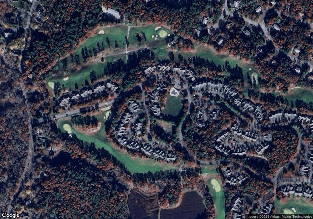
Map
Nearby Homes
- 13 Laurel Hill Ct
- 5 Sea Knoll Ct
- 26 Carnoustie Rd
- 12 Turnberry Rd Unit 12
- 203 County Rd
- 34 Turnberry Rd
- 4 Hollyhock Knoll Ct Unit 4
- 4 Hollyhock Knoll Ct Unit 4
- 1 Hollyhock Knoll Ct Unit 1
- 14 Great Rock Rd
- 85 Waterhouse Rd
- 85 Waterhouse Rd
- 12 Beachwood Rd
- 16 Amberwood Ct
- 405 Village Dr
- 405 Village Dr Unit 405
- 18 Quaker Ln
- 44 Cotuit Rd
- 18 Carlton Rd
- 3 Prestwick Rd
- 2 Candleberry Ct
- 4 Candleberry Ct
- 1 Candleberry Ct
- 6 Candleberry Ct
- 4 Candleberry Ct
- 4 Candleberry Ct Unit 189
- 5 Candleberry Ct
- 5 Candleberry Ct
- 6 Candleberry Ct
- 6 Candleberry Ct Unit 187
- 5 Candleberry Ct Unit 188
- 6 Candleberry Ct Unit 189
- 5 Candleberry Ct Unit 5
- 6 Candleberry Ct Unit 6
- 9 Prestwick Rd
- 6 Prestwick Rd
- 4 Prestwick Rd
- 2 Prestwick Rd
- 4 Prestwick Rd