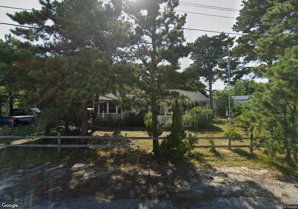
7 Princeton Cir West Dennis, MA 02670
West Dennis NeighborhoodEstimated Value: $575,000 - $643,000
3
Beds
1
Bath
1,001
Sq Ft
$606/Sq Ft
Est. Value
About This Home
This home is located at 7 Princeton Cir, West Dennis, MA 02670 and is currently estimated at $606,721, approximately $606 per square foot. 7 Princeton Cir is a home located in Barnstable County with nearby schools including Dennis-Yarmouth Regional High School and St. Pius X. School.
Ownership History
Date
Name
Owned For
Owner Type
Purchase Details
Closed on
Dec 21, 2009
Sold by
King Peter F
Bought by
7 Princeton Circle Rt
Current Estimated Value
Purchase Details
Closed on
Nov 1, 2000
Sold by
Pastore Joseph J and Pastore Mary A
Bought by
King Peter F and King Patricie A
Home Financials for this Owner
Home Financials are based on the most recent Mortgage that was taken out on this home.
Original Mortgage
$145,000
Interest Rate
7.83%
Mortgage Type
Purchase Money Mortgage
Create a Home Valuation Report for This Property
The Home Valuation Report is an in-depth analysis detailing your home's value as well as a comparison with similar homes in the area
Home Values in the Area
Average Home Value in this Area
Purchase History
| Date | Buyer | Sale Price | Title Company |
|---|---|---|---|
| 7 Princeton Circle Rt | -- | -- | |
| King Peter F | $163,000 | -- |
Source: Public Records
Mortgage History
| Date | Status | Borrower | Loan Amount |
|---|---|---|---|
| Previous Owner | King Peter F | $145,000 |
Source: Public Records
Tax History Compared to Growth
Tax History
| Year | Tax Paid | Tax Assessment Tax Assessment Total Assessment is a certain percentage of the fair market value that is determined by local assessors to be the total taxable value of land and additions on the property. | Land | Improvement |
|---|---|---|---|---|
| 2025 | $2,503 | $578,100 | $216,700 | $361,400 |
| 2024 | $2,364 | $538,500 | $208,400 | $330,100 |
| 2023 | $2,286 | $489,500 | $189,400 | $300,100 |
| 2022 | $2,078 | $371,000 | $147,900 | $223,100 |
| 2021 | $1,992 | $330,400 | $145,000 | $185,400 |
| 2020 | $1,936 | $317,300 | $156,100 | $161,200 |
| 2019 | $1,897 | $307,400 | $164,000 | $143,400 |
| 2018 | $1,740 | $274,400 | $145,700 | $128,700 |
| 2017 | $1,663 | $270,400 | $145,700 | $124,700 |
| 2016 | $1,673 | $256,200 | $150,900 | $105,300 |
| 2015 | $1,640 | $256,200 | $150,900 | $105,300 |
| 2014 | $1,627 | $256,200 | $150,900 | $105,300 |
Source: Public Records
Map
Nearby Homes
- 15 Woodside Park Rd
- 61 Trotters Ln
- 80 Michaels Ave
- 27 Mayflower Ln
- 19 Standish Way
- 71 Main St
- 26 Center St
- 4 Coffey Ln
- 3 Pinefield Ln
- 37 Ocean Dr Unit 2
- 95 Center St
- 467 Main St
- 10 Grindell Ave
- 31 Easy St
- 428 Main St Unit 1-11
- 22 Wixon Rd
- 64 Beaten Rd
- 401 Main St Unit 201
- 401 Main St Unit 101
- 6 Baker Way
- 145 Swan River Rd
- 15 Princeton Cir
- 28 Salt Meadows Rd
- 28 Salt Meadows Rd
- 34 Salt Meadows Rd
- 10 Princeton Cir
- 141 Swan River Rd
- 146 Swan River Rd
- 142 Swan River Rd
- 27 Salt Meadows Rd
- 157 Swan River Rd
- 152 Swan River Rd
- 15 College Dr
- 41 Salt Meadows Rd
- 4 College Dr
- 20 Salt Meadows Rd
- 20 Salt Meadow Rd
- 10 Swan Ln
- 10 College Dr
- 23 Salt Meadows Rd