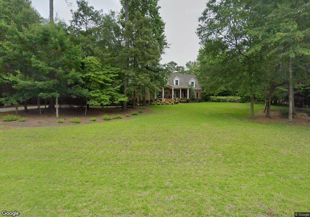
7 Rabon Dr Forsyth, GA 31029
Estimated Value: $492,826 - $598,000
4
Beds
4
Baths
3,262
Sq Ft
$170/Sq Ft
Est. Value
About This Home
This home is located at 7 Rabon Dr, Forsyth, GA 31029 and is currently estimated at $555,457, approximately $170 per square foot. 7 Rabon Dr is a home located in Monroe County with nearby schools including T.G. Scott Elementary School, Mary Persons High School, and Monroe Academy.
Ownership History
Date
Name
Owned For
Owner Type
Purchase Details
Closed on
Jul 28, 2016
Sold by
Freelin Dawn M and Freelin George
Bought by
Freeman William B and Freeman Janet J
Current Estimated Value
Home Financials for this Owner
Home Financials are based on the most recent Mortgage that was taken out on this home.
Original Mortgage
$272,000
Interest Rate
3.48%
Mortgage Type
New Conventional
Purchase Details
Closed on
Jul 29, 2005
Sold by
Bouzek Joseph G
Bought by
Freelin George and Freelin Dawn M
Create a Home Valuation Report for This Property
The Home Valuation Report is an in-depth analysis detailing your home's value as well as a comparison with similar homes in the area
Home Values in the Area
Average Home Value in this Area
Purchase History
| Date | Buyer | Sale Price | Title Company |
|---|---|---|---|
| Freeman William B | $350,000 | -- | |
| Freelin George | $60,000 | -- |
Source: Public Records
Mortgage History
| Date | Status | Borrower | Loan Amount |
|---|---|---|---|
| Closed | Freeman William B | $272,000 |
Source: Public Records
Tax History Compared to Growth
Tax History
| Year | Tax Paid | Tax Assessment Tax Assessment Total Assessment is a certain percentage of the fair market value that is determined by local assessors to be the total taxable value of land and additions on the property. | Land | Improvement |
|---|---|---|---|---|
| 2024 | $4,357 | $166,760 | $10,120 | $156,640 |
| 2023 | $4,181 | $140,680 | $10,120 | $130,560 |
| 2022 | $3,484 | $140,680 | $10,120 | $130,560 |
| 2021 | $3,607 | $140,680 | $10,120 | $130,560 |
| 2020 | $3,556 | $135,760 | $10,120 | $125,640 |
| 2019 | $3,584 | $135,760 | $10,120 | $125,640 |
| 2018 | $3,595 | $135,760 | $10,120 | $125,640 |
| 2017 | $3,946 | $135,760 | $10,120 | $125,640 |
| 2016 | $2,679 | $108,960 | $10,120 | $98,840 |
| 2015 | $2,541 | $108,960 | $10,120 | $98,840 |
| 2014 | $2,451 | $108,960 | $10,120 | $98,840 |
Source: Public Records
Map
Nearby Homes
- 22 Rabon Dr
- 122 Laurel Ridge
- 1550 Charlie Benson Rd
- 34 Kyndall Ln
- 131 Hawthorne Ln
- 125 Hawthorne Ln
- 155 Hawthorne Ln
- 311 Clover Pass
- 98 Adam Dr
- 88 Adam Dr
- 312 Clover Pass
- 243 Copper Crossing
- TRACTS 1 & 5 Old Rumble Rd
- TRACTS 2-4 Old Rumble Rd
- 149 Presidents Way
- 2022 Highway 41 N
- 656 Dolly Dr
- 0 Benson Ham Rd Unit OUTPARCEL 1 10551782
- 0 Benson Ham Rd Unit OUTPARCEL 2 10558340
- 100 Gardens
- 0 Jennifer Dr Unit 3055053
- 0 Jennifer Dr Unit 8528437
- 0 Jennifer Dr Unit 147200
- 0 Jennifer Dr Unit 186697
- 0 Jennifer Dr Unit 8484202
- 21 Rabon Dr
- 8 Rabon Dr
- 12 Jennifer Dr
- 12 Jennifer Dr Unit 12
- 2 Rabon Dr
- 53 Jennifer Dr
- 61 Jennifer Dr
- 31 Jennifer Dr
- 43 Jennifer Dr
- 74 Jennifer Dr
- 104 Jennifer Dr
- Rabon Rabon Dr
- 69 Jennifer Dr
- 323 Chriswood Dr Unit 9
- 323 Chriswood Dr