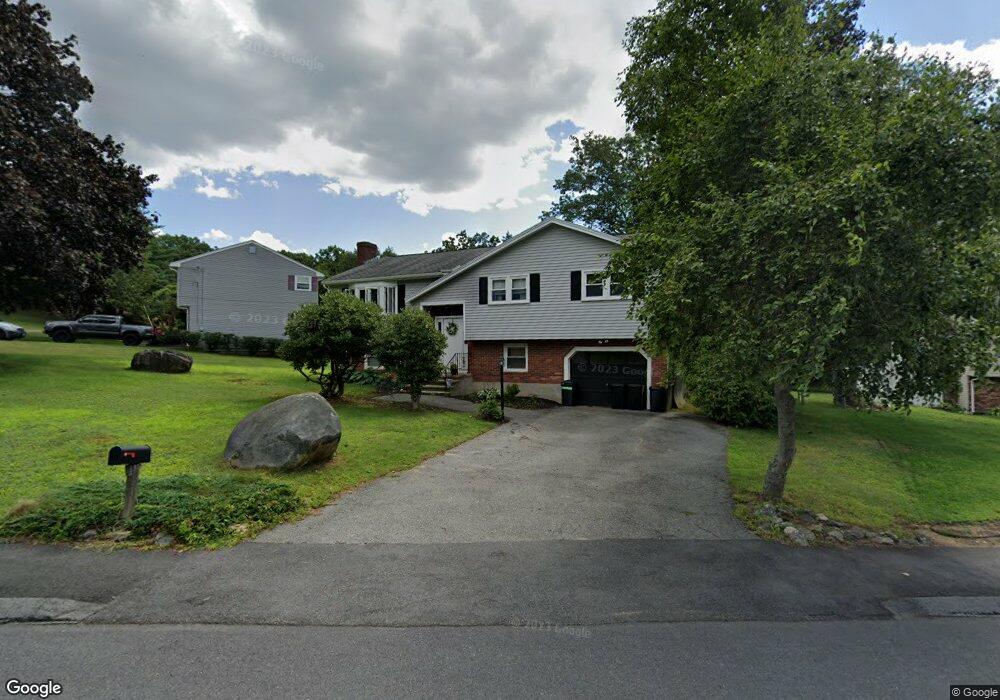
7 Rag Rock Dr Woburn, MA 01801
Cummingsville NeighborhoodEstimated Value: $647,000 - $881,000
4
Beds
2
Baths
1,196
Sq Ft
$654/Sq Ft
Est. Value
About This Home
This home is located at 7 Rag Rock Dr, Woburn, MA 01801 and is currently estimated at $782,198, approximately $654 per square foot. 7 Rag Rock Dr is a home located in Middlesex County with nearby schools including Hurld Elementary School, Daniel L. Joyce Middle School, and Woburn High School.
Ownership History
Date
Name
Owned For
Owner Type
Purchase Details
Closed on
Jun 29, 1990
Sold by
Lagowski Jacek
Bought by
Littleton Stephen F
Current Estimated Value
Home Financials for this Owner
Home Financials are based on the most recent Mortgage that was taken out on this home.
Original Mortgage
$62,000
Interest Rate
10.27%
Mortgage Type
Purchase Money Mortgage
Create a Home Valuation Report for This Property
The Home Valuation Report is an in-depth analysis detailing your home's value as well as a comparison with similar homes in the area
Home Values in the Area
Average Home Value in this Area
Purchase History
| Date | Buyer | Sale Price | Title Company |
|---|---|---|---|
| Littleton Stephen F | $191,000 | -- | |
| Littleton Stephen F | $191,000 | -- |
Source: Public Records
Mortgage History
| Date | Status | Borrower | Loan Amount |
|---|---|---|---|
| Open | Littleton Stephen F | $18,500 | |
| Open | Littleton Stephen F | $139,100 | |
| Closed | Littleton Stephen F | $62,000 |
Source: Public Records
Tax History
| Year | Tax Paid | Tax Assessment Tax Assessment Total Assessment is a certain percentage of the fair market value that is determined by local assessors to be the total taxable value of land and additions on the property. | Land | Improvement |
|---|---|---|---|---|
| 2025 | $5,933 | $694,700 | $339,200 | $355,500 |
| 2024 | $5,470 | $678,700 | $323,200 | $355,500 |
| 2023 | $5,363 | $616,400 | $293,900 | $322,500 |
| 2022 | $5,172 | $553,700 | $256,100 | $297,600 |
| 2021 | $4,946 | $530,100 | $244,100 | $286,000 |
| 2020 | $4,770 | $511,800 | $244,100 | $267,700 |
| 2019 | $4,502 | $473,900 | $232,700 | $241,200 |
| 2018 | $4,354 | $440,200 | $213,800 | $226,400 |
| 2017 | $4,133 | $415,800 | $203,900 | $211,900 |
| 2016 | $3,947 | $392,700 | $190,800 | $201,900 |
| 2015 | $3,803 | $373,900 | $178,600 | $195,300 |
| 2014 | $3,645 | $349,100 | $178,600 | $170,500 |
Source: Public Records
Map
Nearby Homes
- 12 Cassidy Dr
- 80 N Warren St Unit 31
- 17 Wright St
- 6 Randall Dr
- 148 Wyman St Unit 148
- 136 Bedford Rd
- 52 Pleasant St
- 166 Place Ln Unit 166
- 168 Place Ln
- 380 Place Ln
- 31 Arlington Rd Unit 1-6
- 27 Arlington Rd Unit 2
- 555 Main St Unit 11
- 14 Church Ave
- 477 Main St
- 24 Lowell St
- 45 Lowell St
- 41 Lowell St
- 15 Sturgis St
- 7 Prospect St
Your Personal Tour Guide
Ask me questions while you tour the home.