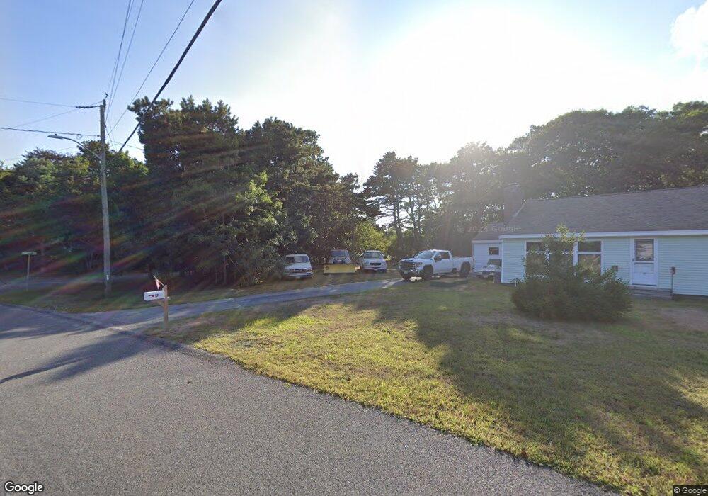
7 Ramsey Ln South Dennis, MA 02660
Dennis Port NeighborhoodEstimated Value: $677,000 - $756,071
3
Beds
3
Baths
1,562
Sq Ft
$464/Sq Ft
Est. Value
About This Home
This home is located at 7 Ramsey Ln, South Dennis, MA 02660 and is currently estimated at $725,018, approximately $464 per square foot. 7 Ramsey Ln is a home located in Barnstable County with nearby schools including Dennis-Yarmouth Regional High School and St. Pius X. School.
Ownership History
Date
Name
Owned For
Owner Type
Purchase Details
Closed on
Jun 25, 2013
Sold by
Colbert Dennis J and Colbert Mary E
Bought by
Colbert Mary E and Colbert Dennis J
Current Estimated Value
Purchase Details
Closed on
Jun 30, 2000
Sold by
Peay Joann R
Bought by
Colbert Dennis J and Colbert Mary E
Home Financials for this Owner
Home Financials are based on the most recent Mortgage that was taken out on this home.
Original Mortgage
$130,000
Interest Rate
8.59%
Mortgage Type
Purchase Money Mortgage
Create a Home Valuation Report for This Property
The Home Valuation Report is an in-depth analysis detailing your home's value as well as a comparison with similar homes in the area
Home Values in the Area
Average Home Value in this Area
Purchase History
| Date | Buyer | Sale Price | Title Company |
|---|---|---|---|
| Colbert Mary E | -- | -- | |
| Colbert Dennis J | $60,000 | -- |
Source: Public Records
Mortgage History
| Date | Status | Borrower | Loan Amount |
|---|---|---|---|
| Previous Owner | Colbert Dennis J | $187,500 | |
| Previous Owner | Colbert Dennis J | $133,000 | |
| Previous Owner | Colbert Dennis J | $130,000 |
Source: Public Records
Tax History Compared to Growth
Tax History
| Year | Tax Paid | Tax Assessment Tax Assessment Total Assessment is a certain percentage of the fair market value that is determined by local assessors to be the total taxable value of land and additions on the property. | Land | Improvement |
|---|---|---|---|---|
| 2025 | $3,049 | $704,200 | $173,400 | $530,800 |
| 2024 | $2,888 | $657,800 | $176,500 | $481,300 |
| 2023 | $2,819 | $603,600 | $160,500 | $443,100 |
| 2022 | $2,752 | $491,500 | $160,600 | $330,900 |
| 2021 | $4,510 | $407,100 | $141,700 | $265,400 |
| 2020 | $2,408 | $394,800 | $141,700 | $253,100 |
| 2019 | $3,708 | $367,200 | $139,000 | $228,200 |
| 2018 | $1,221 | $352,700 | $132,300 | $220,400 |
| 2017 | $3,966 | $352,700 | $132,300 | $220,400 |
| 2016 | $2,186 | $334,700 | $147,000 | $187,700 |
| 2015 | $2,142 | $334,700 | $147,000 | $187,700 |
| 2014 | $1,901 | $299,300 | $117,600 | $181,700 |
Source: Public Records
Map
Nearby Homes
- 29 Highland St
- 3 Jennifer Ln
- 31 Duck Pond Rd
- 116 Searsville Rd
- 171 Searsville Rd
- 360 Center St
- 401 Main St Unit 201
- 401 Main St Unit 101
- 293 Main St
- 293 Main St
- 295 Main St
- 20 Aunt Debbys Rd
- 95 Center St
- 537 Depot St
- 24 Indian Trail
- 26 Center St
- 3 Pinefield Ln
- 78 Upper County Rd Unit A&B
- 78 Upper County Rd
- 37 Cyprus Rd
- 11 Ramsey Ln
- 12 & 16 Ramsey Ln
- 62 Searsville Rd
- 13 Ramsey Ln
- 8 Ramsey Ln
- 12 Ramsey Ln
- 64 Searsville Rd
- 50 Searsville Rd
- 15 Ramsey Ln
- 16 Ramsey Ln
- 46 Searsville Rd
- 17 Highland St
- 71 Searsville Rd
- 42 Searsville Rd
- 10 Highland St
- 23 Highland St
- 67 Great Western Rd
- 74 Searsville Rd
- 51 Searsville Rd
- 75 Searsville Rd