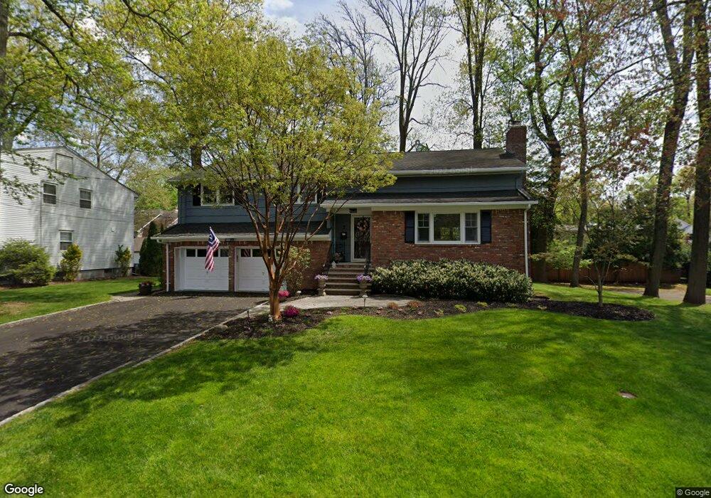
7 Ramsgate Rd Cranford, NJ 07016
Estimated Value: $930,105 - $1,298,000
4
Beds
3
Baths
2,775
Sq Ft
$403/Sq Ft
Est. Value
About This Home
This home is located at 7 Ramsgate Rd, Cranford, NJ 07016 and is currently estimated at $1,118,776, approximately $403 per square foot. 7 Ramsgate Rd is a home located in Union County with nearby schools including Cranford Sr High School, St Michael School, and Christopher Academy Montessori.
Ownership History
Date
Name
Owned For
Owner Type
Purchase Details
Closed on
Sep 15, 2021
Sold by
Mccourt Brian and Green Kelly
Bought by
Mccourt Brian and Green Kelly
Current Estimated Value
Purchase Details
Closed on
Jun 14, 2021
Sold by
Henderson Christopher J and Henderson Tammie
Bought by
Mccourt Brian and Green Kelly
Home Financials for this Owner
Home Financials are based on the most recent Mortgage that was taken out on this home.
Original Mortgage
$765,000
Outstanding Balance
$688,070
Interest Rate
2.9%
Mortgage Type
New Conventional
Estimated Equity
$430,706
Purchase Details
Closed on
Jul 13, 2005
Sold by
Gatto Victor
Bought by
Henderson Christopher J and Henderson Tammie
Home Financials for this Owner
Home Financials are based on the most recent Mortgage that was taken out on this home.
Original Mortgage
$425,000
Interest Rate
5.59%
Mortgage Type
New Conventional
Create a Home Valuation Report for This Property
The Home Valuation Report is an in-depth analysis detailing your home's value as well as a comparison with similar homes in the area
Home Values in the Area
Average Home Value in this Area
Purchase History
| Date | Buyer | Sale Price | Title Company |
|---|---|---|---|
| Mccourt Brian | -- | None Available | |
| Mccourt Brian | $850,000 | Westcor Land Title Ins Co | |
| Henderson Christopher J | $675,000 | -- |
Source: Public Records
Mortgage History
| Date | Status | Borrower | Loan Amount |
|---|---|---|---|
| Open | Mccourt Brian | $765,000 | |
| Previous Owner | Henderson Christopher J | $425,000 |
Source: Public Records
Tax History
| Year | Tax Paid | Tax Assessment Tax Assessment Total Assessment is a certain percentage of the fair market value that is determined by local assessors to be the total taxable value of land and additions on the property. | Land | Improvement |
|---|---|---|---|---|
| 2025 | $16,948 | $250,000 | $101,200 | $148,800 |
| 2024 | $16,668 | $250,000 | $101,200 | $148,800 |
| 2023 | $16,668 | $250,000 | $101,200 | $148,800 |
| 2022 | $16,530 | $250,000 | $101,200 | $148,800 |
| 2021 | $16,458 | $250,000 | $101,200 | $148,800 |
| 2020 | $16,405 | $250,000 | $101,200 | $148,800 |
| 2019 | $16,300 | $250,000 | $101,200 | $148,800 |
| 2018 | $16,005 | $250,000 | $101,200 | $148,800 |
| 2017 | $15,455 | $250,000 | $101,200 | $148,800 |
| 2016 | $14,893 | $250,000 | $101,200 | $148,800 |
| 2015 | $14,253 | $250,000 | $101,200 | $148,800 |
| 2014 | $14,762 | $264,200 | $101,200 | $163,000 |
Source: Public Records
Map
Nearby Homes
- 21 Spruce St
- 684 Gallows Hill Rd
- 312 3rd Ave
- 221 North Ave W
- 401 Brookside Place
- 116 Willow Ave
- 484 4th Ave Unit 9
- 1008 Cranford Ave
- 28 Hampton Rd
- 23 Lincoln Ave W
- 17 Richmond Ave
- 941 Harding St
- 308 Edgar Ave
- 615 Maple Ct Unit 615
- 21 Sandra Cir
- 529 Benson Place
- 201 Maple Place
- 12 Dorchester Ave
- 735 Castleman Dr
- 37 A3 Sandra Cir
Your Personal Tour Guide
Ask me questions while you tour the home.