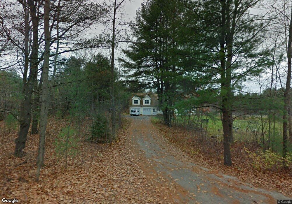
7 Rangeley Way Gorham, ME 04038
Estimated Value: $628,000 - $840,000
1
Bed
1
Bath
2,671
Sq Ft
$276/Sq Ft
Est. Value
About This Home
This home is located at 7 Rangeley Way, Gorham, ME 04038 and is currently estimated at $736,369, approximately $275 per square foot. 7 Rangeley Way is a home located in Cumberland County with nearby schools including Narragansett Elementary School, Gorham Middle School, and Gorham High School.
Ownership History
Date
Name
Owned For
Owner Type
Purchase Details
Closed on
Oct 27, 2010
Sold by
Lavigne Kimberly A and Brown Kimberly A
Bought by
Lavigne Kimberly A and Lavigne Thomas J
Current Estimated Value
Create a Home Valuation Report for This Property
The Home Valuation Report is an in-depth analysis detailing your home's value as well as a comparison with similar homes in the area
Home Values in the Area
Average Home Value in this Area
Purchase History
| Date | Buyer | Sale Price | Title Company |
|---|---|---|---|
| Lavigne Kimberly A | -- | -- |
Source: Public Records
Tax History
| Year | Tax Paid | Tax Assessment Tax Assessment Total Assessment is a certain percentage of the fair market value that is determined by local assessors to be the total taxable value of land and additions on the property. | Land | Improvement |
|---|---|---|---|---|
| 2025 | $8,214 | $555,000 | $135,000 | $420,000 |
| 2024 | $8,159 | $555,000 | $135,000 | $420,000 |
| 2023 | $7,631 | $555,000 | $135,000 | $420,000 |
| 2022 | $7,132 | $555,000 | $135,000 | $420,000 |
| 2021 | $5,867 | $302,400 | $77,200 | $225,200 |
| 2020 | $5,746 | $302,400 | $77,200 | $225,200 |
| 2019 | $5,730 | $302,400 | $77,200 | $225,200 |
| 2018 | $5,504 | $302,400 | $77,200 | $225,200 |
| 2017 | $5,171 | $302,400 | $77,200 | $225,200 |
| 2016 | $5,144 | $302,600 | $77,400 | $225,200 |
| 2015 | $4,932 | $302,600 | $77,400 | $225,200 |
| 2014 | $4,677 | $268,800 | $70,800 | $198,000 |
| 2013 | $4,650 | $268,800 | $70,800 | $198,000 |
Source: Public Records
Map
Nearby Homes
- 52 Hogan Cir Unit 1
- 11 Dragonfly Ln
- 14 Patio Park Ln
- 25 Patio Park Ln
- 0 Cobb Rd
- 280 Longfellow St Unit 17
- 25 Longfellow Dr
- 22 Gateway Commons Dr
- Lot 3A Day Rd
- 218 Longfellow St
- 17 Lochwood Dr
- TBD Lochwood Dr
- 24 Day Rd
- 204 Wickham Way Unit Lot 204
- 195 Wickham Way
- 13 Lochwood Dr
- 121 Victoria Dr
- 115 Saco St Unit 4
- 13 Windsor Dr
- 30 Fairway Commons Dr Unit 10
- 11 Rangeley Way
- 253 New Portland Rd
- 257 New Portland Rd
- 6 Mcadam Way
- 5 Mcadam Way
- 21 Rangeley Way
- 245 New Portland Rd
- 239 New Portland Rd
- 259 New Portland Rd
- 48 Snowberry Dr
- 236 New Portland Rd
- 41 Snowberry Dr
- 39 Snowberry Dr
- 38 Snowberry Drive Lot 5
- 231 New Portland Rd
- 36 Brackett Rd
- 35 Snowberry Dr
- 22 Brackett Rd
- 20 Snowberry Dr
- 14 Snowberry Dr
Your Personal Tour Guide
Ask me questions while you tour the home.