7 Rhonda Rheault Dr Oxford, MA 01540
Estimated Value: $563,772 - $725,000
3
Beds
4
Baths
2,045
Sq Ft
$312/Sq Ft
Est. Value
About This Home
This home is located at 7 Rhonda Rheault Dr, Oxford, MA 01540 and is currently estimated at $637,443, approximately $311 per square foot. 7 Rhonda Rheault Dr is a home located in Worcester County with nearby schools including Alfred M Chaffee, Oxford High School, and Clara Barton Elementary School.
Ownership History
Date
Name
Owned For
Owner Type
Purchase Details
Closed on
Aug 31, 2005
Sold by
Esposito John
Bought by
Maloney-Hagel Karen A and Hagel Randolph L
Current Estimated Value
Home Financials for this Owner
Home Financials are based on the most recent Mortgage that was taken out on this home.
Original Mortgage
$328,500
Outstanding Balance
$175,306
Interest Rate
5.81%
Mortgage Type
Purchase Money Mortgage
Estimated Equity
$462,137
Purchase Details
Closed on
Oct 7, 1992
Sold by
Fort Hill Dev Assoc
Bought by
Esposito John J and Esposito Brigette
Home Financials for this Owner
Home Financials are based on the most recent Mortgage that was taken out on this home.
Original Mortgage
$116,900
Interest Rate
7.99%
Mortgage Type
Purchase Money Mortgage
Create a Home Valuation Report for This Property
The Home Valuation Report is an in-depth analysis detailing your home's value as well as a comparison with similar homes in the area
Home Values in the Area
Average Home Value in this Area
Purchase History
| Date | Buyer | Sale Price | Title Company |
|---|---|---|---|
| Maloney-Hagel Karen A | $365,000 | -- | |
| Esposito John J | $50,000 | -- |
Source: Public Records
Mortgage History
| Date | Status | Borrower | Loan Amount |
|---|---|---|---|
| Open | Maloney-Hagel Karen A | $328,500 | |
| Previous Owner | Esposito John J | $87,000 | |
| Previous Owner | Esposito John J | $102,000 | |
| Previous Owner | Esposito John J | $116,900 |
Source: Public Records
Tax History Compared to Growth
Tax History
| Year | Tax Paid | Tax Assessment Tax Assessment Total Assessment is a certain percentage of the fair market value that is determined by local assessors to be the total taxable value of land and additions on the property. | Land | Improvement |
|---|---|---|---|---|
| 2025 | $61 | $483,700 | $116,000 | $367,700 |
| 2024 | $6,383 | $473,500 | $113,600 | $359,900 |
| 2023 | $5,918 | $433,900 | $101,600 | $332,300 |
| 2022 | $5,992 | $370,800 | $84,600 | $286,200 |
| 2021 | $5,741 | $347,300 | $80,100 | $267,200 |
| 2020 | $5,491 | $329,600 | $80,100 | $249,500 |
| 2019 | $4,610 | $270,700 | $79,700 | $191,000 |
| 2018 | $4,675 | $270,700 | $79,700 | $191,000 |
| 2017 | $4,622 | $274,300 | $76,400 | $197,900 |
| 2016 | $4,644 | $274,300 | $76,400 | $197,900 |
| 2015 | $4,331 | $274,300 | $76,400 | $197,900 |
| 2014 | $4,223 | $281,500 | $74,400 | $207,100 |
Source: Public Records
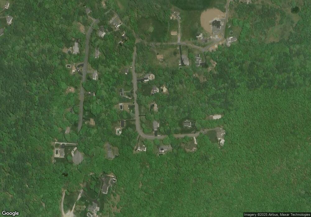
Map
Nearby Homes
- 5 Rhonda Rheault Dr
- 9 Rhonda Rheault Dr
- 8 Rhonda Rheault Dr
- 15 Rhonda Rheault Dr
- 10 Rhonda Rheault Dr
- 6 Rhonda Rheault Dr
- 14 Rhonda Rheault Dr
- 12 Rhonda Rheault Dr
- 90 Fort Hill Rd
- 4 Rhonda Rheault Dr
- 92 Fort Hill Rd
- 16 Rhonda Rheault Dr
- 7 Garrison Heights Dr
- 94 Fort Hill Rd
- 9 Garrison Heights Dr
- 5 Garrison Heights Dr
- 11 Garrison Heights Dr
- 88 Fort Hill Rd
- 3 Garrison Heights Dr
- 89 Fort Hill Rd