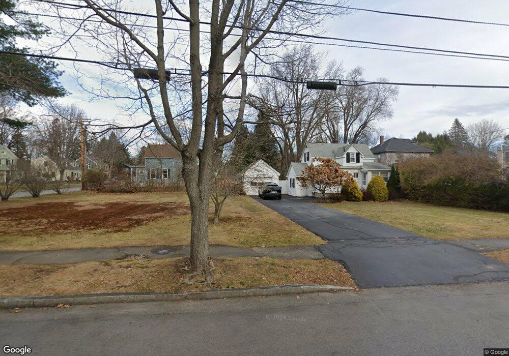
7 Riggs St Portland, ME 04102
Nasons Corner NeighborhoodEstimated Value: $378,000 - $454,000
1
Bed
2
Baths
786
Sq Ft
$527/Sq Ft
Est. Value
About This Home
This home is located at 7 Riggs St, Portland, ME 04102 and is currently estimated at $413,832, approximately $526 per square foot. 7 Riggs St is a home located in Cumberland County with nearby schools including Amanda C Rowe School, Lincoln Middle School, and Breakwater School.
Ownership History
Date
Name
Owned For
Owner Type
Purchase Details
Closed on
Nov 27, 2024
Sold by
Googins Jessica L
Bought by
Kilbride Molly and Changasie Wilshon
Current Estimated Value
Home Financials for this Owner
Home Financials are based on the most recent Mortgage that was taken out on this home.
Original Mortgage
$347,985
Outstanding Balance
$344,724
Interest Rate
6.44%
Mortgage Type
FHA
Estimated Equity
$69,108
Purchase Details
Closed on
May 14, 2007
Sold by
Aceto Elizabeth A
Bought by
Googins Jessica L
Home Financials for this Owner
Home Financials are based on the most recent Mortgage that was taken out on this home.
Original Mortgage
$146,400
Interest Rate
6.21%
Mortgage Type
Unknown
Create a Home Valuation Report for This Property
The Home Valuation Report is an in-depth analysis detailing your home's value as well as a comparison with similar homes in the area
Home Values in the Area
Average Home Value in this Area
Purchase History
| Date | Buyer | Sale Price | Title Company |
|---|---|---|---|
| Kilbride Molly | $380,000 | None Available | |
| Googins Jessica L | -- | -- | |
| Googins Jessica L | -- | -- |
Source: Public Records
Mortgage History
| Date | Status | Borrower | Loan Amount |
|---|---|---|---|
| Open | Kilbride Molly | $347,985 | |
| Previous Owner | Googins Jessica L | $146,400 |
Source: Public Records
Tax History Compared to Growth
Tax History
| Year | Tax Paid | Tax Assessment Tax Assessment Total Assessment is a certain percentage of the fair market value that is determined by local assessors to be the total taxable value of land and additions on the property. | Land | Improvement |
|---|---|---|---|---|
| 2024 | $4,383 | $292,000 | $81,600 | $210,400 |
| 2023 | $4,208 | $292,000 | $81,600 | $210,400 |
| 2022 | $3,974 | $292,000 | $81,600 | $210,400 |
| 2021 | $3,793 | $292,000 | $81,600 | $210,400 |
| 2020 | $3,583 | $153,700 | $58,700 | $95,000 |
| 2019 | $3,583 | $153,700 | $58,700 | $95,000 |
| 2018 | $2,921 | $153,700 | $58,700 | $95,000 |
| 2017 | $3,328 | $153,700 | $58,700 | $95,000 |
| 2016 | $3,245 | $153,700 | $58,700 | $95,000 |
| 2015 | $3,171 | $153,700 | $58,700 | $95,000 |
| 2014 | $3,074 | $153,700 | $58,700 | $95,000 |
Source: Public Records
Map
Nearby Homes
- 0 Hillcrest Ave
- 7 Dale Ct
- 84 Glenridge
- 99 Webb St
- 96 Holm Ave
- 63A Capisic St
- 24 Celebration Ct Unit 13
- 97 Warren Ave
- 159 Bancroft St
- 37 Tremont St
- 147 Pleasant Ave Unit 2
- 1549 Westbrook St
- 18 Stoneledge Dr
- 75 Mcauley Way Unit 307
- 75 Mcauley Way Unit 405
- 75 Mcauley Way Unit 206
- 75 Mcauley Way Unit 401
- 75 Mcauley Way Unit 207
- 75 Mcauley Way Unit 502
- 75 Mcauley Way Unit 304