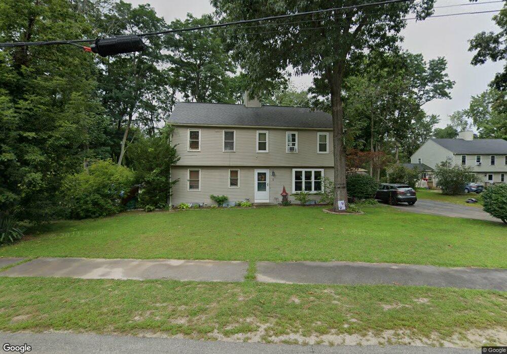
7 Rivers Edge Rd Blackstone, MA 01504
Estimated Value: $307,923 - $330,000
2
Beds
2
Baths
1,045
Sq Ft
$309/Sq Ft
Est. Value
About This Home
This home is located at 7 Rivers Edge Rd, Blackstone, MA 01504 and is currently estimated at $322,731, approximately $308 per square foot. 7 Rivers Edge Rd is a home located in Worcester County with nearby schools including Blackstone-Millville Regional High School, Rise Prep Mayoral Academy Middle School, and Founders Academy.
Ownership History
Date
Name
Owned For
Owner Type
Purchase Details
Closed on
Nov 29, 2001
Sold by
Anelli Maria C
Bought by
Pisani Raychelle K and Pisani Warren M
Current Estimated Value
Home Financials for this Owner
Home Financials are based on the most recent Mortgage that was taken out on this home.
Original Mortgage
$73,500
Outstanding Balance
$28,912
Interest Rate
6.66%
Mortgage Type
Purchase Money Mortgage
Estimated Equity
$293,819
Purchase Details
Closed on
Oct 14, 1994
Sold by
Boston Joseph and Boston Phyllis
Bought by
Dias Luiz and Anelli Maria
Home Financials for this Owner
Home Financials are based on the most recent Mortgage that was taken out on this home.
Original Mortgage
$70,300
Interest Rate
8.43%
Mortgage Type
Purchase Money Mortgage
Create a Home Valuation Report for This Property
The Home Valuation Report is an in-depth analysis detailing your home's value as well as a comparison with similar homes in the area
Home Values in the Area
Average Home Value in this Area
Purchase History
| Date | Buyer | Sale Price | Title Company |
|---|---|---|---|
| Pisani Raychelle K | $128,500 | -- | |
| Dias Luiz | $74,000 | -- |
Source: Public Records
Mortgage History
| Date | Status | Borrower | Loan Amount |
|---|---|---|---|
| Open | Dias Luiz | $73,500 | |
| Previous Owner | Dias Luiz | $70,300 |
Source: Public Records
Tax History Compared to Growth
Tax History
| Year | Tax Paid | Tax Assessment Tax Assessment Total Assessment is a certain percentage of the fair market value that is determined by local assessors to be the total taxable value of land and additions on the property. | Land | Improvement |
|---|---|---|---|---|
| 2025 | $3,863 | $255,800 | $0 | $255,800 |
| 2024 | $3,250 | $199,000 | $0 | $199,000 |
| 2023 | $3,344 | $206,700 | $0 | $206,700 |
| 2022 | $2,873 | $160,500 | $0 | $160,500 |
| 2021 | $3,448 | $184,200 | $0 | $184,200 |
| 2020 | $2,644 | $140,200 | $0 | $140,200 |
| 2019 | $2,536 | $134,100 | $0 | $134,100 |
| 2018 | $2,645 | $135,700 | $0 | $135,700 |
| 2017 | $2,452 | $127,300 | $0 | $127,300 |
| 2016 | $2,580 | $133,400 | $0 | $133,400 |
| 2015 | $2,608 | $133,900 | $0 | $133,900 |
Source: Public Records
Map
Nearby Homes
- 96 Main St Unit 1
- 15 Blackstone St
- 3 Federal St
- 22 Colerick Ave
- 11 Federal St
- 24 Reilly Ave
- 122 Canal St
- 81 Fountain St
- 6 Old Mendon St
- 8 Old Mendon St Unit 8
- 10 Huntington Ave
- 29 Graves Ave
- 225-227 Main St
- 60 Fairlawn Ave
- 175 Saint Paul St
- 8 Devlin Cir
- 44 Federal St
- 12 Keough St
- 1 Tupperware Dr Unit 226
- 1 Tupperware Dr Unit 138
- 5 Rivers Edge Rd
- 1 Rivers Edge Rd
- 3 Rivers Edge Rd
- 11 Rivers Edge Rd
- 11 Rivers Edge Rd Unit 11
- 11 Rivers Edge Rd Unit 11,2
- 9 Rivers Edge Rd
- 4 Rivers Edge Rd
- 4 Rivers Edge Rd Unit 4
- 2 Rivers Edge Rd
- 12R Saint Paul St
- 12 Saint Paul St
- 18 Saint Paul St
- 6 Rivers Edge Rd
- 15 Rivers Edge Rd
- 13 Rivers Edge Rd
- 15 Rivers Edge Rd Unit 10
- 68 Saint Paul St
- 24 Saint Paul St
- 6 Saint Paul St Unit 1