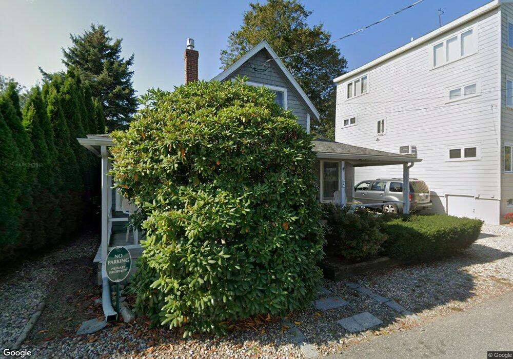
7 Riverside Rd Gloucester, MA 01930
Riverview NeighborhoodEstimated Value: $449,000 - $522,000
1
Bed
1
Bath
603
Sq Ft
$792/Sq Ft
Est. Value
About This Home
This home is located at 7 Riverside Rd, Gloucester, MA 01930 and is currently estimated at $477,629, approximately $792 per square foot. 7 Riverside Rd is a home located in Essex County with nearby schools including Beeman Memorial, Ralph B O'maley Middle School, and Gloucester High School.
Ownership History
Date
Name
Owned For
Owner Type
Purchase Details
Closed on
Sep 18, 2009
Sold by
Flaherty David J and Flaherty Mary V
Bought by
Flaherty Patrick J
Current Estimated Value
Home Financials for this Owner
Home Financials are based on the most recent Mortgage that was taken out on this home.
Original Mortgage
$141,000
Outstanding Balance
$92,634
Interest Rate
5.28%
Mortgage Type
Purchase Money Mortgage
Estimated Equity
$384,995
Create a Home Valuation Report for This Property
The Home Valuation Report is an in-depth analysis detailing your home's value as well as a comparison with similar homes in the area
Home Values in the Area
Average Home Value in this Area
Purchase History
| Date | Buyer | Sale Price | Title Company |
|---|---|---|---|
| Flaherty Patrick J | $151,000 | -- |
Source: Public Records
Mortgage History
| Date | Status | Borrower | Loan Amount |
|---|---|---|---|
| Open | Flaherty Patrick J | $141,000 |
Source: Public Records
Tax History
| Year | Tax Paid | Tax Assessment Tax Assessment Total Assessment is a certain percentage of the fair market value that is determined by local assessors to be the total taxable value of land and additions on the property. | Land | Improvement |
|---|---|---|---|---|
| 2025 | $3,790 | $389,900 | $208,500 | $181,400 |
| 2024 | $3,697 | $380,000 | $198,600 | $181,400 |
| 2023 | $3,555 | $335,700 | $177,300 | $158,400 |
| 2022 | $3,395 | $289,400 | $150,700 | $138,700 |
| 2021 | $3,274 | $263,200 | $137,000 | $126,200 |
| 2020 | $3,161 | $256,400 | $137,000 | $119,400 |
| 2019 | $3,013 | $237,400 | $137,000 | $100,400 |
| 2018 | $2,892 | $223,700 | $137,000 | $86,700 |
| 2017 | $2,806 | $212,700 | $130,500 | $82,200 |
| 2016 | $2,725 | $200,200 | $131,000 | $69,200 |
| 2015 | $2,679 | $196,300 | $131,000 | $65,300 |
Source: Public Records
Map
Nearby Homes
- 672 Washington St
- 13 Honeysuckle Rd
- 2 Finch Ln
- 167 Atlantic St
- 226 Atlantic St
- 6 Monroe Ct
- 98 Maplewood Ave
- 16 Cleveland Place Unit 11
- 40 Sargent St
- 7 Colburn St
- 19 Trask St Unit 2
- 15 Harvard St
- 33 Maplewood Ave Unit 16
- 5 Samoset Rd Unit B
- 84 Centennial Ave
- 10 Oak St Unit 3
- 20 Beacon St Unit 2
- 20 Beacon St Unit 1
- 160 Prospect St Unit 3
- 33 Middle St
- 3 Riverside Rd
- 9 Riverside Rd
- 145 Wheeler St
- 143 Wheeler St
- 13 Riverside Rd
- 6 Riverside Rd
- 4 Riverside Rd
- 2 Breezy Point Rd
- 2 Riverside Rd
- 8 Riverside Rd
- 154 Wheeler St
- 150 Wheeler St
- 17 Riverside Rd
- 17 Riverside Rd
- 10 Riverside Rd
- 4 Breezy Point Rd
- 144 Wheeler St
- 156 Wheeler St
- 14 Riverside Rd
- 14 Riverside Road (Wheelers Pt)
Your Personal Tour Guide
Ask me questions while you tour the home.