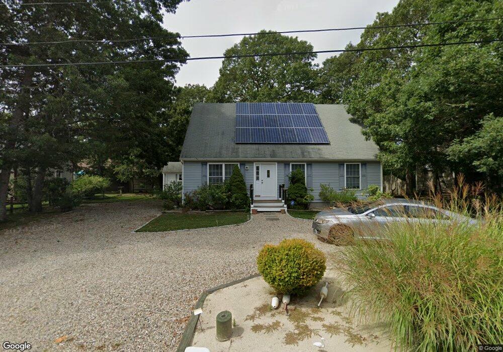
7 Robert Arthur Way South Dennis, MA 02660
South Dennis NeighborhoodEstimated Value: $679,000 - $768,000
3
Beds
3
Baths
1,749
Sq Ft
$415/Sq Ft
Est. Value
About This Home
This home is located at 7 Robert Arthur Way, South Dennis, MA 02660 and is currently estimated at $725,553, approximately $414 per square foot. 7 Robert Arthur Way is a home located in Barnstable County with nearby schools including Dennis-Yarmouth Regional High School and St. Pius X. School.
Ownership History
Date
Name
Owned For
Owner Type
Purchase Details
Closed on
Sep 12, 2016
Sold by
Rondeau James A
Bought by
Rondeau James A and Rondeau Matthew J
Current Estimated Value
Purchase Details
Closed on
Apr 20, 2001
Sold by
Chase Jeffery R
Bought by
Rondeau James A and Libert Elaine M
Home Financials for this Owner
Home Financials are based on the most recent Mortgage that was taken out on this home.
Original Mortgage
$48,000
Interest Rate
6.9%
Mortgage Type
Purchase Money Mortgage
Create a Home Valuation Report for This Property
The Home Valuation Report is an in-depth analysis detailing your home's value as well as a comparison with similar homes in the area
Home Values in the Area
Average Home Value in this Area
Purchase History
| Date | Buyer | Sale Price | Title Company |
|---|---|---|---|
| Rondeau James A | -- | -- | |
| Rondeau James A | $64,000 | -- |
Source: Public Records
Mortgage History
| Date | Status | Borrower | Loan Amount |
|---|---|---|---|
| Previous Owner | Rondeau James A | $48,000 |
Source: Public Records
Tax History Compared to Growth
Tax History
| Year | Tax Paid | Tax Assessment Tax Assessment Total Assessment is a certain percentage of the fair market value that is determined by local assessors to be the total taxable value of land and additions on the property. | Land | Improvement |
|---|---|---|---|---|
| 2025 | $2,933 | $677,400 | $132,200 | $545,200 |
| 2024 | $2,911 | $663,200 | $127,200 | $536,000 |
| 2023 | $2,844 | $608,900 | $115,600 | $493,300 |
| 2022 | $2,723 | $486,200 | $115,700 | $370,500 |
| 2021 | $2,640 | $437,800 | $113,400 | $324,400 |
| 2020 | $2,579 | $422,800 | $113,400 | $309,400 |
| 2019 | $2,498 | $404,900 | $122,300 | $282,600 |
| 2018 | $2,400 | $378,600 | $105,900 | $272,700 |
| 2017 | $2,328 | $378,600 | $105,900 | $272,700 |
| 2016 | $2,242 | $343,300 | $111,200 | $232,100 |
| 2015 | $2,197 | $343,300 | $111,200 | $232,100 |
| 2014 | $2,033 | $320,200 | $95,300 | $224,900 |
Source: Public Records
Map
Nearby Homes
- 153 Bayridge Dr
- 17 Margate Ln
- 11 Uncle Stanleys Way
- 4 Ebb Rd
- 15 Captain Jud Rd
- 17 Fairmount Rd
- 17 Fairmount Rd
- 10 Joanne Dr
- 118 Driftwood Ln
- 7 Vinland Dr
- 25 Skerry Rd
- 129 Driftwood Ln
- 13 Covey Dr
- 1 Norseman Dr
- 111 Merchant Ave
- 62 Old Fish House Rd
- 6 Hawthorn St
- 4 Old Colony Way
- 6 Nimble Hill Dr
- 32 Captain Walsh Dr
- 11 Robert Arthur Way
- 3 Robert Arthur Way
- 2 Olivia Walker Way
- 10 Olivia Walker Way
- 8 Robert Arthur Way
- 4 Robert Arthur Way
- 13 Robert Arthur Way
- 14 Robert Arthur Way
- 16 Olivia Walker Way
- 1 Nathalie Sayward Way
- 0 Robert Arthur Way
- 5 Olivia Walker Way
- 1 Olivia Walker Way
- 9 Olivia Walker Way
- 222 Mayfair Rd
- 214 Mayfair Rd
- 226 Mayfair Rd
- 11 Olivia Walker Way
- 20 Olivia Walker Way
- 218 Mayfair Rd