Estimated Value: $944,240 - $1,313,000
4
Beds
3
Baths
2,328
Sq Ft
$479/Sq Ft
Est. Value
About This Home
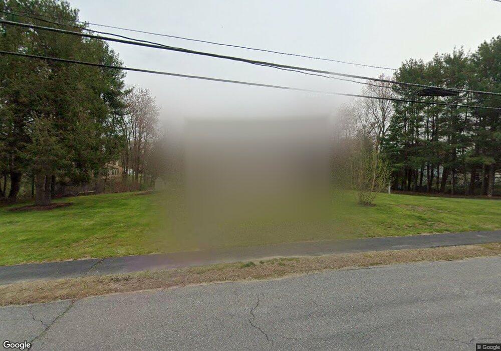
This home is located at 7 Robert Rd, Acton, MA 01720 and is currently estimated at $1,114,560, approximately $478 per square foot. 7 Robert Rd is a home located in Middlesex County with nearby schools including Acton-Boxborough Regional High School, Maynard Knowledge Beginnings, and The Imago School.
Ownership History
Date
Name
Owned For
Owner Type
Purchase Details
Closed on
Jun 12, 2008
Sold by
Kingsley John M and Kingsley Meilyn
Bought by
Maddahi Ali and Budaghzadeh Jilla
Current Estimated Value
Purchase Details
Closed on
Aug 31, 1987
Sold by
Shefsiek Paul K
Bought by
Hurley Brian E
Create a Home Valuation Report for This Property
The Home Valuation Report is an in-depth analysis detailing your home's value as well as a comparison with similar homes in the area
Home Values in the Area
Average Home Value in this Area
Purchase History
| Date | Buyer | Sale Price | Title Company |
|---|---|---|---|
| Maddahi Ali | $595,000 | -- | |
| Hurley Brian E | $320,000 | -- |
Source: Public Records
Mortgage History
| Date | Status | Borrower | Loan Amount |
|---|---|---|---|
| Open | Hurley Brian E | $435,000 | |
| Closed | Hurley Brian E | $414,000 |
Source: Public Records
Tax History
| Year | Tax Paid | Tax Assessment Tax Assessment Total Assessment is a certain percentage of the fair market value that is determined by local assessors to be the total taxable value of land and additions on the property. | Land | Improvement |
|---|---|---|---|---|
| 2025 | $14,862 | $866,600 | $361,000 | $505,600 |
| 2024 | $13,909 | $834,400 | $361,000 | $473,400 |
| 2023 | $13,769 | $784,100 | $328,300 | $455,800 |
| 2022 | $13,037 | $670,300 | $285,700 | $384,600 |
| 2021 | $12,715 | $628,500 | $264,200 | $364,300 |
| 2020 | $11,994 | $623,400 | $264,200 | $359,200 |
| 2019 | $11,595 | $598,600 | $264,200 | $334,400 |
| 2018 | $11,397 | $588,100 | $264,200 | $323,900 |
| 2017 | $11,110 | $582,900 | $264,200 | $318,700 |
| 2016 | $10,905 | $567,100 | $264,200 | $302,900 |
| 2015 | $10,868 | $570,500 | $264,200 | $306,300 |
| 2014 | $10,519 | $540,800 | $264,200 | $276,600 |
Source: Public Records
Map
Nearby Homes
- 3 Drummer Rd Unit B3
- 132 Parker St Unit G5
- 63 Conant St
- 31 Drummer Rd Unit 31
- 70 Powder Mill Rd
- 2 & 6 Powder Mill Rd
- 68 Powder Mill Rd
- 66 Powder Mill Rd
- 2 Marble Farm Rd
- 12 Brown St
- 30 Brewster Ln
- 19 Deer Path Unit 5
- 24 Deer Path Unit 5
- 17 Prospect St
- 37 Glendale St
- 96 Forest Ridge Rd Unit 96
- 40 High St
- 70 River St
- 28 Waltham St Unit A
- 29 Black Birch Ln Unit 29
Your Personal Tour Guide
Ask me questions while you tour the home.