7 Roberts Rd Billerica, MA 01821
Estimated Value: $625,000 - $675,769
2
Beds
2
Baths
1,398
Sq Ft
$467/Sq Ft
Est. Value
About This Home
This home is located at 7 Roberts Rd, Billerica, MA 01821 and is currently estimated at $652,192, approximately $466 per square foot. 7 Roberts Rd is a home located in Middlesex County with nearby schools including Billerica Memorial High School.
Ownership History
Date
Name
Owned For
Owner Type
Purchase Details
Closed on
Jun 7, 2004
Sold by
Forrest Peter A and Forrest Kathleen A
Bought by
Swinford Eric J and Gouthro Celine E
Current Estimated Value
Home Financials for this Owner
Home Financials are based on the most recent Mortgage that was taken out on this home.
Original Mortgage
$332,710
Outstanding Balance
$161,986
Interest Rate
5.94%
Mortgage Type
Purchase Money Mortgage
Estimated Equity
$490,206
Create a Home Valuation Report for This Property
The Home Valuation Report is an in-depth analysis detailing your home's value as well as a comparison with similar homes in the area
Home Values in the Area
Average Home Value in this Area
Purchase History
| Date | Buyer | Sale Price | Title Company |
|---|---|---|---|
| Swinford Eric J | $343,000 | -- |
Source: Public Records
Mortgage History
| Date | Status | Borrower | Loan Amount |
|---|---|---|---|
| Open | Swinford Eric J | $332,710 |
Source: Public Records
Tax History Compared to Growth
Tax History
| Year | Tax Paid | Tax Assessment Tax Assessment Total Assessment is a certain percentage of the fair market value that is determined by local assessors to be the total taxable value of land and additions on the property. | Land | Improvement |
|---|---|---|---|---|
| 2025 | $6,420 | $564,600 | $315,000 | $249,600 |
| 2024 | $6,130 | $543,000 | $305,000 | $238,000 |
| 2023 | $6,118 | $515,400 | $277,600 | $237,800 |
| 2022 | $5,467 | $432,500 | $237,200 | $195,300 |
| 2021 | $5,140 | $395,400 | $208,300 | $187,100 |
| 2020 | $5,030 | $387,200 | $200,100 | $187,100 |
| 2019 | $4,984 | $369,700 | $200,100 | $169,600 |
| 2018 | $4,776 | $336,600 | $177,900 | $158,700 |
| 2017 | $4,578 | $324,900 | $176,100 | $148,800 |
| 2016 | $4,521 | $319,700 | $172,000 | $147,700 |
| 2015 | $4,416 | $314,500 | $166,800 | $147,700 |
| 2014 | $4,446 | $311,100 | $161,600 | $149,500 |
Source: Public Records
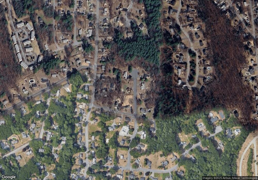
Map
Nearby Homes
- LOT 54B Beverly Rd
- 29 Fox Hill Rd
- 4 Market St
- 13 Heidi Ln
- 175 Pollard St
- 405 Boston Rd Unit 2
- 140 Pollard St
- 12 Stoney Dr
- 33 Pages Ct
- 13 Parker St
- 6 Magnolia Ave
- 79 Bridle Rd
- 37 Porter St
- 28 Kenmar Dr Unit 283
- 14 Kenmar Dr Unit 111
- 8 Brookdale Cir
- 5 Karen Cir Unit 16
- 18 Baldwin Rd
- 0 Fitzpatrick Ln
- 8 Corthell Rd