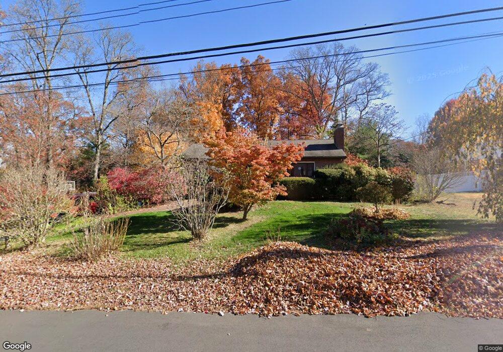
7 Robin Rd Farmington, CT 06032
Estimated Value: $430,845 - $559,000
3
Beds
3
Baths
1,625
Sq Ft
$308/Sq Ft
Est. Value
About This Home
This home is located at 7 Robin Rd, Farmington, CT 06032 and is currently estimated at $500,461, approximately $307 per square foot. 7 Robin Rd is a home located in Hartford County with nearby schools including East Farms School, West Woods Upper Elementary School, and Irving A. Robbins Middle School.
Ownership History
Date
Name
Owned For
Owner Type
Purchase Details
Closed on
Jan 8, 2002
Sold by
Getz Robert L and Getz Marcella P
Bought by
Watras James M and Watras Elena G
Current Estimated Value
Home Financials for this Owner
Home Financials are based on the most recent Mortgage that was taken out on this home.
Original Mortgage
$141,200
Interest Rate
7.25%
Purchase Details
Closed on
Dec 4, 1990
Sold by
Lazlo Robert F
Bought by
Getz Robert L
Create a Home Valuation Report for This Property
The Home Valuation Report is an in-depth analysis detailing your home's value as well as a comparison with similar homes in the area
Home Values in the Area
Average Home Value in this Area
Purchase History
| Date | Buyer | Sale Price | Title Company |
|---|---|---|---|
| Watras James M | $233,000 | -- | |
| Getz Robert L | $171,000 | -- |
Source: Public Records
Mortgage History
| Date | Status | Borrower | Loan Amount |
|---|---|---|---|
| Closed | Getz Robert L | $127,400 | |
| Closed | Getz Robert L | $141,200 |
Source: Public Records
Tax History
| Year | Tax Paid | Tax Assessment Tax Assessment Total Assessment is a certain percentage of the fair market value that is determined by local assessors to be the total taxable value of land and additions on the property. | Land | Improvement |
|---|---|---|---|---|
| 2025 | $6,347 | $238,420 | $94,290 | $144,130 |
| 2024 | $6,068 | $238,420 | $94,290 | $144,130 |
| 2023 | $5,772 | $238,420 | $94,290 | $144,130 |
| 2022 | $5,560 | $189,620 | $85,700 | $103,920 |
| 2021 | $5,463 | $189,620 | $85,700 | $103,920 |
| 2020 | $5,304 | $189,620 | $85,700 | $103,920 |
| 2019 | $5,304 | $189,620 | $85,700 | $103,920 |
| 2018 | $5,154 | $189,620 | $85,700 | $103,920 |
| 2017 | $4,745 | $177,830 | $84,000 | $93,830 |
| 2016 | $4,584 | $177,830 | $84,000 | $93,830 |
| 2015 | $4,448 | $177,830 | $84,000 | $93,830 |
| 2014 | $4,346 | $177,830 | $84,000 | $93,830 |
Source: Public Records
Map
Nearby Homes
- 5 Yorkshire Ct Unit 5
- 1 Yorkshire Ct Unit 1
- 138 Bradford Walk Unit 138
- 260 Brittany Farms Rd Unit B
- 300 Brittany Farms Rd Unit C
- 281 South Rd
- 235 Brittany Farms Rd Unit G
- 316 South Rd
- 169 Country Club Rd
- 178 Alexander Rd
- 20 Ridgeview Dr
- 124 Woodpond Rd
- 78 Birdseye Rd
- 5 Talcott Ridge Rd Unit F
- 38 Mildred Rd
- 21 Echo Ln
- 43 Crescent Ave
- 13 Byrne Ct Unit A
- 194 Sterling Dr
- 40 Hutchinson St
Your Personal Tour Guide
Ask me questions while you tour the home.