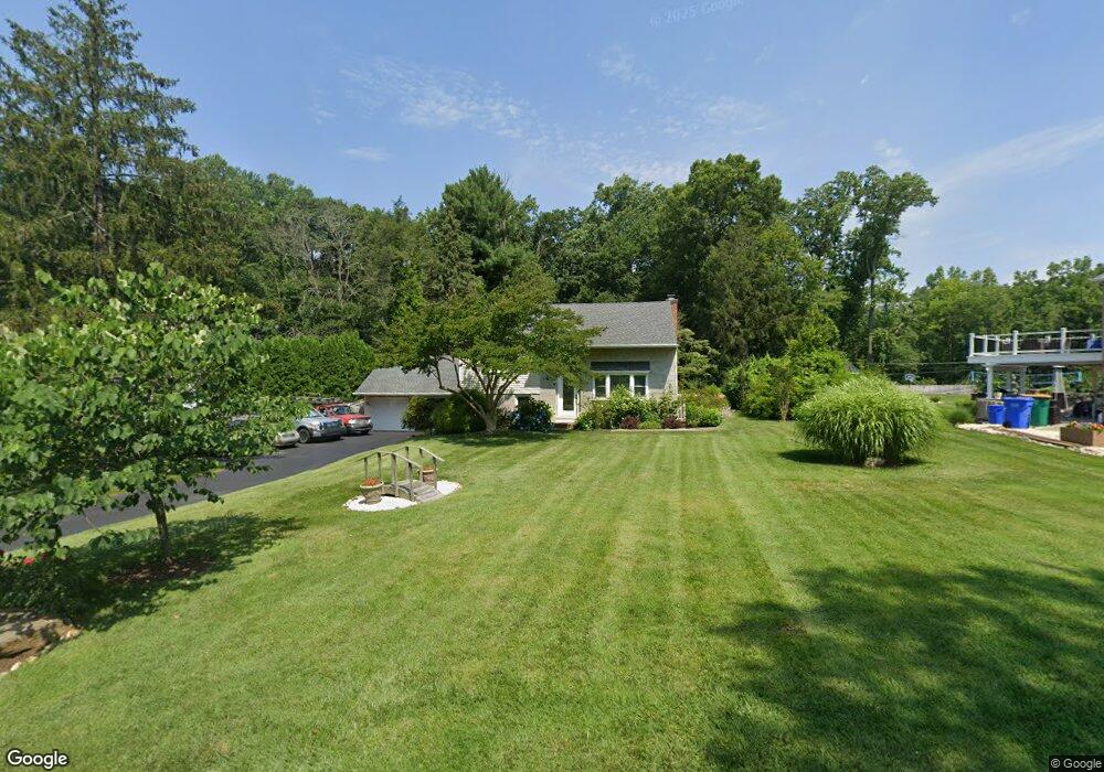
7 Robins Way Chadds Ford, PA 19317
Concord Township Delaware NeighborhoodEstimated Value: $497,509 - $618,000
4
Beds
1
Bath
1,836
Sq Ft
$310/Sq Ft
Est. Value
About This Home
This home is located at 7 Robins Way, Chadds Ford, PA 19317 and is currently estimated at $568,377, approximately $309 per square foot. 7 Robins Way is a home located in Delaware County with nearby schools including Garnet Valley High School, St Cornelius School, and The Pilot School.
Ownership History
Date
Name
Owned For
Owner Type
Purchase Details
Closed on
Apr 6, 1996
Sold by
Greene Thomas J and Greene Bluizer
Bought by
Powers Audrey L and Powers Richard D
Current Estimated Value
Home Financials for this Owner
Home Financials are based on the most recent Mortgage that was taken out on this home.
Original Mortgage
$140,849
Interest Rate
8.11%
Mortgage Type
FHA
Create a Home Valuation Report for This Property
The Home Valuation Report is an in-depth analysis detailing your home's value as well as a comparison with similar homes in the area
Home Values in the Area
Average Home Value in this Area
Purchase History
| Date | Buyer | Sale Price | Title Company |
|---|---|---|---|
| Powers Audrey L | $150,000 | -- |
Source: Public Records
Mortgage History
| Date | Status | Borrower | Loan Amount |
|---|---|---|---|
| Previous Owner | Powers Audrey L | $140,849 |
Source: Public Records
Tax History Compared to Growth
Tax History
| Year | Tax Paid | Tax Assessment Tax Assessment Total Assessment is a certain percentage of the fair market value that is determined by local assessors to be the total taxable value of land and additions on the property. | Land | Improvement |
|---|---|---|---|---|
| 2025 | $6,483 | $284,740 | $127,230 | $157,510 |
| 2024 | $6,483 | $284,740 | $127,230 | $157,510 |
| 2023 | $6,321 | $284,740 | $127,230 | $157,510 |
| 2022 | $6,251 | $284,740 | $127,230 | $157,510 |
| 2021 | $10,511 | $284,740 | $127,230 | $157,510 |
| 2020 | $5,573 | $141,030 | $60,450 | $80,580 |
| 2019 | $5,490 | $141,030 | $60,450 | $80,580 |
| 2018 | $5,406 | $141,030 | $0 | $0 |
| 2017 | $5,296 | $141,030 | $0 | $0 |
| 2016 | $774 | $141,030 | $0 | $0 |
| 2015 | $774 | $141,030 | $0 | $0 |
| 2014 | $774 | $141,030 | $0 | $0 |
Source: Public Records
Map
Nearby Homes
- 88 Summit Ave
- 86 Summit Ave
- 135 S Buck Tavern Way Unit 11501
- 129 S Buck Tavern Way Unit 11504
- 124 S Buck Tavern Way Unit 10903
- 119 S Buck Tavern Way
- 134 S Buck Tavern Way Unit 10803
- 138 S Buck Tavern Way
- 210 N Buck Tavern Way Unit 10603
- 6 Southview Path
- 348 Milton Stamp Dr
- 995 Smithbridge Rd
- 43 Sharpley Dr
- 45 Ridings Way
- 920 Lamberhurst Close
- 101 Ridings Blvd
- 136A State Line Rd
- 116 Landis Way N Unit 116
- 372 Cassell Ct
- 20 Hunters Way Unit 121