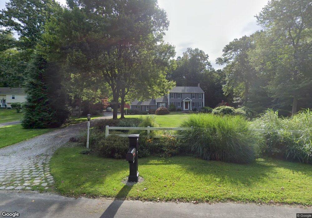
7 Rock Ridge Dr Old Saybrook, CT 06475
Estimated Value: $716,445 - $864,000
3
Beds
4
Baths
2,954
Sq Ft
$276/Sq Ft
Est. Value
About This Home
This home is located at 7 Rock Ridge Dr, Old Saybrook, CT 06475 and is currently estimated at $815,861, approximately $276 per square foot. 7 Rock Ridge Dr is a home located in Middlesex County with nearby schools including Kathleen E. Goodwin School, Old Saybrook Middle School, and Old Saybrook Senior High School.
Ownership History
Date
Name
Owned For
Owner Type
Purchase Details
Closed on
Jul 28, 2014
Sold by
Hanover Greg A and Hanover Carol M
Bought by
Murphy Andrew and Murphy Jennifer
Current Estimated Value
Home Financials for this Owner
Home Financials are based on the most recent Mortgage that was taken out on this home.
Original Mortgage
$361,600
Outstanding Balance
$276,439
Interest Rate
4.18%
Mortgage Type
New Conventional
Estimated Equity
$539,422
Purchase Details
Closed on
May 8, 1992
Sold by
Ritacco George and Ritacco Susan
Bought by
Hanover Greg A and Hanover Carol
Create a Home Valuation Report for This Property
The Home Valuation Report is an in-depth analysis detailing your home's value as well as a comparison with similar homes in the area
Home Values in the Area
Average Home Value in this Area
Purchase History
| Date | Buyer | Sale Price | Title Company |
|---|---|---|---|
| Murphy Andrew | $492,500 | -- | |
| Hanover Greg A | $180,000 | -- |
Source: Public Records
Mortgage History
| Date | Status | Borrower | Loan Amount |
|---|---|---|---|
| Open | Hanover Greg A | $361,600 | |
| Previous Owner | Hanover Greg A | $195,571 |
Source: Public Records
Tax History Compared to Growth
Tax History
| Year | Tax Paid | Tax Assessment Tax Assessment Total Assessment is a certain percentage of the fair market value that is determined by local assessors to be the total taxable value of land and additions on the property. | Land | Improvement |
|---|---|---|---|---|
| 2025 | $7,099 | $458,000 | $123,400 | $334,600 |
| 2024 | $6,799 | $447,300 | $123,400 | $323,900 |
| 2023 | $5,935 | $290,200 | $71,200 | $219,000 |
| 2022 | $5,827 | $290,200 | $71,200 | $219,000 |
| 2021 | $5,819 | $290,200 | $71,200 | $219,000 |
| 2020 | $5,819 | $290,200 | $71,200 | $219,000 |
| 2019 | $5,731 | $290,200 | $71,200 | $219,000 |
| 2018 | $6,002 | $306,200 | $63,400 | $242,800 |
| 2017 | $6,020 | $306,200 | $63,400 | $242,800 |
| 2016 | $5,897 | $306,200 | $66,400 | $239,800 |
| 2015 | $5,760 | $306,200 | $66,400 | $239,800 |
| 2014 | $5,665 | $306,200 | $66,400 | $239,800 |
Source: Public Records
Map
Nearby Homes
- 14 Denmore Ln
- 54 Lakeview Terrace
- 11 Orchard Path Unit 11
- 5 Fox Hollow Rd
- 26 Meadowood Ln
- 254 Hidden Cove Rd
- 17 Woodsedge Ln
- 1 Clark Ave
- 0 Merritt Ln
- 96 Chalker Beach Rd
- 118 Sandy Point Rd
- 133 Sandy Point Rd Unit 133
- 143 Sandy Point Rd Unit 143
- 155 Fawn Hill Dr
- 122 Old Post Rd
- 199 Toby Hill Rd
- 1469 Boston Post Rd Unit 19
- 60 Ingham Hill Rd
- 174 Nehantic Trail
- 83 Sagamore Terrace E
- 9 Rock Ridge Dr
- 3 Hillcrest Dr
- 5 Rock Ridge Dr
- 4 Rock Ridge Dr
- 5 Hillcrest Dr
- 6 Rock Ridge Dr
- 185 School House Rd
- 183 School House Rd
- 4 Hillcrest Dr
- 3 Wood Pond Ln
- 2 Rock Ridge Dr
- 7 Hillcrest Dr
- 8 Rock Ridge Dr
- 189 School House Rd
- 11 Hillcrest Dr
- 179 School House Rd
- 1 Wood Pond Ln
- 6 Hillcrest Dr
- 7 Wood Pond Ln
- 3 Davies Cir