7 Rolling Brook Rd Raymond, ME 04071
Estimated Value: $443,814 - $581,000
2
Beds
1
Bath
1,500
Sq Ft
$333/Sq Ft
Est. Value
About This Home
This home is located at 7 Rolling Brook Rd, Raymond, ME 04071 and is currently estimated at $499,204, approximately $332 per square foot. 7 Rolling Brook Rd is a home located in Cumberland County with nearby schools including Raymond Elementary School, Jordan-Small Middle School, and Windham High School.
Ownership History
Date
Name
Owned For
Owner Type
Purchase Details
Closed on
Dec 2, 2009
Sold by
Hilltop Land Dev & Gen Cont
Bought by
Boulanger Joshua P and Boulanger Jenelle M
Current Estimated Value
Home Financials for this Owner
Home Financials are based on the most recent Mortgage that was taken out on this home.
Original Mortgage
$202,523
Outstanding Balance
$132,841
Interest Rate
5.01%
Mortgage Type
FHA
Estimated Equity
$366,363
Create a Home Valuation Report for This Property
The Home Valuation Report is an in-depth analysis detailing your home's value as well as a comparison with similar homes in the area
Home Values in the Area
Average Home Value in this Area
Purchase History
| Date | Buyer | Sale Price | Title Company |
|---|---|---|---|
| Boulanger Joshua P | -- | -- |
Source: Public Records
Mortgage History
| Date | Status | Borrower | Loan Amount |
|---|---|---|---|
| Open | Boulanger Joshua P | $202,523 |
Source: Public Records
Tax History
| Year | Tax Paid | Tax Assessment Tax Assessment Total Assessment is a certain percentage of the fair market value that is determined by local assessors to be the total taxable value of land and additions on the property. | Land | Improvement |
|---|---|---|---|---|
| 2024 | $3,492 | $203,000 | $37,900 | $165,100 |
| 2023 | $3,228 | $203,000 | $37,900 | $165,100 |
| 2022 | $3,045 | $203,000 | $37,900 | $165,100 |
| 2021 | $2,862 | $203,000 | $37,900 | $165,100 |
| 2019 | $2,730 | $203,000 | $37,900 | $165,100 |
| 2018 | $2,558 | $203,000 | $37,900 | $165,100 |
| 2017 | $2,497 | $203,000 | $37,900 | $165,100 |
| 2016 | $2,456 | $203,000 | $37,900 | $165,100 |
| 2015 | $2,426 | $203,000 | $37,900 | $165,100 |
| 2014 | $2,395 | $203,000 | $37,900 | $165,100 |
| 2013 | $2,284 | $203,000 | $37,900 | $165,100 |
Source: Public Records
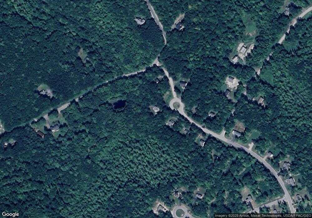
Map
Nearby Homes
- Lot 19 Thomas Pond Shore Rd
- 158 Libby Rd
- 26 Andrews Dr
- 101 Mitchell Rd
- 46 Red Mill Rd
- 1569 Roosevelt Trail
- 1525 Roosevelt Trail
- 17 Murray Dr
- 294 Quaker Ridge Rd
- 510 Roosevelt Trail
- 41 Haskell Ave
- 142 Lakewood Rd
- 34 Martha Rd
- 432 Meadow Rd
- 67 State Park Rd
- 99 Deep Cove Rd
- 261 Point Sebago Rd Unit 381
- 261 Point Sebago Rd Unit S0360
- 261 Point Sebago Rd Unit S0344
- 261 Point Sebago Rd Unit S0343
- Lot 7 Rolling Brook Rd
- Lot 9 Rolling Brook Rd
- Lot #41 Rolling Brook Rd
- 2 Rolling Brook Rd
- 19 Rolling Brook Rd
- Lot 5 Rolling Brook Rd
- 1 Rolling Brook Rd
- 1 Rolling Brook Rd
- 10 Rolling Brook Rd
- Lot 10 Rolling Brook Rd
- Lot 6 Rolling Brook
- Lot 4 Rolling Brook
- 8 Rolling Brook Rd
- 3 Rolling Brook Rd
- Lot 3 Rolling Brook Rd
- 8 Rolling Brook Rd
- Lot 2 Rolling Brook Rd
- 13 Overlook Rd
- 13 Overlook Ln
- 18 Rolling Brook Rd
Your Personal Tour Guide
Ask me questions while you tour the home.