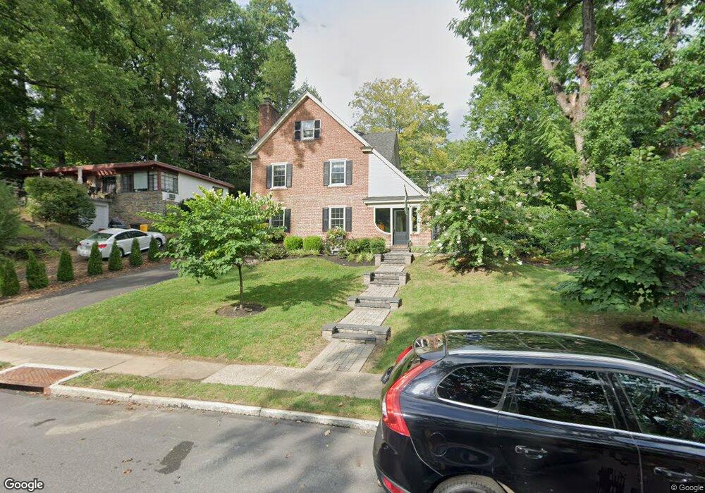
7 Rolling Rd Wynnewood, PA 19096
Penn Wynne NeighborhoodEstimated Value: $722,000 - $947,000
5
Beds
4
Baths
2,898
Sq Ft
$290/Sq Ft
Est. Value
About This Home
This home is located at 7 Rolling Rd, Wynnewood, PA 19096 and is currently estimated at $841,057, approximately $290 per square foot. 7 Rolling Rd is a home located in Montgomery County with nearby schools including Penn Wynne Elementary School, Bala-Cynwyd Middle School, and Lower Merion High School.
Ownership History
Date
Name
Owned For
Owner Type
Purchase Details
Closed on
Dec 18, 2003
Sold by
Baram Michael and Dubin Joseph W
Bought by
Downey Matthew and Downey Daneen E
Current Estimated Value
Home Financials for this Owner
Home Financials are based on the most recent Mortgage that was taken out on this home.
Original Mortgage
$256,000
Interest Rate
5.86%
Create a Home Valuation Report for This Property
The Home Valuation Report is an in-depth analysis detailing your home's value as well as a comparison with similar homes in the area
Home Values in the Area
Average Home Value in this Area
Purchase History
| Date | Buyer | Sale Price | Title Company |
|---|---|---|---|
| Downey Matthew | $320,000 | -- |
Source: Public Records
Mortgage History
| Date | Status | Borrower | Loan Amount |
|---|---|---|---|
| Previous Owner | Downey Matthew | $256,000 |
Source: Public Records
Tax History Compared to Growth
Tax History
| Year | Tax Paid | Tax Assessment Tax Assessment Total Assessment is a certain percentage of the fair market value that is determined by local assessors to be the total taxable value of land and additions on the property. | Land | Improvement |
|---|---|---|---|---|
| 2025 | $9,133 | $218,720 | $60,900 | $157,820 |
| 2024 | $9,133 | $218,720 | $60,900 | $157,820 |
| 2023 | $8,753 | $218,720 | $60,900 | $157,820 |
| 2022 | $8,591 | $218,720 | $60,900 | $157,820 |
| 2021 | $8,396 | $218,720 | $60,900 | $157,820 |
| 2020 | $8,191 | $218,720 | $60,900 | $157,820 |
| 2019 | $8,046 | $218,720 | $60,900 | $157,820 |
| 2018 | $8,046 | $218,720 | $60,900 | $157,820 |
| 2017 | $7,750 | $218,720 | $60,900 | $157,820 |
| 2016 | $7,665 | $218,720 | $60,900 | $157,820 |
| 2015 | $7,146 | $218,720 | $60,900 | $157,820 |
| 2014 | $7,146 | $218,720 | $60,900 | $157,820 |
Source: Public Records
Map
Nearby Homes
- 978 Township Line Rd
- 7661 Overbrook Ave
- 111 Harrogate Rd
- 7641 Brentwood Rd
- 1406 Greywall Ln
- 7530 Greenhill Rd
- 222 Harrogate Rd
- 1635 Pennington Rd
- 7519 Brookhaven Rd
- 7517 Brookhaven Rd
- 1460 Drayton Ln
- 7603 Woodcrest Ave
- 243 Rock Glen Rd
- 7649 Malvern Ave
- 6324 City Ave
- 7322 Drexel Rd
- 1354 Drayton Ln
- 1843-45 N 72nd St
- 171 N Carol Blvd
- 1218 Weymouth Rd
- 9 Rolling Rd
- 5 Rolling Rd
- 6 Overbrook Pkwy
- 8 Overbrook Pkwy
- 6 Rolling Rd
- 11 Rolling Rd
- 12 Overbrook Pkwy
- 4 Overbrook Pkwy
- 1 Rolling Rd
- 1024 Severn Ln
- 14 Overbrook Pkwy
- 15 Rolling Rd
- 2 Overbrook Pkwy
- 1017 Severn Ln
- 16 Overbrook Pkwy
- 14 Rolling Rd
- 1016 City Ave
- 1016 Township Line Rd
- 101 Old Forest Rd
- 19 Rolling Rd