7 Rome Rd Mercer, ME 04957
Estimated Value: $480,522 - $682,000
4
Beds
5
Baths
5,331
Sq Ft
$109/Sq Ft
Est. Value
About This Home
This home is located at 7 Rome Rd, Mercer, ME 04957 and is currently estimated at $581,261, approximately $109 per square foot. 7 Rome Rd is a home located in Somerset County.
Ownership History
Date
Name
Owned For
Owner Type
Purchase Details
Closed on
Jan 5, 2018
Sold by
Rich Secha M
Bought by
Zeif Mary and Patten Michelle B
Current Estimated Value
Home Financials for this Owner
Home Financials are based on the most recent Mortgage that was taken out on this home.
Original Mortgage
$22,000
Outstanding Balance
$18,556
Interest Rate
3.92%
Mortgage Type
New Conventional
Estimated Equity
$562,705
Purchase Details
Closed on
Nov 9, 2009
Sold by
Riveroaks Lp
Bought by
Rich Secha M
Purchase Details
Closed on
Apr 23, 2009
Sold by
Glynn Leland J
Bought by
Rich Secha M
Create a Home Valuation Report for This Property
The Home Valuation Report is an in-depth analysis detailing your home's value as well as a comparison with similar homes in the area
Home Values in the Area
Average Home Value in this Area
Purchase History
| Date | Buyer | Sale Price | Title Company |
|---|---|---|---|
| Zeif Mary | -- | -- | |
| Rich Secha M | -- | -- | |
| Rich Secha M | -- | -- |
Source: Public Records
Mortgage History
| Date | Status | Borrower | Loan Amount |
|---|---|---|---|
| Open | Zeif Mary | $22,000 |
Source: Public Records
Tax History Compared to Growth
Tax History
| Year | Tax Paid | Tax Assessment Tax Assessment Total Assessment is a certain percentage of the fair market value that is determined by local assessors to be the total taxable value of land and additions on the property. | Land | Improvement |
|---|---|---|---|---|
| 2024 | $4,178 | $397,900 | $70,900 | $327,000 |
| 2023 | $4,697 | $252,532 | $31,238 | $221,294 |
| 2022 | $4,445 | $252,532 | $31,238 | $221,294 |
| 2021 | $4,445 | $252,532 | $31,238 | $221,294 |
| 2020 | $4,373 | $248,461 | $29,738 | $218,723 |
| 2018 | $3,932 | $239,749 | $29,738 | $210,011 |
| 2017 | $3,834 | $239,749 | $29,738 | $210,011 |
| 2016 | $3,824 | $239,749 | $29,738 | $210,011 |
Source: Public Records
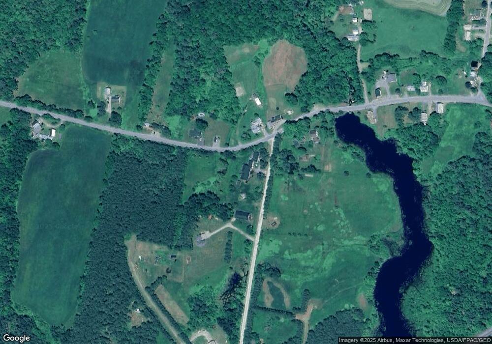
Map
Nearby Homes
- 510 Branns Mill Rd
- Lot 59&60 Starks Rd
- M18L13 Mercer Rd
- 331 Beans Corner Rd
- 0 Poor Farm Rd Unit 1637355
- 2679 Industry Rd
- M1 L19 Homestead Hill Rd
- 17 Anson Rd
- 137 Butterfield Rd
- 10 Trista Ln
- 735 Sandy River Rd
- 257 Sandy River Rd
- 35 Industry Rd
- Lot 1 Oak Hill Rd
- Lot 2 Oak Hill Rd
- 681 Mile Hill Rd
- Lot 30 U S Highway 2
- 33 Kimball Pond
- 55 Cape Cod Hill Rd
- 257 Sawyers Mills Rd
- 7 Rome Rd
- 7 Rome Rd
- lot 9 Rome
- Lot 14-7 Rome Road (West)
- Lot 14-3 Rome Road (West)
- Lot 14-4 Rome Road (West)
- 0 Rome Road Extension Unit 900991
- 0 Rome Road Extension Unit 900981
- 0 Rome Road (West) Unit 1032197
- 0 Rome Road (East) Unit 1032507
- 00 Rome Rd
- 105 Main St
- 17 Rome Rd
- 101 Main St
- 117 Main St
- 96 Main St
- 25 Rome Rd
- 131 Main St
- Lot 5 Rome (Riveroaks Lane) Rd
- 80 Main St