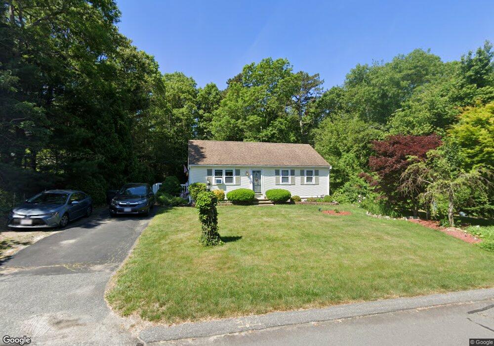
7 Sconset Cir Sandwich, MA 02563
Estimated Value: $486,000 - $550,000
2
Beds
1
Bath
912
Sq Ft
$568/Sq Ft
Est. Value
About This Home
This home is located at 7 Sconset Cir, Sandwich, MA 02563 and is currently estimated at $517,711, approximately $567 per square foot. 7 Sconset Cir is a home located in Barnstable County with nearby schools including Sandwich Middle High School and Sandwich Montessori School.
Ownership History
Date
Name
Owned For
Owner Type
Purchase Details
Closed on
Oct 23, 1991
Sold by
Barnstable Hldng Co Ic
Bought by
Maccormack Richard J and Maccormack Lori J
Current Estimated Value
Home Financials for this Owner
Home Financials are based on the most recent Mortgage that was taken out on this home.
Original Mortgage
$73,600
Interest Rate
8.98%
Mortgage Type
Purchase Money Mortgage
Create a Home Valuation Report for This Property
The Home Valuation Report is an in-depth analysis detailing your home's value as well as a comparison with similar homes in the area
Purchase History
| Date | Buyer | Sale Price | Title Company |
|---|---|---|---|
| Maccormack Richard J | $78,000 | -- |
Source: Public Records
Mortgage History
| Date | Status | Borrower | Loan Amount |
|---|---|---|---|
| Open | Maccormack Richard J | $30,000 | |
| Open | Maccormack Richard J | $81,500 | |
| Closed | Maccormack Richard J | $73,600 |
Source: Public Records
Tax History
| Year | Tax Paid | Tax Assessment Tax Assessment Total Assessment is a certain percentage of the fair market value that is determined by local assessors to be the total taxable value of land and additions on the property. | Land | Improvement |
|---|---|---|---|---|
| 2025 | $4,543 | $429,800 | $169,700 | $260,100 |
| 2024 | $4,289 | $397,100 | $151,600 | $245,500 |
| 2023 | $4,185 | $363,900 | $137,800 | $226,100 |
| 2022 | $4,020 | $305,500 | $123,000 | $182,500 |
| 2021 | $3,865 | $280,700 | $118,300 | $162,400 |
| 2020 | $3,857 | $269,500 | $115,500 | $154,000 |
| 2019 | $3,481 | $243,100 | $98,600 | $144,500 |
| 2018 | $3,284 | $229,800 | $95,200 | $134,600 |
| 2017 | $3,255 | $218,000 | $92,200 | $125,800 |
| 2016 | $3,120 | $215,600 | $91,300 | $124,300 |
| 2015 | $3,023 | $204,000 | $82,200 | $121,800 |
Source: Public Records
Map
Nearby Homes
- 36 Moon Compass Ln
- 9 Viking Ln
- 24 Widow Coombs Walk
- 58 Southpoint Dr Unit J
- 48 Holly Ridge Dr
- 113 Farmersville Rd
- 93 Deerfield Rd
- 2 Open Space Dr
- 544 Cotuit Rd
- 19 Oriole Ln
- 185 Cotuit Rd Unit JP1
- 185 Cotuit Rd Unit C5 Aspen
- 6 Santuit Pond Rd
- 35 Santuit Pond Way Unit 7B
- 16 Newtown Rd
- 4 Lan Rd
- 315 Blackthorn Rd
- 68 Fox Hill Rd
- 10 Candlewood Ln
- 22 Candlewood Ln
Your Personal Tour Guide
Ask me questions while you tour the home.