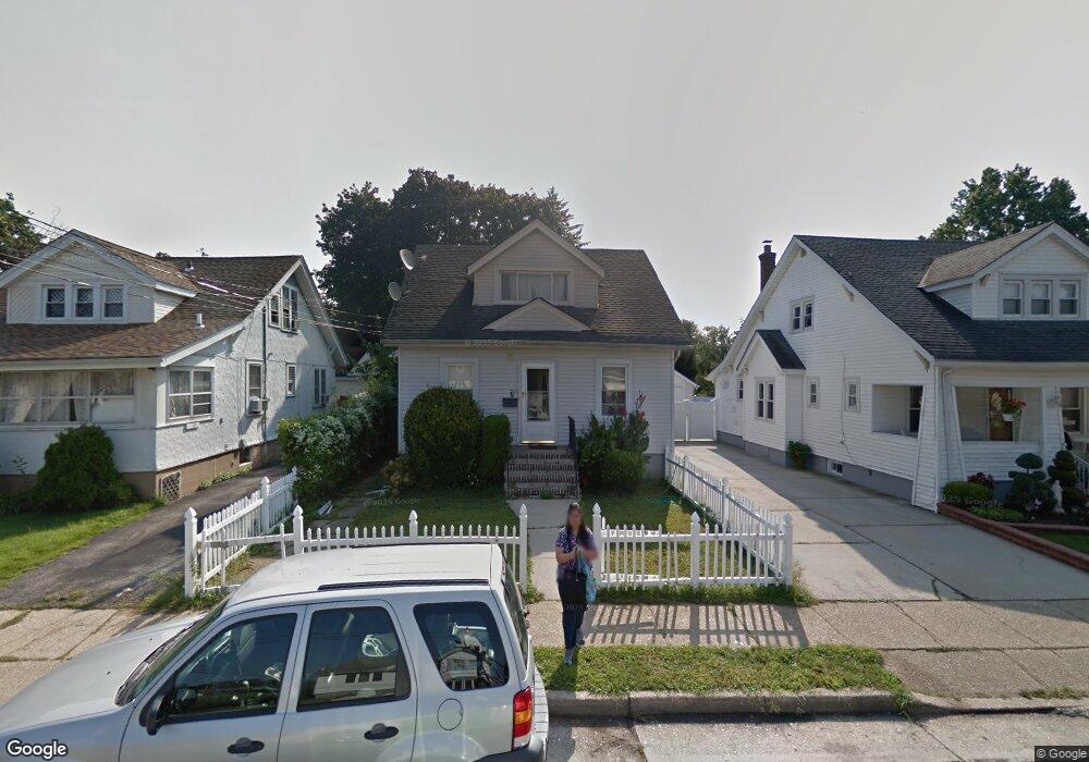
7 Searing St Hempstead, NY 11550
Estimated Value: $634,991 - $679,000
5
Beds
3
Baths
1,121
Sq Ft
$586/Sq Ft
Est. Value
About This Home
This home is located at 7 Searing St, Hempstead, NY 11550 and is currently estimated at $656,996, approximately $586 per square foot. 7 Searing St is a home located in Nassau County with nearby schools including Northern Parkway Elementary School, Lawrence Road Middle School, and Uniondale High School.
Ownership History
Date
Name
Owned For
Owner Type
Purchase Details
Closed on
Feb 14, 2019
Sold by
Argueta Ana and Argueta Jorge
Bought by
Pasco Paulo C
Current Estimated Value
Home Financials for this Owner
Home Financials are based on the most recent Mortgage that was taken out on this home.
Original Mortgage
$313,500
Outstanding Balance
$275,061
Interest Rate
4.4%
Mortgage Type
New Conventional
Estimated Equity
$381,935
Purchase Details
Closed on
Jun 10, 2005
Sold by
Mcgowan Lena
Bought by
Argueta Jorge
Create a Home Valuation Report for This Property
The Home Valuation Report is an in-depth analysis detailing your home's value as well as a comparison with similar homes in the area
Home Values in the Area
Average Home Value in this Area
Purchase History
| Date | Buyer | Sale Price | Title Company |
|---|---|---|---|
| Pasco Paulo C | $330,000 | Judicial Title | |
| Argueta Jorge | $360,000 | -- |
Source: Public Records
Mortgage History
| Date | Status | Borrower | Loan Amount |
|---|---|---|---|
| Open | Pasco Paulo C | $313,500 |
Source: Public Records
Tax History
| Year | Tax Paid | Tax Assessment Tax Assessment Total Assessment is a certain percentage of the fair market value that is determined by local assessors to be the total taxable value of land and additions on the property. | Land | Improvement |
|---|---|---|---|---|
| 2025 | $5,587 | $348 | $163 | $185 |
| 2024 | $857 | $348 | $163 | $185 |
Source: Public Records
Map
Nearby Homes
- 355 Jerusalem Ave
- 63 Elmwood Ave
- 203 Rutland Rd
- 183 Perry St
- 178 Rutland Rd
- 602 Leonard Ave
- 15 Clyde Ave
- 244 Brown Ave
- 664 Clinton Ave
- 399 Hawthorne Ave
- 160 Argyle Ave
- 172 Argyle Ave
- 363 Clarendon Rd
- 41 Perry St
- 678 Front St Unit E
- 48 Cliff Ave
- 43 Macdonald St
- 676 Front St Unit F
- 3 Tompkins Place
- 39 Acacia Ave
Your Personal Tour Guide
Ask me questions while you tour the home.