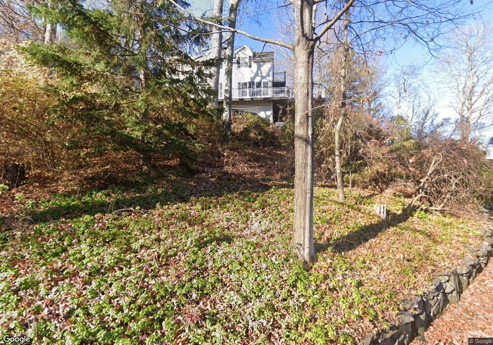
7 Shad Blow Rd New Fairfield, CT 06812
Estimated Value: $591,000 - $648,000
3
Beds
3
Baths
2,200
Sq Ft
$279/Sq Ft
Est. Value
About This Home
This home is located at 7 Shad Blow Rd, New Fairfield, CT 06812 and is currently estimated at $612,943, approximately $278 per square foot. 7 Shad Blow Rd is a home located in Fairfield County with nearby schools including Meeting House Hill School, New Fairfield Middle School, and New Fairfield High School.
Ownership History
Date
Name
Owned For
Owner Type
Purchase Details
Closed on
May 22, 2012
Sold by
Est Pettersen Marybeth and Pettersen Amanda
Bought by
Riter Gregory K and Riter Christine C
Current Estimated Value
Purchase Details
Closed on
Sep 12, 2003
Sold by
Mcgee Michael S and Mcgee Judy
Bought by
Riter Gregory K and Riter Christine C
Create a Home Valuation Report for This Property
The Home Valuation Report is an in-depth analysis detailing your home's value as well as a comparison with similar homes in the area
Home Values in the Area
Average Home Value in this Area
Purchase History
| Date | Buyer | Sale Price | Title Company |
|---|---|---|---|
| Riter Gregory K | -- | -- | |
| Riter Gregory K | -- | -- | |
| Riter Gregory K | -- | -- | |
| Riter Gregory K | $355,500 | -- |
Source: Public Records
Mortgage History
| Date | Status | Borrower | Loan Amount |
|---|---|---|---|
| Previous Owner | Riter Gregory K | $335,951 | |
| Previous Owner | Riter Gregory K | $82,700 |
Source: Public Records
Tax History Compared to Growth
Tax History
| Year | Tax Paid | Tax Assessment Tax Assessment Total Assessment is a certain percentage of the fair market value that is determined by local assessors to be the total taxable value of land and additions on the property. | Land | Improvement |
|---|---|---|---|---|
| 2025 | $8,955 | $340,100 | $130,500 | $209,600 |
| 2024 | $8,009 | $219,300 | $111,100 | $108,200 |
| 2023 | $7,654 | $219,300 | $111,100 | $108,200 |
| 2022 | $7,121 | $219,300 | $111,100 | $108,200 |
| 2021 | $6,906 | $219,300 | $111,100 | $108,200 |
| 2020 | $6,706 | $219,300 | $111,100 | $108,200 |
| 2019 | $7,153 | $231,500 | $114,200 | $117,300 |
| 2018 | $7,079 | $231,500 | $114,200 | $117,300 |
| 2017 | $6,903 | $231,500 | $114,200 | $117,300 |
| 2016 | $6,639 | $231,500 | $114,200 | $117,300 |
| 2015 | $6,639 | $231,500 | $114,200 | $117,300 |
| 2014 | $6,736 | $258,300 | $126,400 | $131,900 |
Source: Public Records
Map
Nearby Homes
- 35 Candle Hill Rd
- 14 Cherry Dr
- 15 Flak Ln
- 256 State Route 39
- 8 Heritage Island Rd
- 15 Misty Brook Ln
- 4 Harbour View Dr
- 32 Sail Harbour Dr
- 7 Candle Hill Rd
- 54 Lavelle Ave
- 2 Pleasant View Rd
- 5 Sail Harbour Dr
- 155 Shortwoods Rd
- 153 Shortwoods Rd
- 11 Knollcrest Rd
- 35 Skyline Dr
- 0 Wagon Wheel Rd Unit 24065102
- 0 Rte 39 South State Route
- 3 Alexandra Dr
- 1 Pine Crest Ln