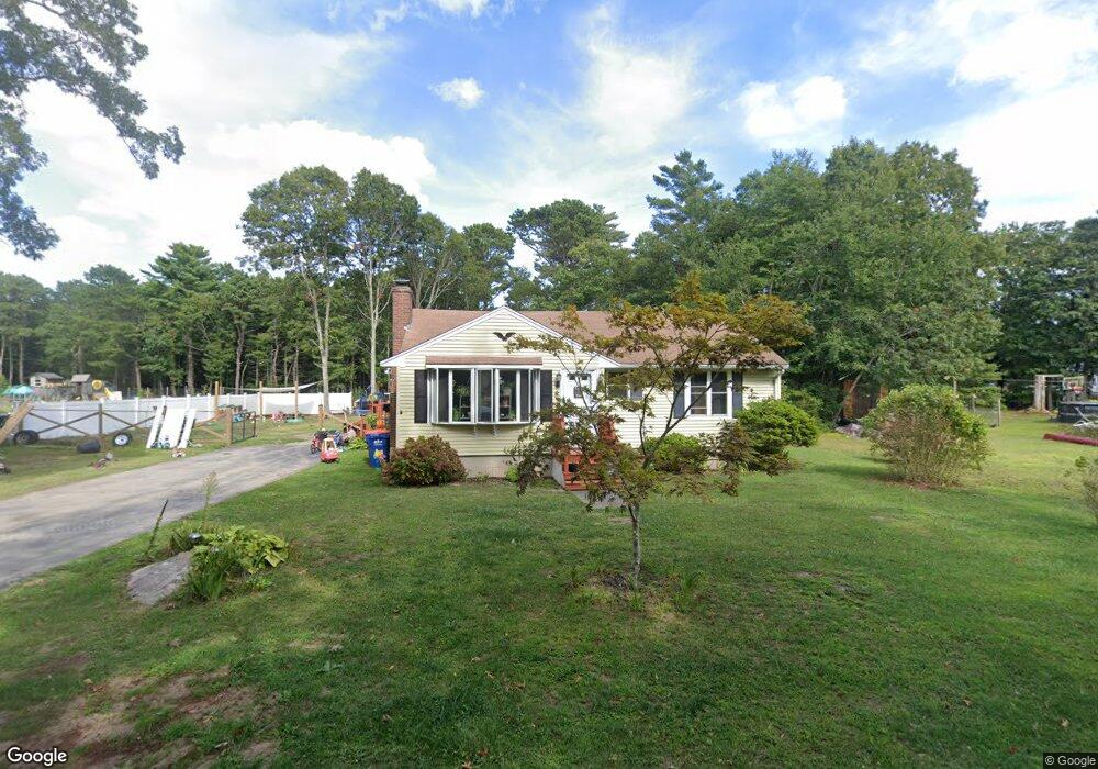
7 Shawnee Dr Buzzards Bay, MA 02532
Estimated Value: $456,522 - $501,000
2
Beds
1
Bath
1,034
Sq Ft
$455/Sq Ft
Est. Value
About This Home
This home is located at 7 Shawnee Dr, Buzzards Bay, MA 02532 and is currently estimated at $470,131, approximately $454 per square foot. 7 Shawnee Dr is a home.
Ownership History
Date
Name
Owned For
Owner Type
Purchase Details
Closed on
Nov 15, 2023
Sold by
Musiol Paul and Musiol Cheryl A
Bought by
Lowe Jared D and Taylor Karen E
Current Estimated Value
Home Financials for this Owner
Home Financials are based on the most recent Mortgage that was taken out on this home.
Original Mortgage
$407,483
Outstanding Balance
$400,043
Interest Rate
7.75%
Mortgage Type
FHA
Estimated Equity
$70,088
Purchase Details
Closed on
Sep 8, 1998
Sold by
Eaton John D and Eaton Donna L
Bought by
Eaton Donna
Home Financials for this Owner
Home Financials are based on the most recent Mortgage that was taken out on this home.
Original Mortgage
$40,000
Interest Rate
6.9%
Mortgage Type
Purchase Money Mortgage
Create a Home Valuation Report for This Property
The Home Valuation Report is an in-depth analysis detailing your home's value as well as a comparison with similar homes in the area
Purchase History
| Date | Buyer | Sale Price | Title Company |
|---|---|---|---|
| Lowe Jared D | $415,000 | None Available | |
| Lowe Jared D | $415,000 | None Available | |
| Lowe Jared D | $415,000 | None Available | |
| Eaton Donna | $40,000 | -- | |
| Eaton Donna | $40,000 | -- |
Source: Public Records
Mortgage History
| Date | Status | Borrower | Loan Amount |
|---|---|---|---|
| Open | Lowe Jared D | $407,483 | |
| Closed | Lowe Jared D | $407,483 | |
| Previous Owner | Eaton Donna | $316,500 | |
| Previous Owner | Eaton Donna | $40,000 |
Source: Public Records
Tax History
| Year | Tax Paid | Tax Assessment Tax Assessment Total Assessment is a certain percentage of the fair market value that is determined by local assessors to be the total taxable value of land and additions on the property. | Land | Improvement |
|---|---|---|---|---|
| 2025 | $3,848 | $350,500 | $110,100 | $240,400 |
| 2024 | $3,822 | $327,200 | $87,700 | $239,500 |
| 2023 | $3,415 | $292,600 | $79,700 | $212,900 |
| 2022 | $3,415 | $250,700 | $79,700 | $171,000 |
| 2021 | $3,401 | $242,900 | $79,700 | $163,200 |
| 2020 | $3,151 | $229,800 | $79,700 | $150,100 |
| 2019 | $2,803 | $206,700 | $80,800 | $125,900 |
| 2018 | $2,680 | $190,900 | $80,800 | $110,100 |
| 2017 | $2,511 | $179,600 | $80,800 | $98,800 |
| 2016 | $2,339 | $166,000 | $80,800 | $85,200 |
| 2015 | $2,274 | $166,000 | $80,800 | $85,200 |
| 2014 | $2,293 | $172,500 | $76,800 | $95,700 |
Source: Public Records
Map
Nearby Homes
- 67 Algonquin St
- 60 Martin St
- 3132 Cranberry Hwy Unit 59
- 29 Wenonah Rd
- 29 Wenonah Rd
- 22 Long Neck Rd
- 92 Choctaw Dr
- 13 Bay Pointe Drive Extension
- 13 Bay Pointe Drive Extension Unit 13
- 1 Downey St
- 3 Fairway Dr Unit F
- 3040 Cranberry Hwy Unit 41
- 3040 Cranberry Hwy Unit 16
- 3040 Cranberry Hwy Unit 32
- 4 22nd St
- 11 Buzzards Bay Dr
- 11 22nd St
- Lot 108 21st St
- 29 Walnut St
- 23 Starboard Dr Unit Lot 50
- 33 Algonquin St Unit 1
- 33 Algonquin St
- 5 Shawnee Dr
- 9 Shawnee Dr
- 8 Shawnee Dr
- 12 Shawnee Dr
- 2 Shawnee Dr
- 28 Red Brook Rd
- 60 Algonquin St
- 4 Sonny Ln
- 4 Sonny Ln
- 30 Red Brook Rd
- 34 Red Brook Rd
- 34 Red Brook Rd Unit 1
- 22 Redwood Park
- 23 Red Brook Rd
- 23 Red Brook Rd
- 19 Red Brook Rd
- 20 Red Brook Rd
- 32 Arrowhead Dr
Your Personal Tour Guide
Ask me questions while you tour the home.