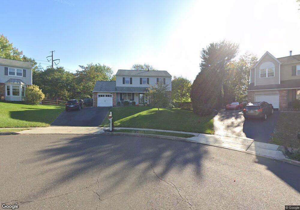
7 Shawnee Ln Royersford, PA 19468
Estimated Value: $495,000 - $514,000
4
Beds
3
Baths
1,980
Sq Ft
$255/Sq Ft
Est. Value
About This Home
This home is located at 7 Shawnee Ln, Royersford, PA 19468 and is currently estimated at $505,666, approximately $255 per square foot. 7 Shawnee Ln is a home located in Montgomery County with nearby schools including Upper Providence Elementary School, Spring-Ford Middle School 5/6/7 Grade Center, and Spring-Ford Middle School 8th Grade Center.
Ownership History
Date
Name
Owned For
Owner Type
Purchase Details
Closed on
Mar 30, 2007
Sold by
Warfel Randy L
Bought by
Finnegan Margaret C and Finnegan Matthew L
Current Estimated Value
Home Financials for this Owner
Home Financials are based on the most recent Mortgage that was taken out on this home.
Original Mortgage
$228,000
Outstanding Balance
$138,536
Interest Rate
6.24%
Estimated Equity
$367,130
Purchase Details
Closed on
May 2, 2003
Sold by
Warfel Margaret A and Warfel Randy L
Bought by
Warfel Randy L
Purchase Details
Closed on
May 20, 1999
Sold by
Sosnowy Eugene D and Sosnowy Patricia M
Bought by
Warfel Randy L and Warfel Margaret A
Create a Home Valuation Report for This Property
The Home Valuation Report is an in-depth analysis detailing your home's value as well as a comparison with similar homes in the area
Home Values in the Area
Average Home Value in this Area
Purchase History
| Date | Buyer | Sale Price | Title Company |
|---|---|---|---|
| Finnegan Margaret C | $285,000 | None Available | |
| Warfel Randy L | -- | -- | |
| Warfel Randy L | $148,000 | -- |
Source: Public Records
Mortgage History
| Date | Status | Borrower | Loan Amount |
|---|---|---|---|
| Open | Finnegan Margaret C | $228,000 |
Source: Public Records
Tax History Compared to Growth
Tax History
| Year | Tax Paid | Tax Assessment Tax Assessment Total Assessment is a certain percentage of the fair market value that is determined by local assessors to be the total taxable value of land and additions on the property. | Land | Improvement |
|---|---|---|---|---|
| 2025 | $5,723 | $148,440 | $44,780 | $103,660 |
| 2024 | $5,723 | $148,440 | $44,780 | $103,660 |
| 2023 | $5,462 | $148,440 | $44,780 | $103,660 |
| 2022 | $5,277 | $148,440 | $44,780 | $103,660 |
| 2021 | $4,959 | $148,440 | $44,780 | $103,660 |
| 2020 | $4,828 | $148,440 | $44,780 | $103,660 |
| 2019 | $4,737 | $148,440 | $44,780 | $103,660 |
| 2018 | $3,987 | $148,440 | $44,780 | $103,660 |
| 2017 | $4,645 | $148,440 | $44,780 | $103,660 |
| 2016 | $4,587 | $148,440 | $44,780 | $103,660 |
| 2015 | $4,381 | $148,440 | $44,780 | $103,660 |
| 2014 | $4,290 | $148,440 | $44,780 | $103,660 |
Source: Public Records
Map
Nearby Homes
- 19 Iroquois Dr
- 484 Fruit Farm Rd
- 184 Providence Forge Rd
- 209 Old State Rd
- 96 Providence Forge Rd
- 107 Beacon Ct Unit 10104
- 103 Beacon Ct Unit 10102
- 123 Beacon Ct Unit 10205
- 149 Roboda Blvd
- Granton Plan at Lewis Pointe
- 104 Beacon Ct Unit 10403
- 118 Fox Run Dr
- 36 Roboda Blvd
- 51 Roboda Blvd
- 7 Paddington Rd
- 860 Sagebrush Ln
- 408 Emmett Ct
- 406 Emmett Ct
- 404 Emmett Ct
- 408 Emmitt Ct