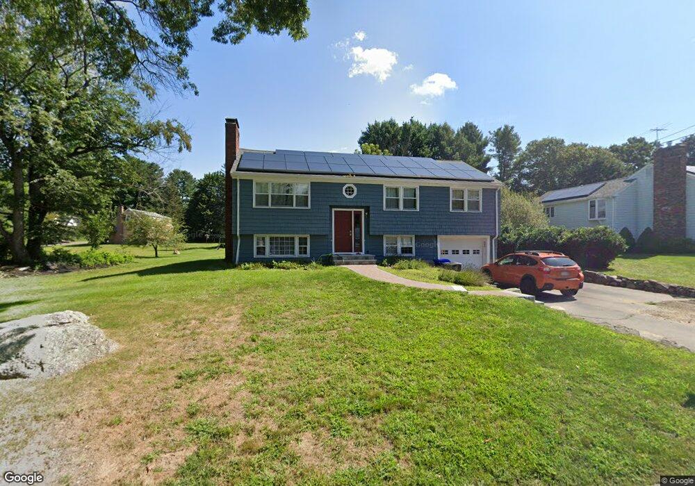
7 Sheridan Rd Bedford, MA 01730
Estimated Value: $852,837 - $1,005,000
3
Beds
2
Baths
1,318
Sq Ft
$710/Sq Ft
Est. Value
About This Home
This home is located at 7 Sheridan Rd, Bedford, MA 01730 and is currently estimated at $935,459, approximately $709 per square foot. 7 Sheridan Rd is a home located in Middlesex County with nearby schools including Lt. Elezer Davis Elementary School, Lt .Job Lane Elementary School, and John Glenn Middle School.
Ownership History
Date
Name
Owned For
Owner Type
Purchase Details
Closed on
May 19, 2017
Sold by
Howard Richard C and Howard Amanda
Bought by
Hall Brandon S and Hall Kristin
Current Estimated Value
Home Financials for this Owner
Home Financials are based on the most recent Mortgage that was taken out on this home.
Original Mortgage
$480,000
Outstanding Balance
$399,179
Interest Rate
4.1%
Mortgage Type
New Conventional
Estimated Equity
$536,280
Purchase Details
Closed on
Apr 3, 2014
Sold by
Hall Kenneth A and Hall Connie M
Bought by
Howard Richard C and Howard Amanda
Home Financials for this Owner
Home Financials are based on the most recent Mortgage that was taken out on this home.
Original Mortgage
$439,200
Interest Rate
4.33%
Mortgage Type
New Conventional
Create a Home Valuation Report for This Property
The Home Valuation Report is an in-depth analysis detailing your home's value as well as a comparison with similar homes in the area
Home Values in the Area
Average Home Value in this Area
Purchase History
| Date | Buyer | Sale Price | Title Company |
|---|---|---|---|
| Hall Brandon S | $600,000 | -- | |
| Howard Richard C | $430,000 | -- |
Source: Public Records
Mortgage History
| Date | Status | Borrower | Loan Amount |
|---|---|---|---|
| Open | Hall Brandon S | $480,000 | |
| Previous Owner | Howard Richard C | $439,200 |
Source: Public Records
Tax History Compared to Growth
Tax History
| Year | Tax Paid | Tax Assessment Tax Assessment Total Assessment is a certain percentage of the fair market value that is determined by local assessors to be the total taxable value of land and additions on the property. | Land | Improvement |
|---|---|---|---|---|
| 2025 | $89 | $735,800 | $490,500 | $245,300 |
| 2024 | $8,324 | $700,700 | $467,100 | $233,600 |
| 2023 | $8,128 | $651,300 | $441,200 | $210,100 |
| 2022 | $8,623 | $635,000 | $432,500 | $202,500 |
| 2021 | $6,102 | $626,400 | $423,900 | $202,500 |
| 2020 | $18,139 | $626,400 | $423,900 | $202,500 |
| 2019 | $8,087 | $624,000 | $423,900 | $200,100 |
| 2018 | $6,332 | $557,400 | $370,600 | $186,800 |
| 2017 | $7,186 | $485,200 | $298,400 | $186,800 |
| 2016 | $6,819 | $446,282 | $259,500 | $186,782 |
| 2015 | $6,438 | $440,382 | $259,500 | $180,882 |
| 2014 | $6,154 | $391,700 | $222,300 | $169,400 |
Source: Public Records
Map
Nearby Homes
- 6 Parker Rd
- 5 Clark Rd
- 86 Butternut Cir
- 644 Old Bedford Rd
- 22 Selfridge Rd
- 28 Hatch Farm Ln
- 10 Hatch Farm Ln
- 16 Hatch Farm Ln
- 58 Peter Spring Rd
- 5 Aspen Cir
- 1437-3 Monument St
- 62 Carlisle Rd
- 267 Carlisle Rd
- 210 Monument Farm Rd
- 96 Independence Rd
- 22 Springs Rd
- 25 Pickman Dr Unit 25
- 140 Revolutionary Rd
- 36 Loomis St Unit 104
- 36 Loomis St Unit 301