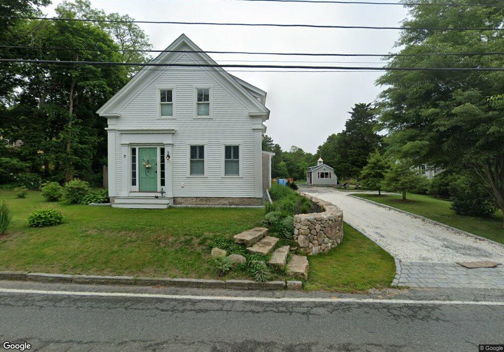
7 Shore Rd Bourne, MA 02532
Estimated Value: $652,000 - $870,000
3
Beds
3
Baths
1,652
Sq Ft
$456/Sq Ft
Est. Value
About This Home
This home is located at 7 Shore Rd, Bourne, MA 02532 and is currently estimated at $754,069, approximately $456 per square foot. 7 Shore Rd is a home located in Barnstable County with nearby schools including Bourne High School, St Margaret Regional School, and Cadence Academy Preschool - Bourne.
Ownership History
Date
Name
Owned For
Owner Type
Purchase Details
Closed on
Dec 21, 2016
Sold by
7 Shore Road Llc
Bought by
Duberger Donald M
Current Estimated Value
Home Financials for this Owner
Home Financials are based on the most recent Mortgage that was taken out on this home.
Original Mortgage
$152,511
Outstanding Balance
$121,711
Interest Rate
3.57%
Mortgage Type
New Conventional
Estimated Equity
$632,358
Purchase Details
Closed on
Jun 13, 2016
Sold by
7 Shore Road Llc
Bought by
Milano Edward and Milano Virginia
Home Financials for this Owner
Home Financials are based on the most recent Mortgage that was taken out on this home.
Original Mortgage
$289,000
Interest Rate
3.66%
Mortgage Type
New Conventional
Purchase Details
Closed on
Jun 6, 2014
Sold by
Neal Nt and Neal
Bought by
7 Shore Road Llc
Purchase Details
Closed on
Sep 13, 2013
Sold by
Neal David G and Neal Gordon S
Bought by
Neal Nt and Neal
Purchase Details
Closed on
Jun 20, 2013
Sold by
Allen Lawrence and Allen Larry
Bought by
Neal Nt and Neal
Create a Home Valuation Report for This Property
The Home Valuation Report is an in-depth analysis detailing your home's value as well as a comparison with similar homes in the area
Purchase History
| Date | Buyer | Sale Price | Title Company |
|---|---|---|---|
| Duberger Donald M | $150,000 | -- | |
| Duberger Donald M | $150,000 | -- | |
| Milano Edward | $389,000 | -- | |
| Milano Edward | $389,000 | -- | |
| 7 Shore Road Llc | $227,500 | -- | |
| 7 Shore Road Llc | $227,500 | -- | |
| Neal Nt | -- | -- | |
| Neal Nt | -- | -- | |
| Neal Nt | $120,000 | -- | |
| Neal Nt | $120,000 | -- |
Source: Public Records
Mortgage History
| Date | Status | Borrower | Loan Amount |
|---|---|---|---|
| Open | Duberger Donald M | $152,511 | |
| Closed | Duberger Donald M | $152,511 | |
| Previous Owner | Milano Edward | $289,000 |
Source: Public Records
Tax History
| Year | Tax Paid | Tax Assessment Tax Assessment Total Assessment is a certain percentage of the fair market value that is determined by local assessors to be the total taxable value of land and additions on the property. | Land | Improvement |
|---|---|---|---|---|
| 2025 | $5,493 | $703,300 | $204,600 | $498,700 |
| 2024 | $5,072 | $632,400 | $194,800 | $437,600 |
| 2023 | $5,100 | $578,900 | $191,600 | $387,300 |
| 2022 | $4,939 | $489,500 | $169,500 | $320,000 |
| 2021 | $4,806 | $446,200 | $154,300 | $291,900 |
| 2020 | $4,677 | $435,500 | $152,800 | $282,700 |
| 2019 | $4,440 | $422,500 | $152,800 | $269,700 |
| 2018 | $4,023 | $381,700 | $145,600 | $236,100 |
| 2017 | $4,320 | $419,400 | $137,000 | $282,400 |
| 2016 | $3,689 | $363,100 | $137,000 | $226,100 |
| 2015 | $2,213 | $219,800 | $171,700 | $48,100 |
Source: Public Records
Map
Nearby Homes
- 44 Cotuit Rd
- 60 Sandwich Rd
- 5 Zoli Ln
- 38 Old Bridge Rd
- 3 Honora Ln Unit 3
- 10 Sandy Ln
- 6 Honora Ct
- 46 Holt Rd Unit B
- 46 Holt Rd
- 13 Laurel Hill Ct
- 5 Sea Knoll Ct
- 304 Main St
- 4 Hollyhock Knoll Ct Unit 4
- 4 Hollyhock Knoll Ct Unit 4
- 203 County Rd
- 58 Maple St
- 12 Turnberry Rd Unit 12
- 40-A Lafayette Ave
- 60 Bourne Neck Dr
- 16 Amberwood Ct
Your Personal Tour Guide
Ask me questions while you tour the home.